

A day that didn’t live up to the very high standards set by yesterday’s hike, but enjoyable non the less. 26km and the only noticeable climb was at the end, climbing into Rettenberg.
I had a good nights sleep and an enjoyable breakfast. The man managing the breakfast room knew everybody, many giving him a hug as they left. This seemed like a hotel people returned to.
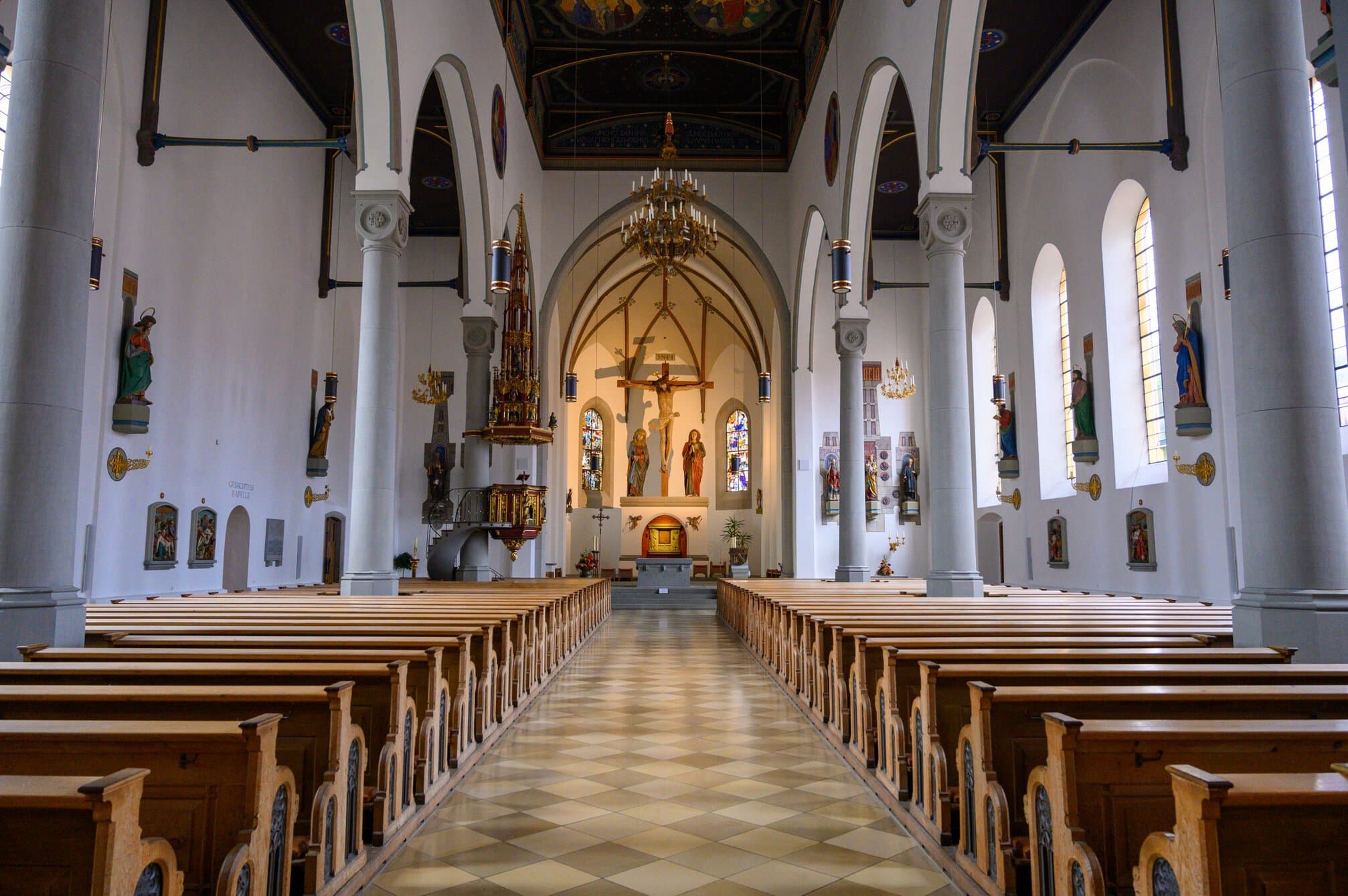
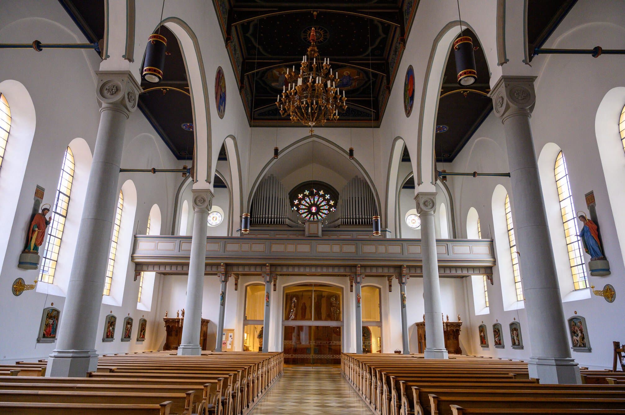
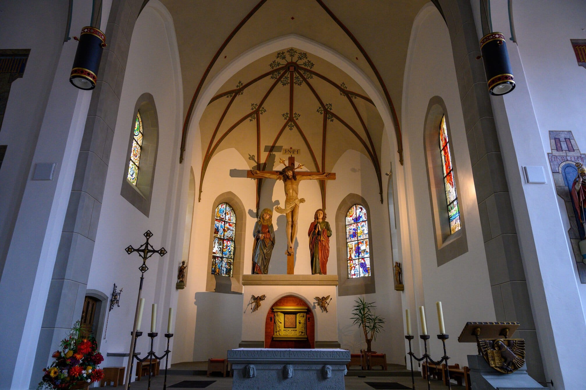
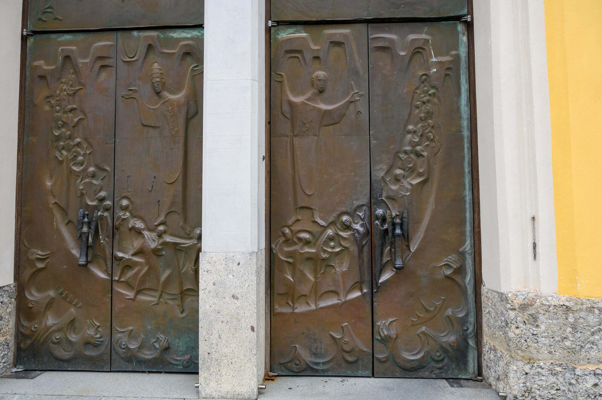
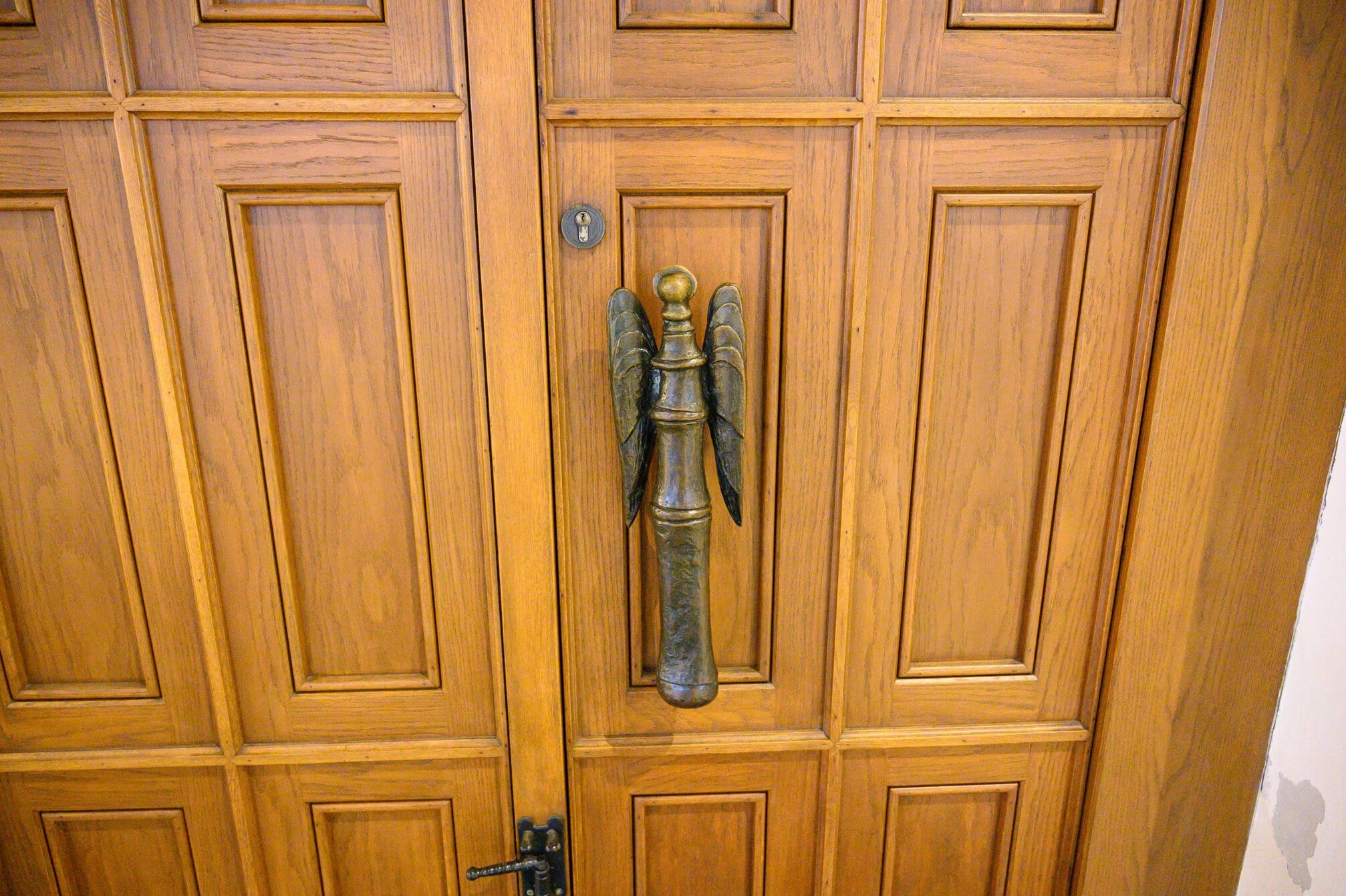
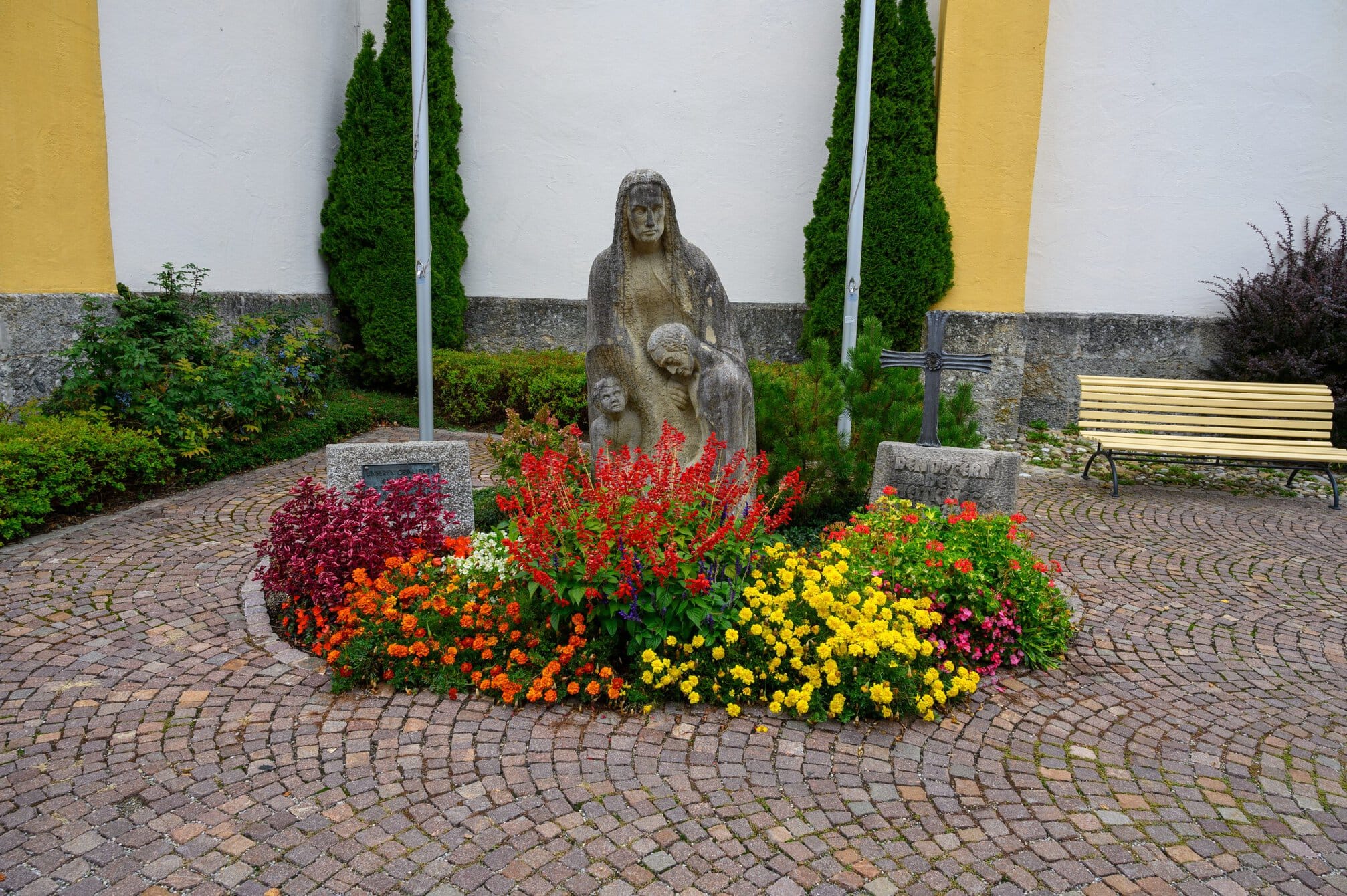
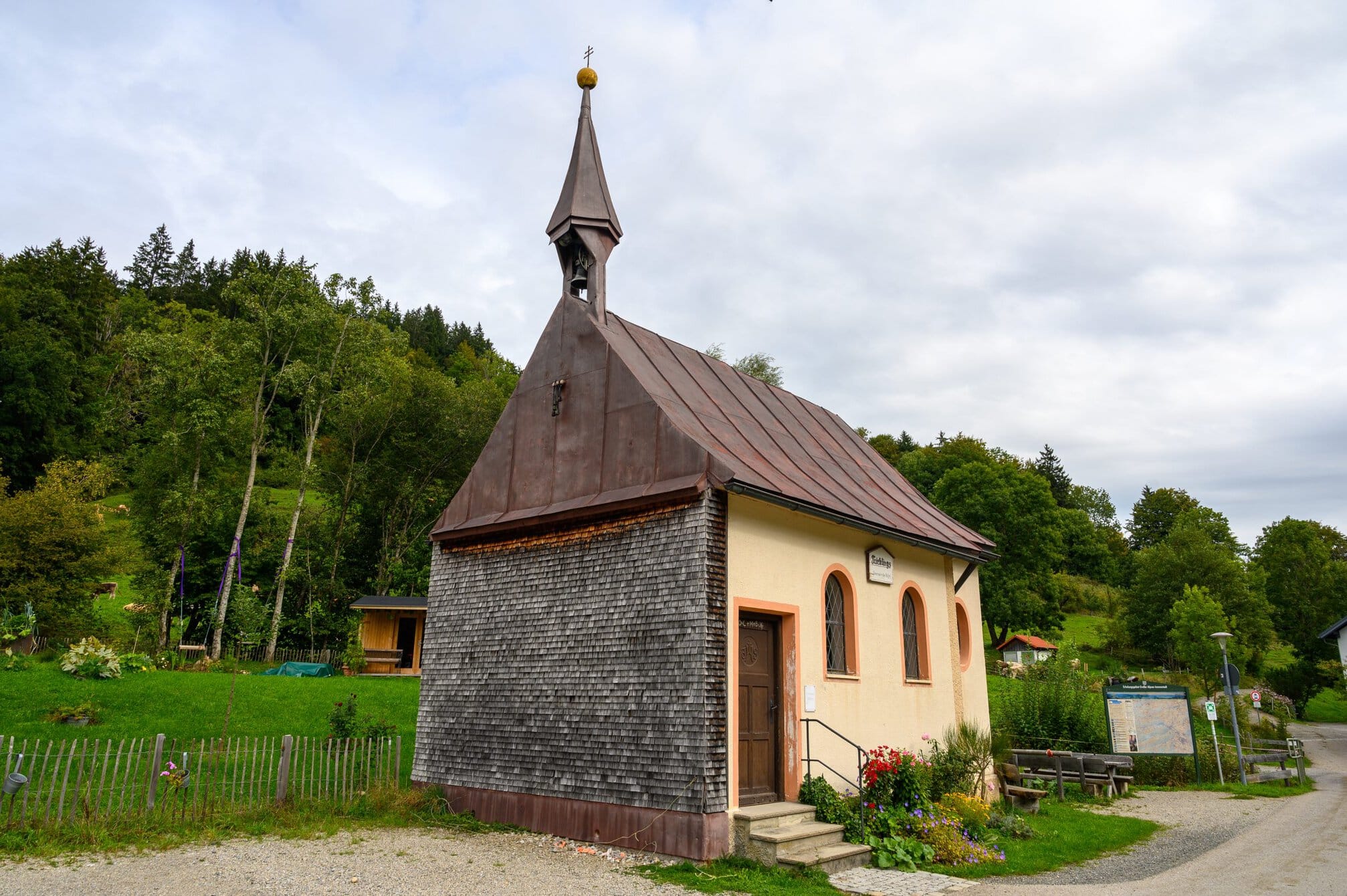
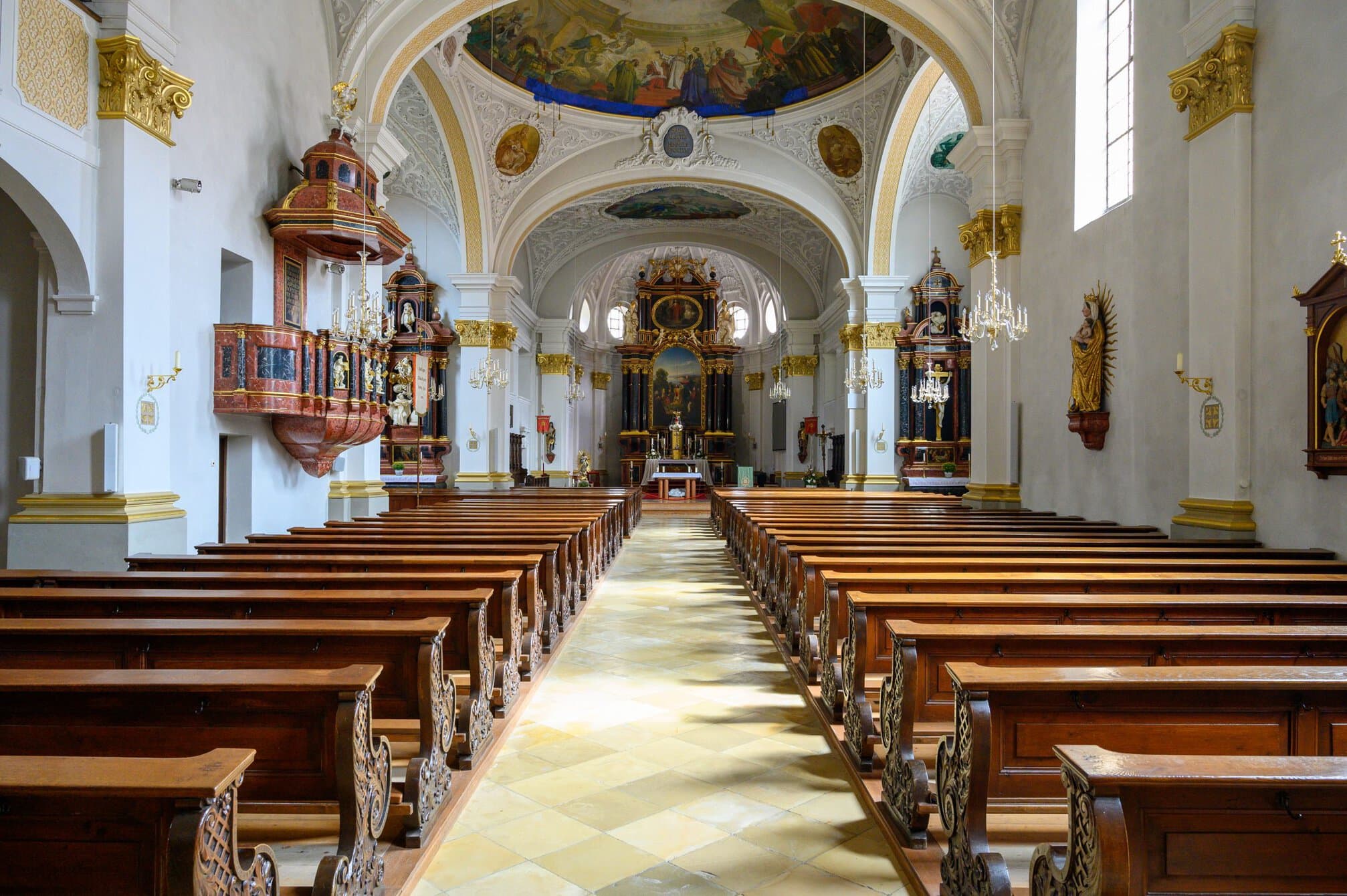
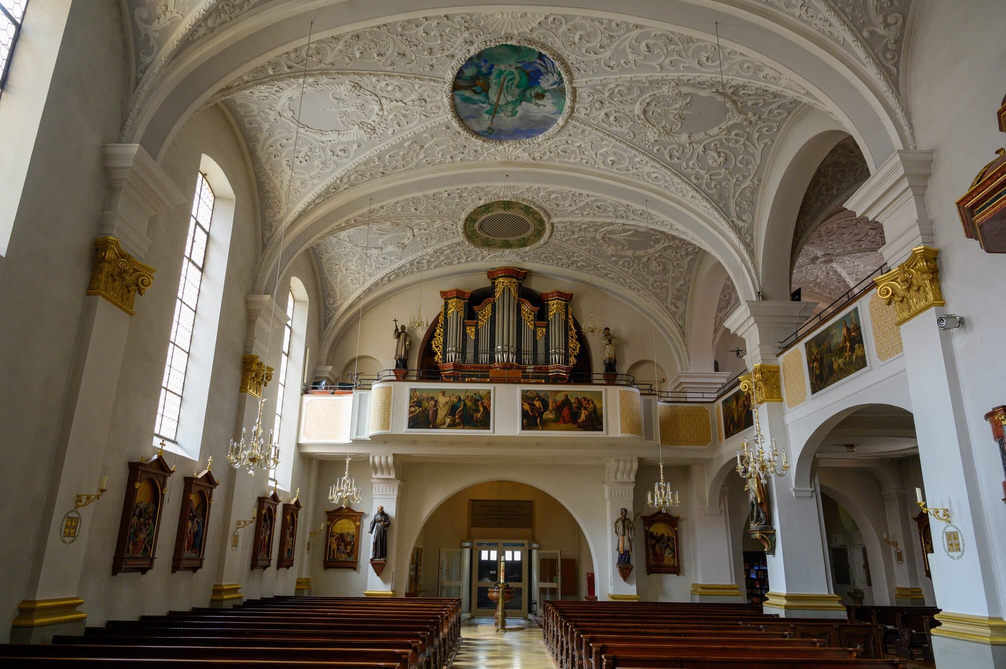
I walked out of town after visiting the church. I like the lighter and more intime churches I have visited in Switzerland and Germany so far. I left town walking around 1.000m high Staufner Berg, and followed the rail track slightly elevated from the valley below.
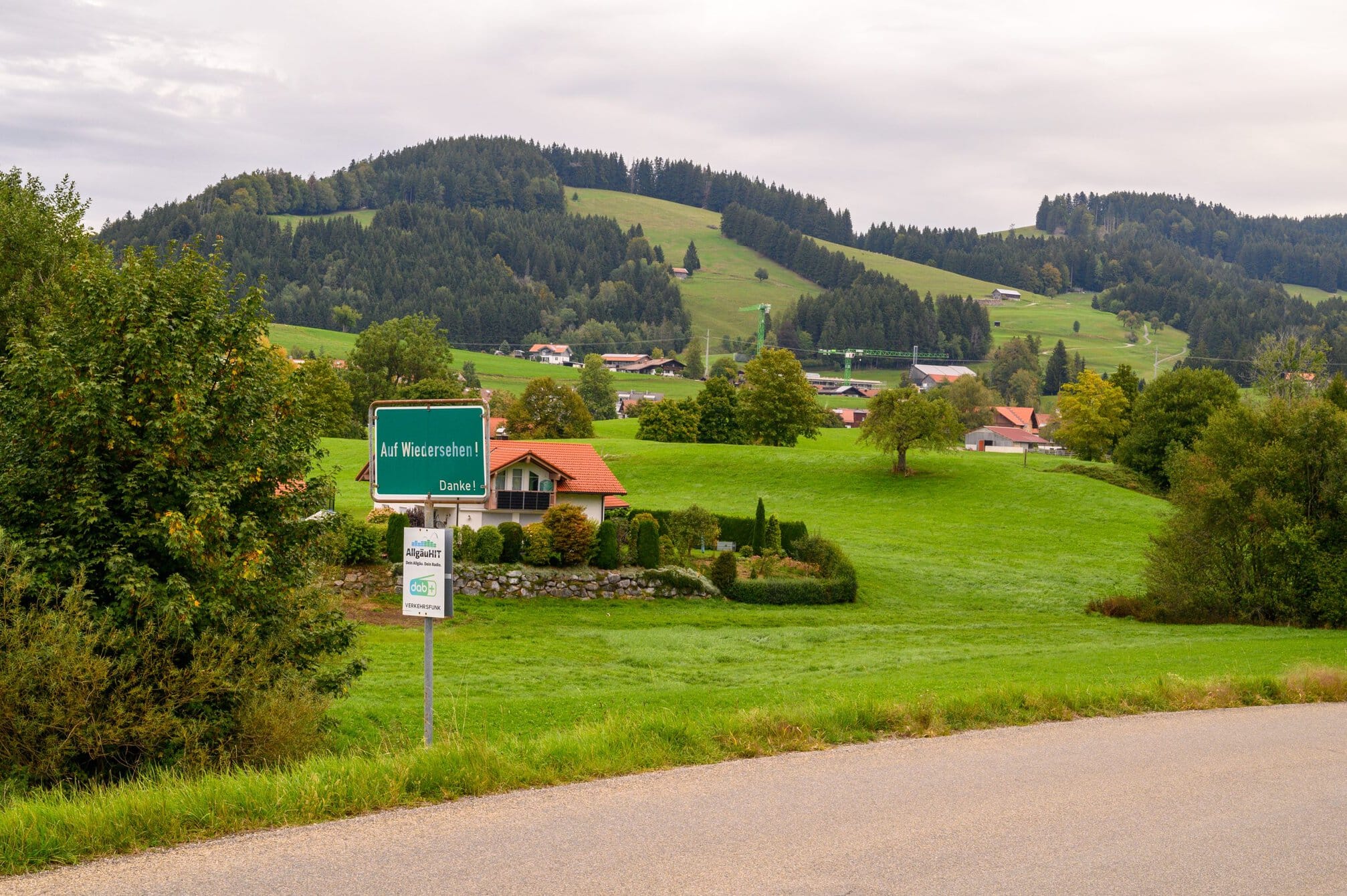
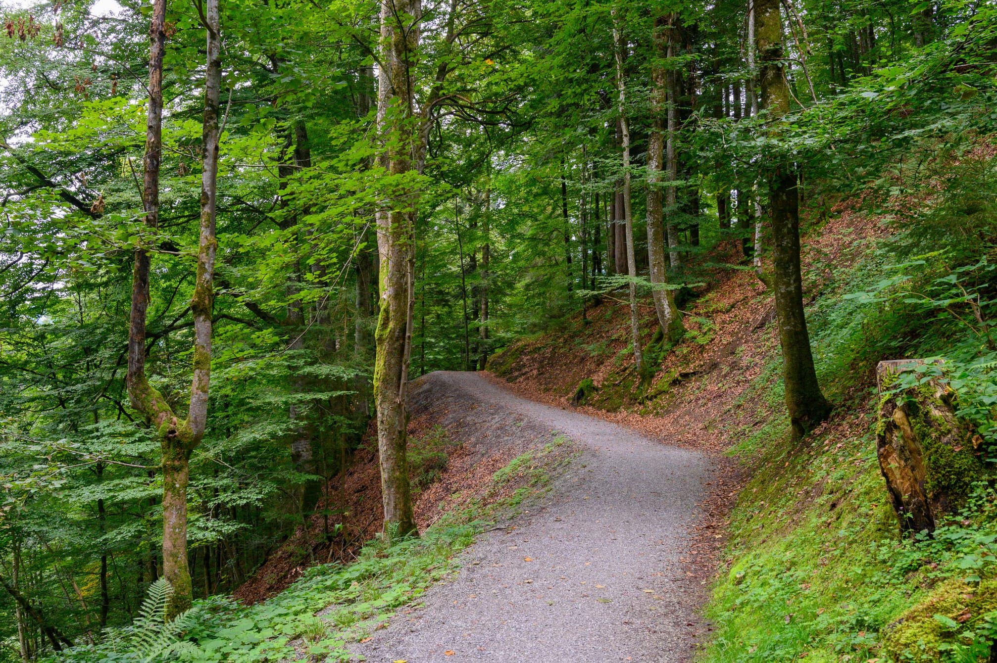
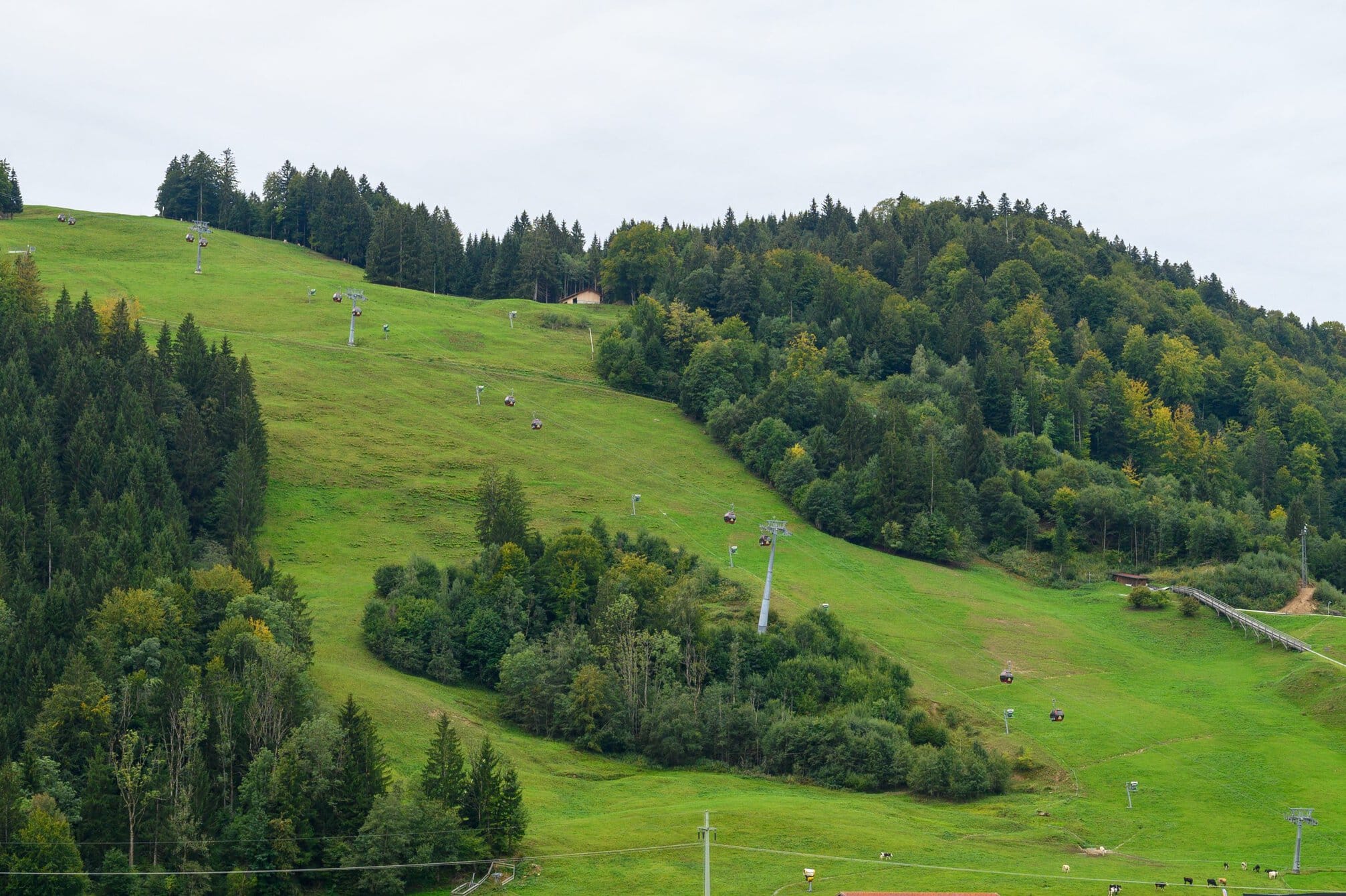
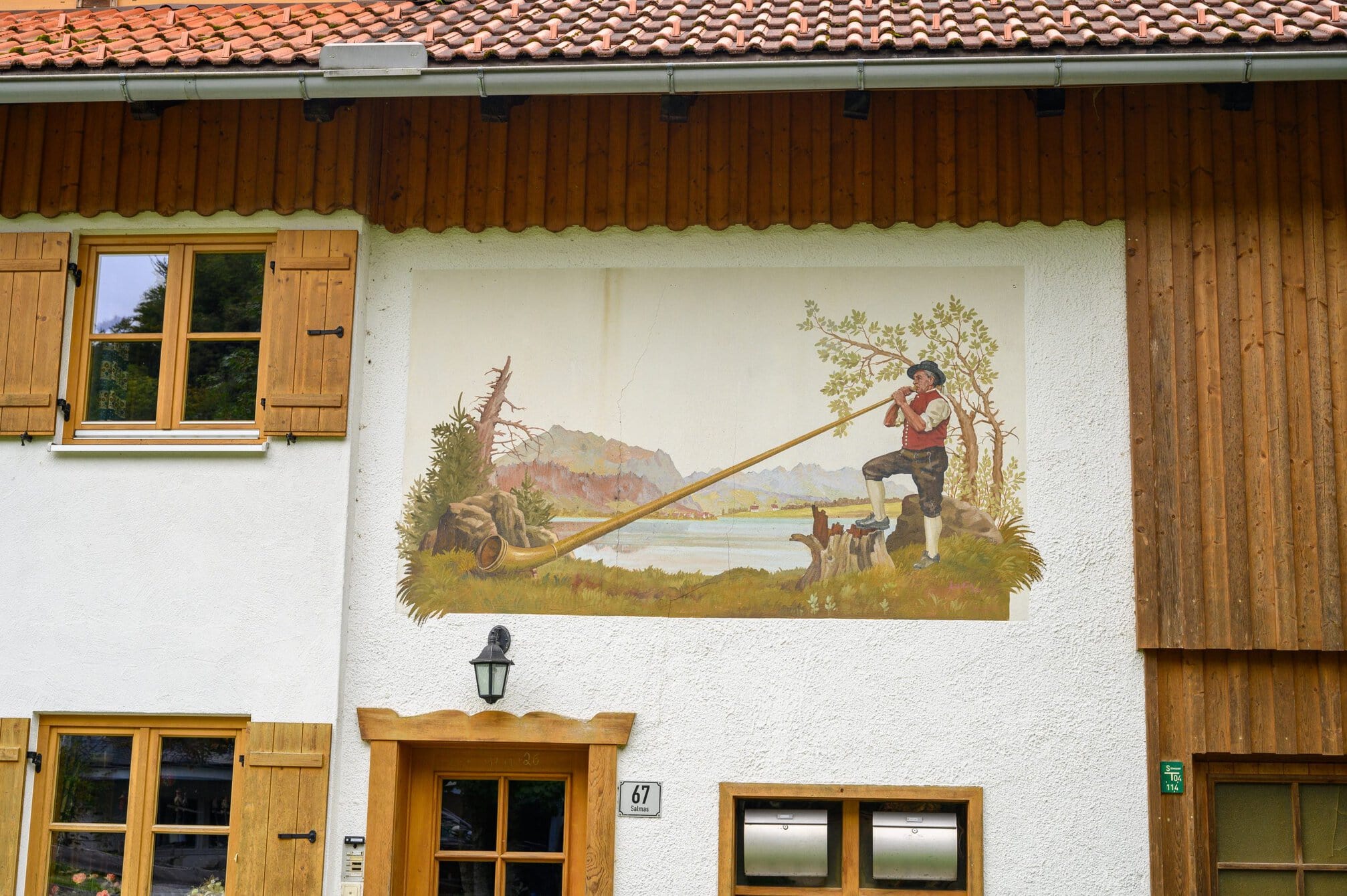
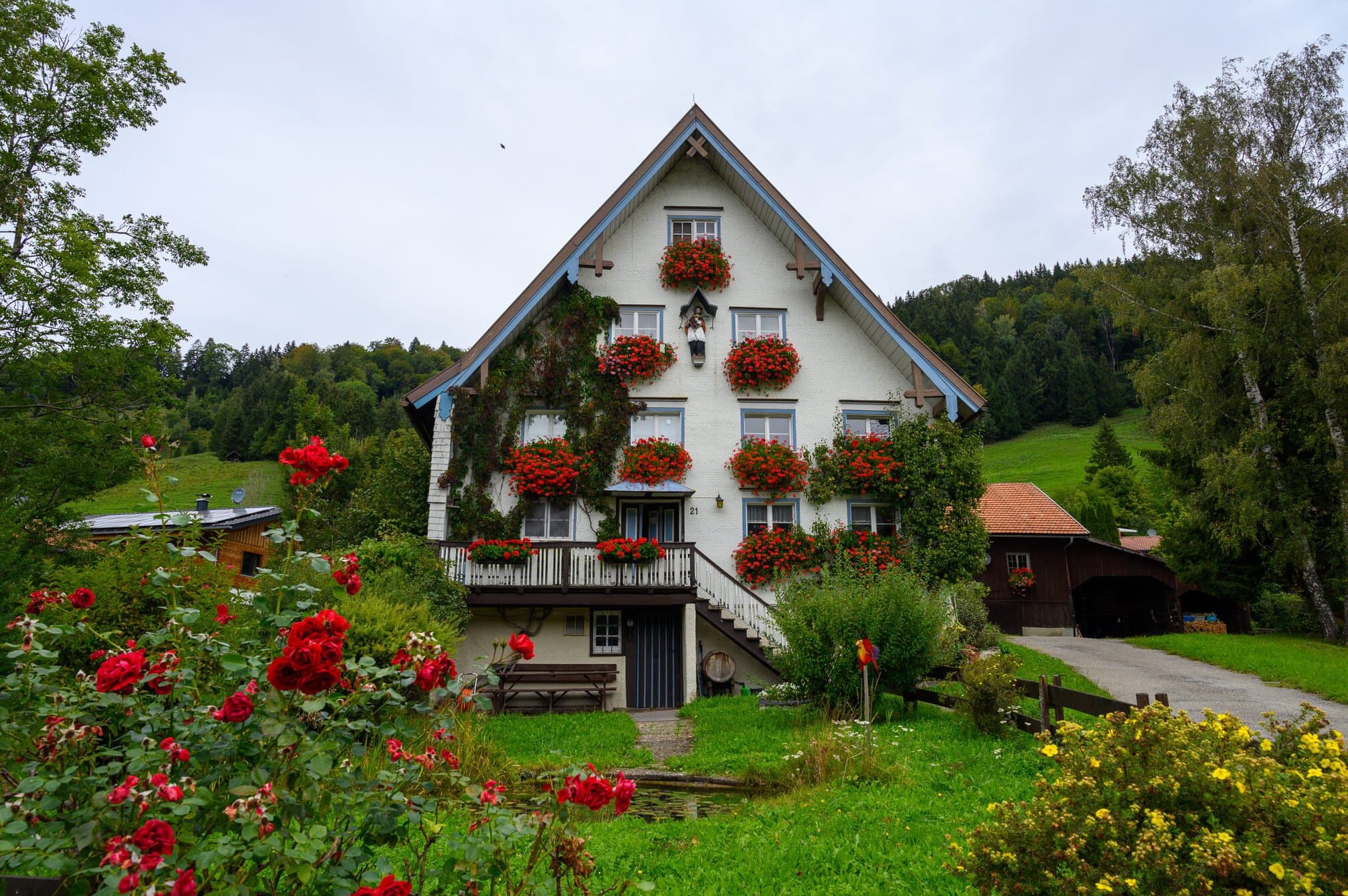
There were many people out and about, not least on bicycles. They all seemed to be going in the same direction. As I neared Talkirchdorf, I could see a crowd along a filed with a tent at the end. I thought it might be some kind of cycle ride, given the that I had seen so many people on bikes. Then I could here cow bells, without seeing any cows in the fields surrounding me. I passed north of the village and was surprised to see red and white tape along the road side.
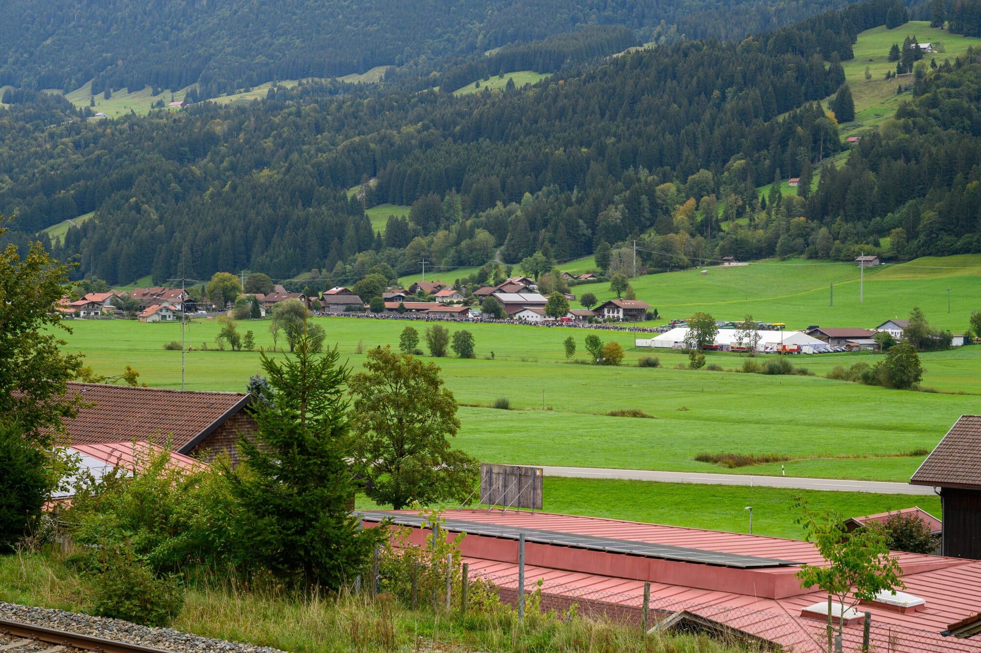
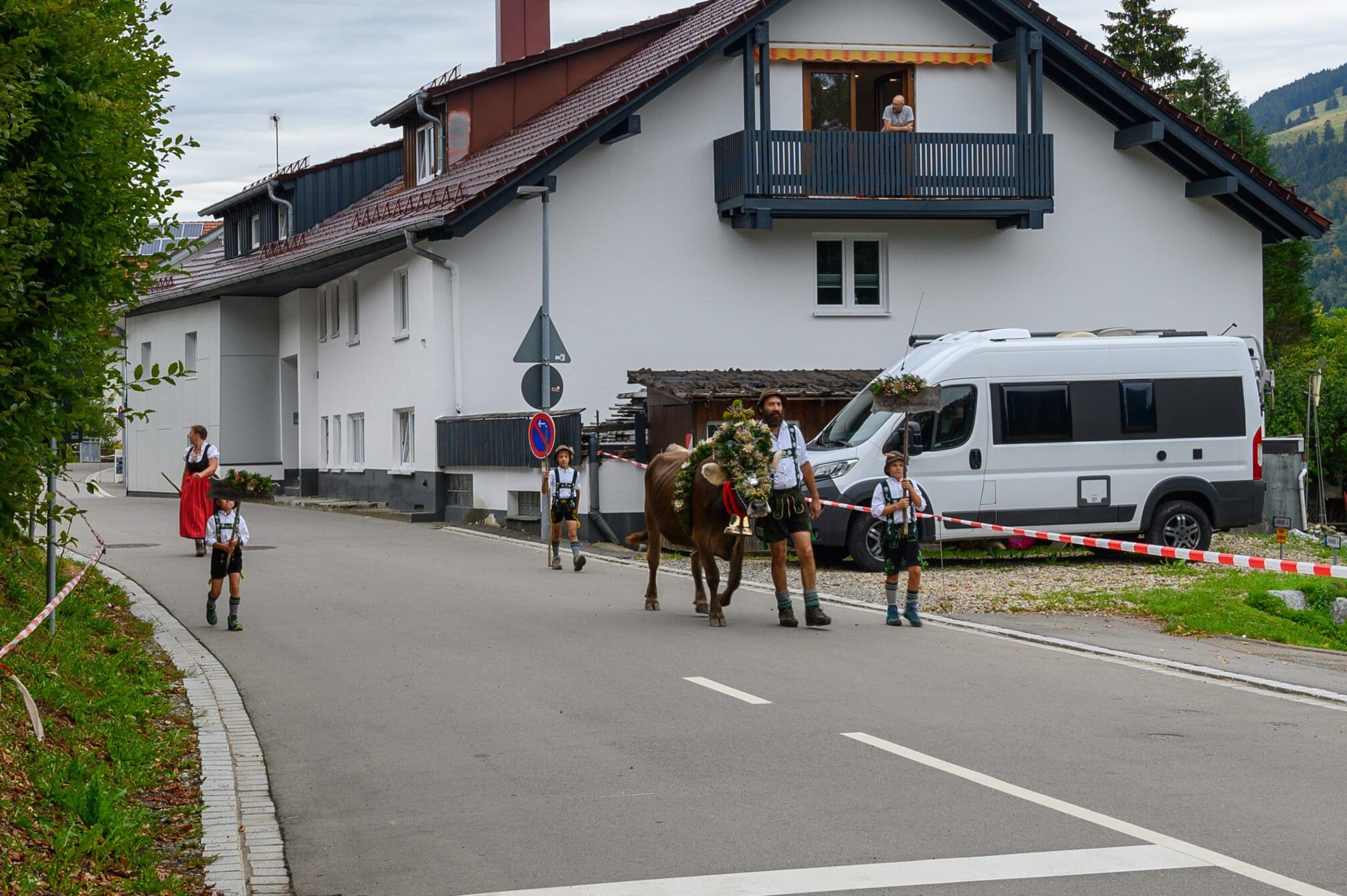
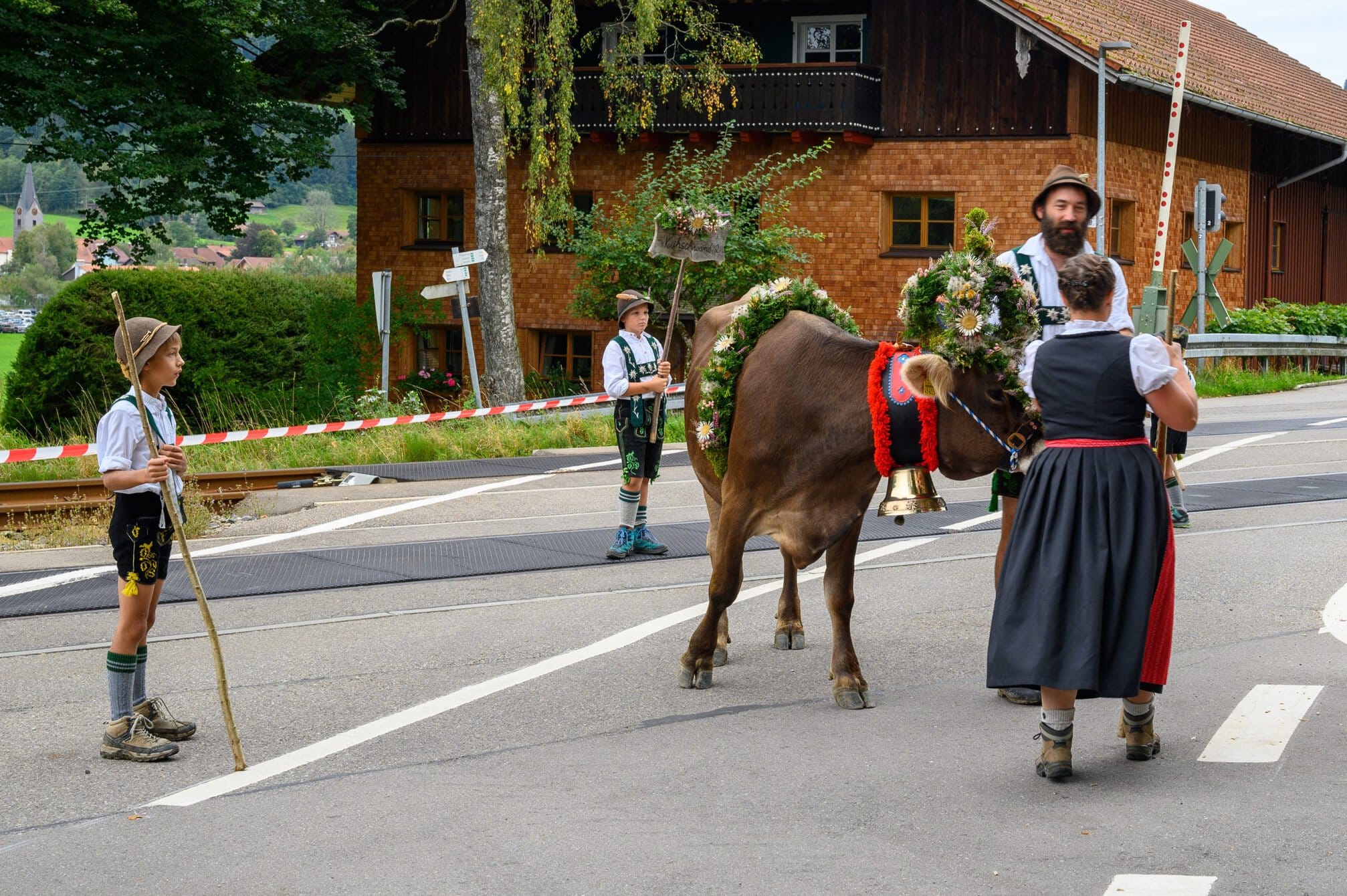
As I approached a crossroads, a man with an orange jacket got up and blocked the road I was walking along with the red and white tape and along came a family with a cow covered with a flower decoration. Today is the day that the cows are moved from the mountains to the valley, a big day in this part of Germany. I was allowed to continue when the cow and family had passed.
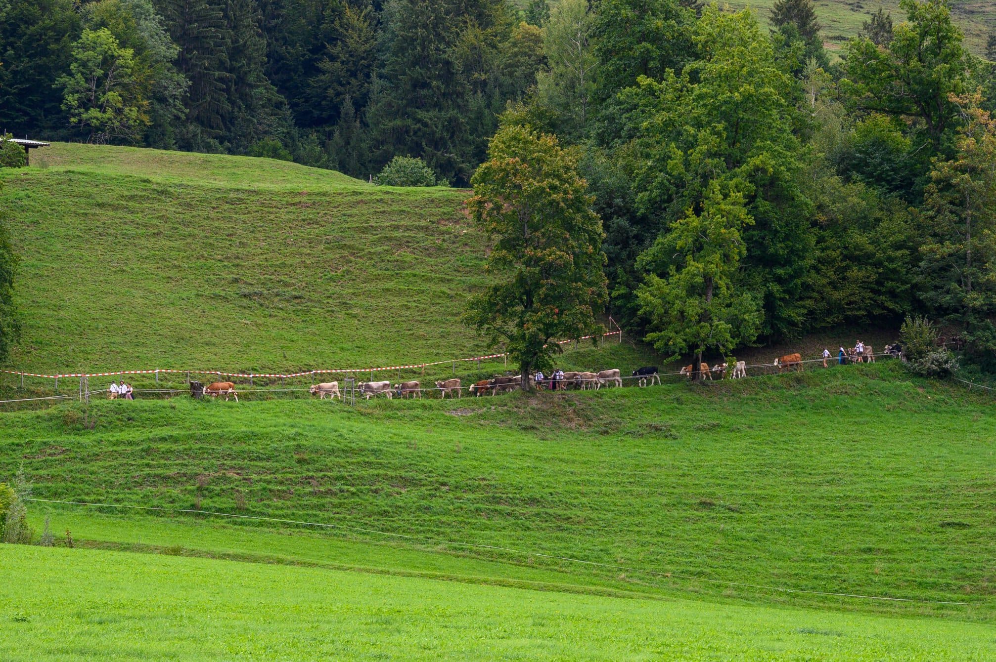
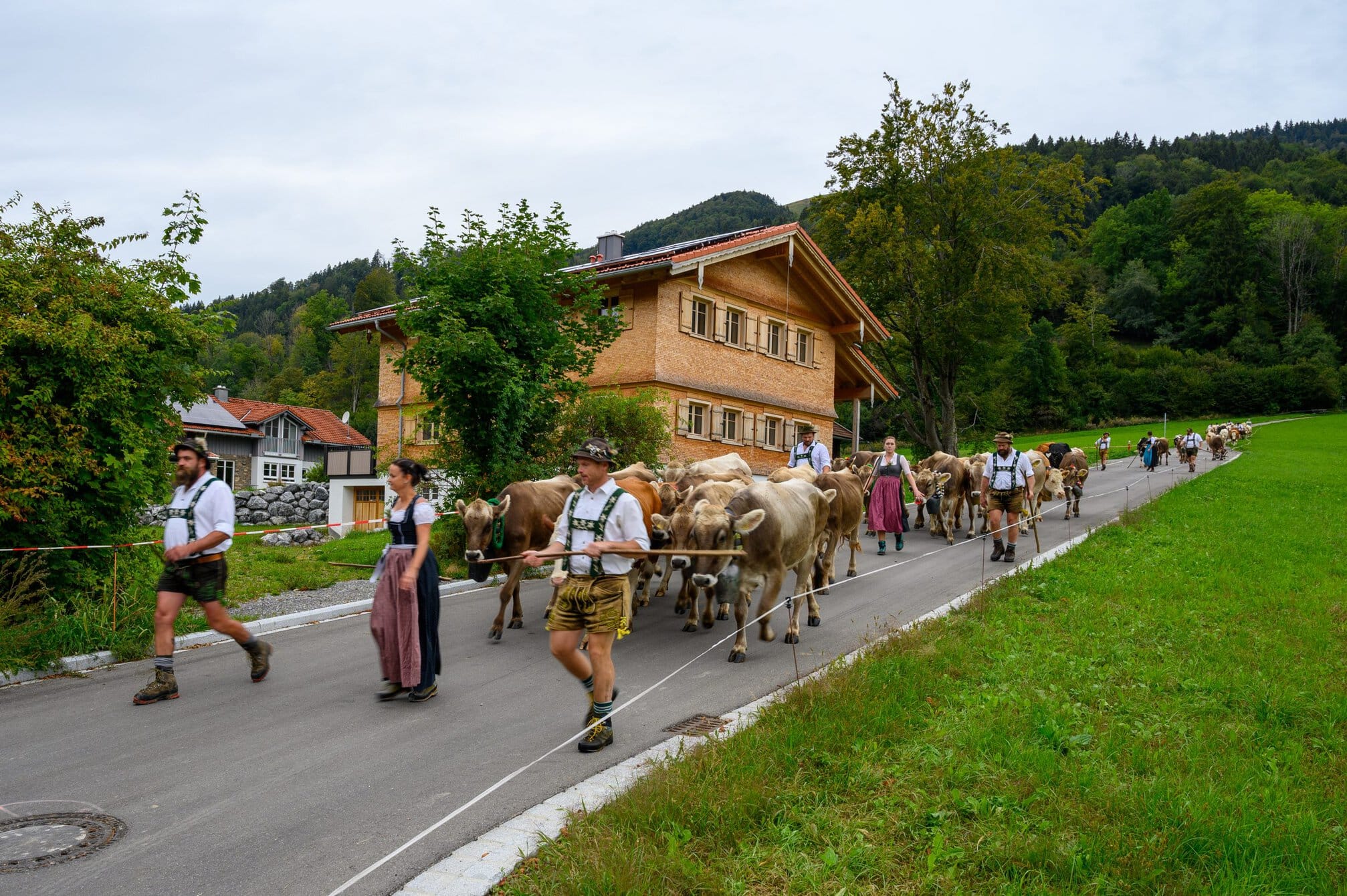
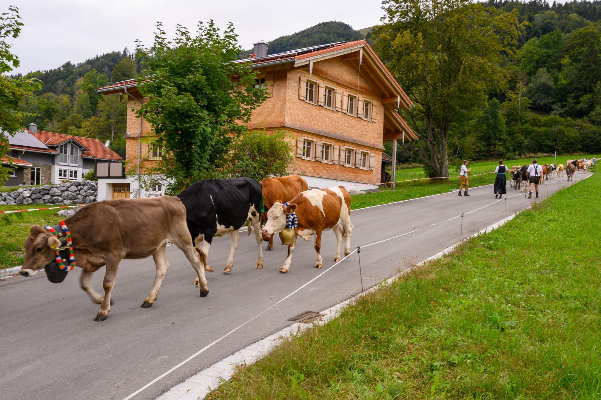
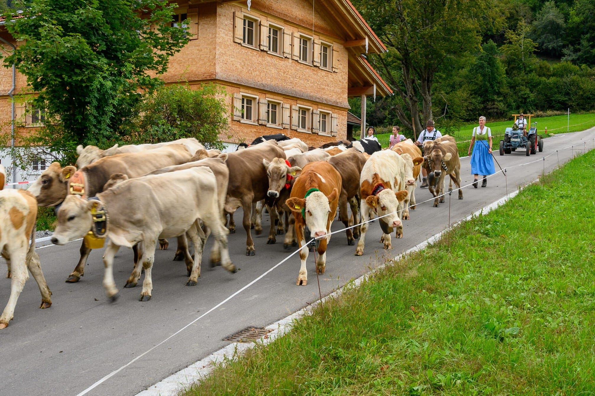
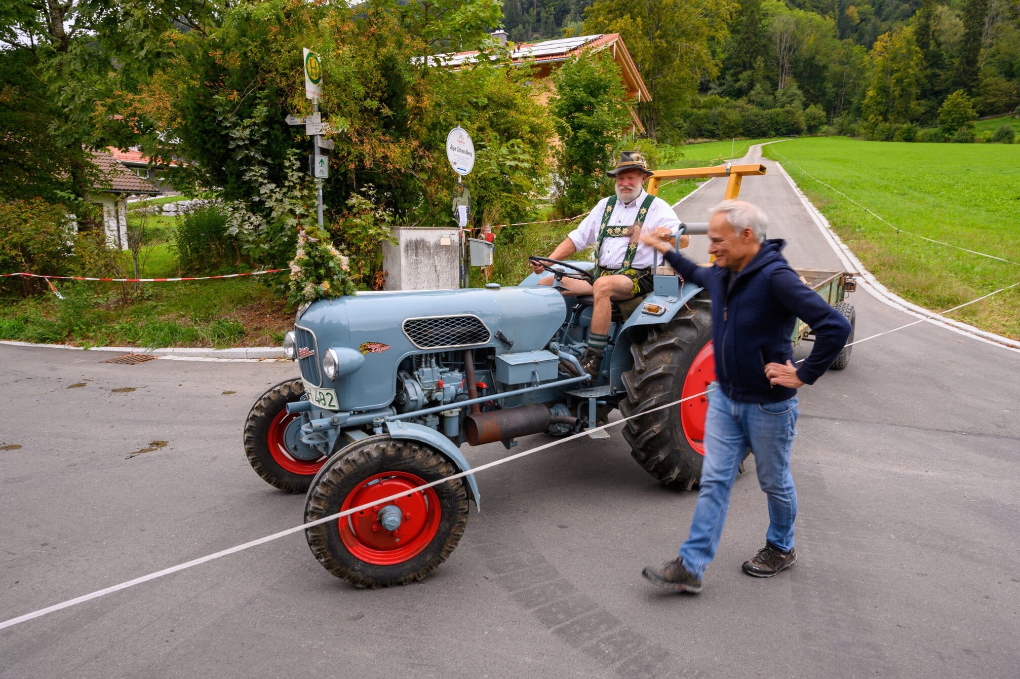
I could hear that I was walking towards a larger group of cows, based on the noise of the cow bells. At the edge of town a larger group of cows and the farmers were walking into town. I stopped to watch and film them, as did others who happened to pass by. Everybody (well at least the humans) were smiling and happy. One could feel that this was a celebration. The cows and owners congregated at the field and tent and celebrated the day in front of the onlookers that lined the field I had seen earlier.
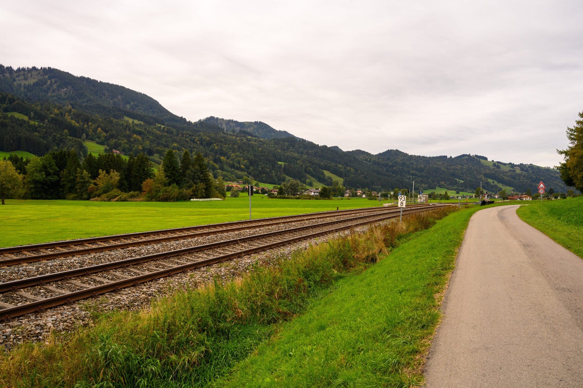
I continued along the railway track. I had noticed was that there weren’t any trains running along the line, normally there were trains every hour in both directions. This is probably due to the fact that the cows needed to cross the tracks , and the railway company didn’t want to take any risks.
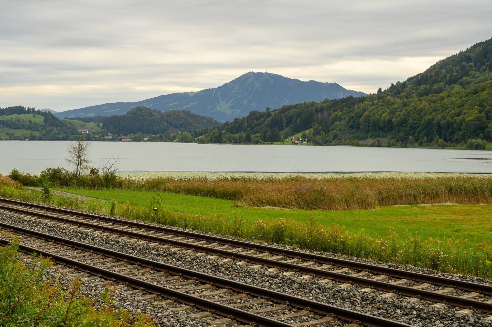
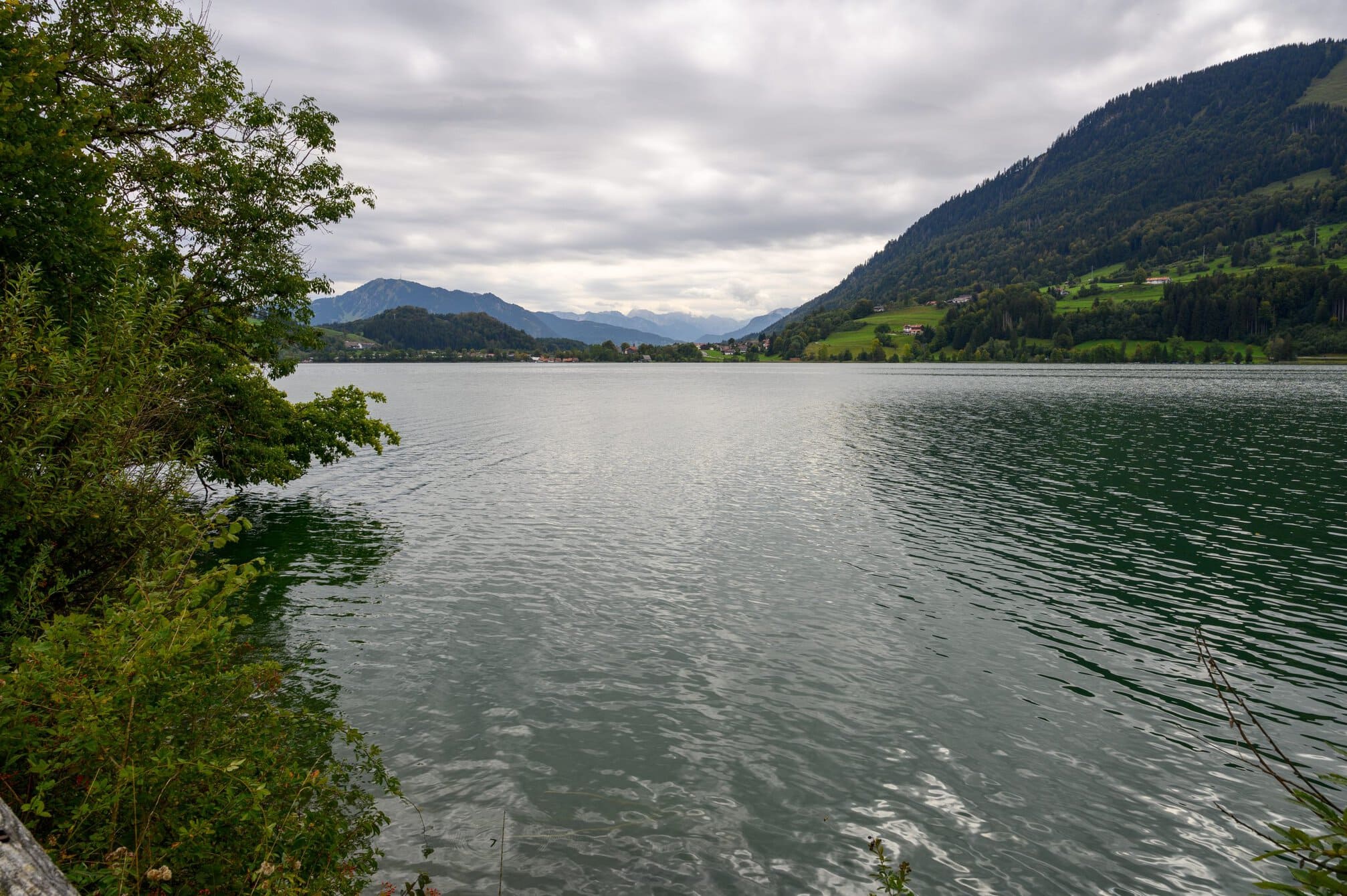
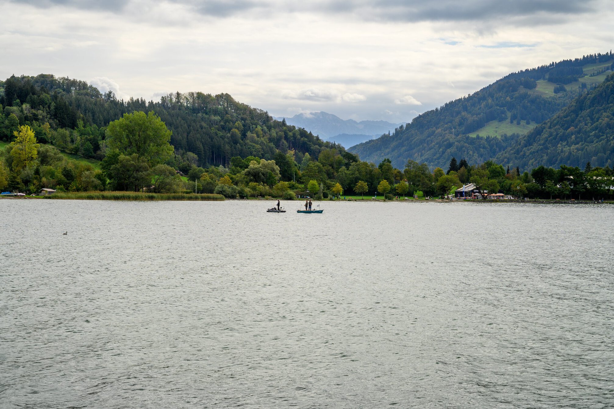
I continued on towards the Grosser Alpsee, the largest natural lake in the area, with a circumference of 8.1km. I was still walking on a cycle/walking path with the mountains on my lefthand and the valley on my right. I walked along the northern and eastern sides of the lake. I made a break at the south eastern corner of the lake, where there was a tourist information centre and toilets, as well as a few street food stands. I rested with a coffee and muffin.
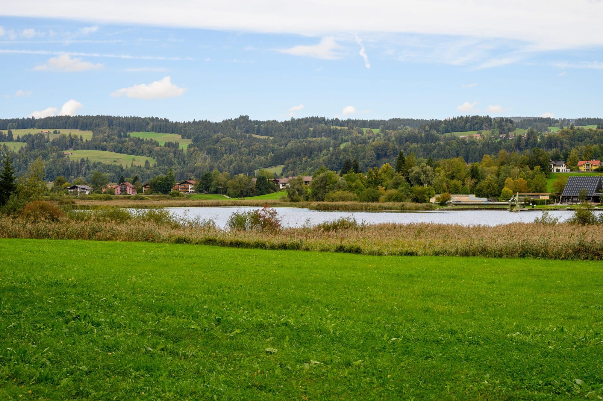
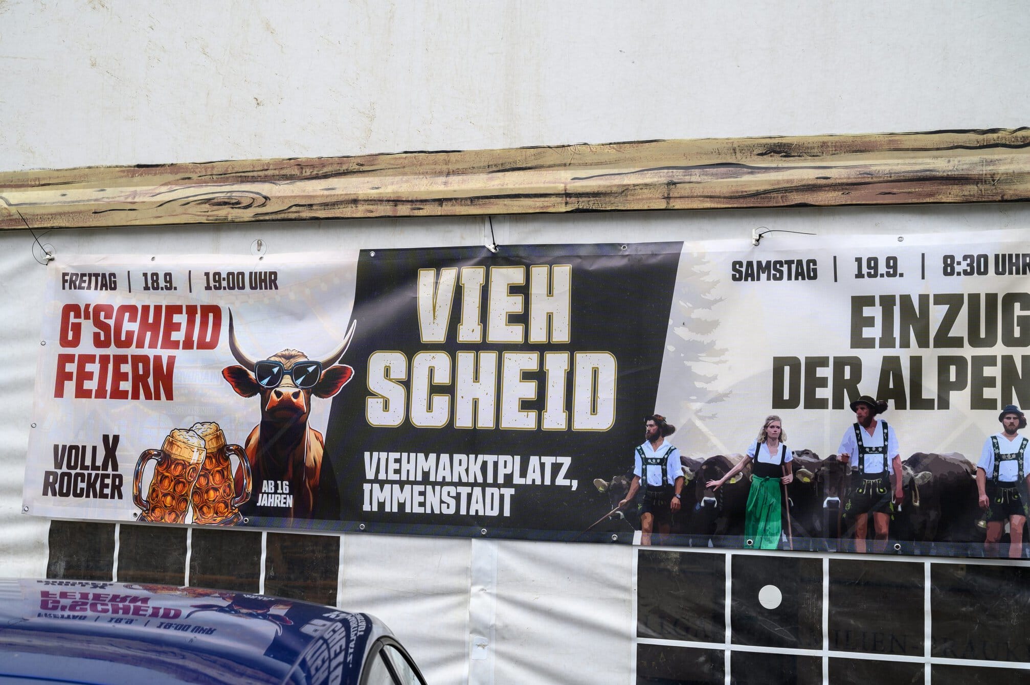
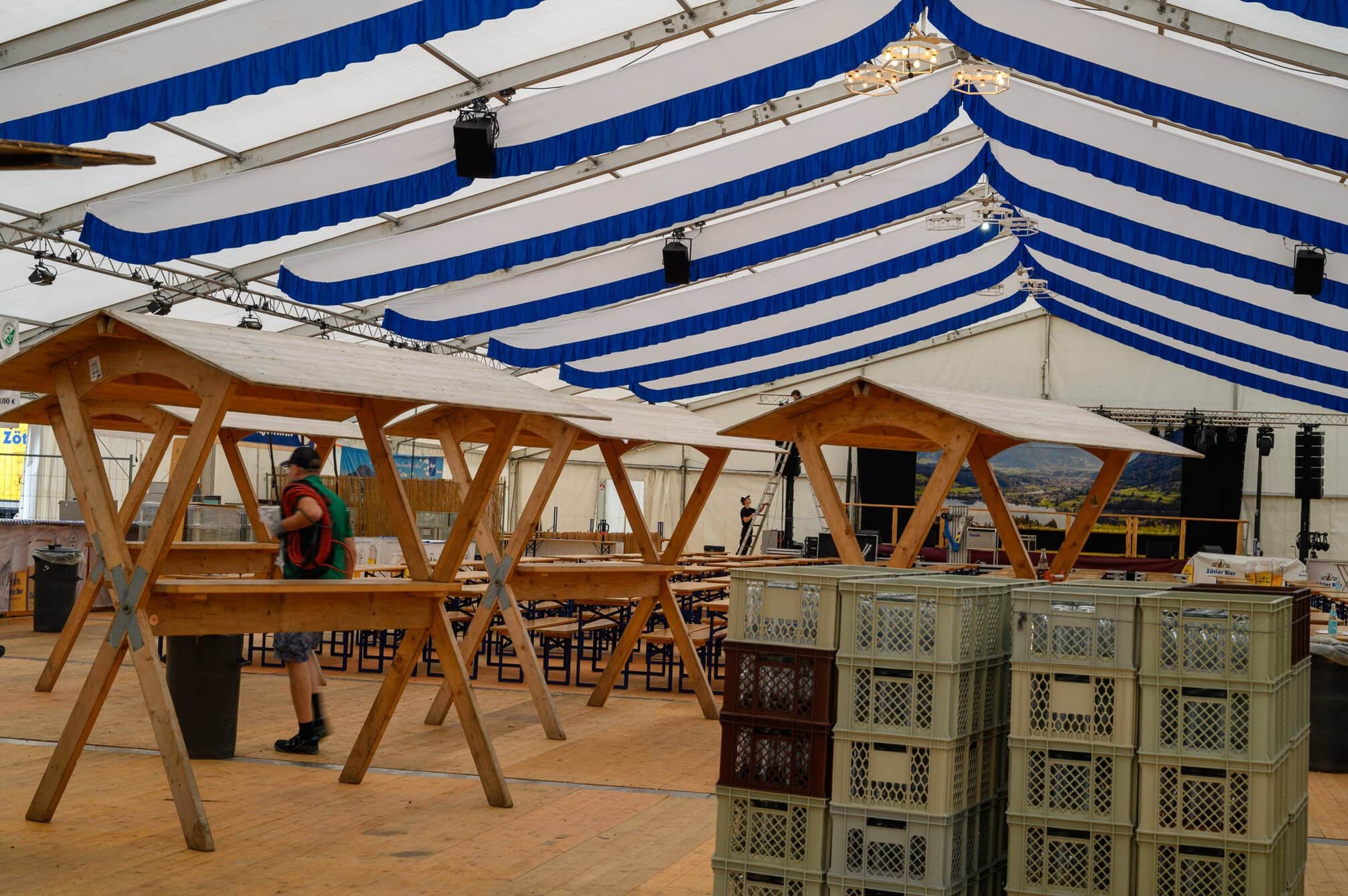
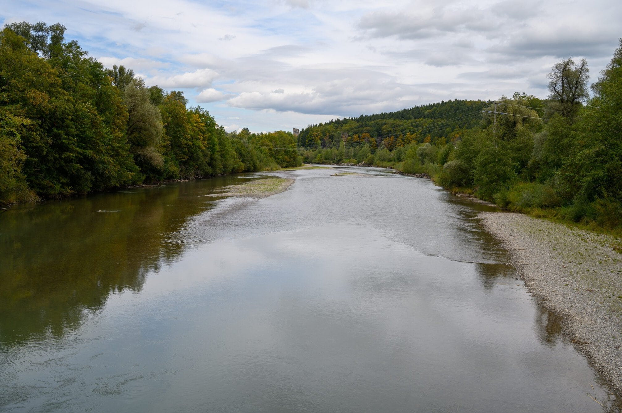
I continued toward the largest town in the area, Immenstadt im Allgäu, about 3km away, walking along the Konstanzer Ach which flows into the lake. I passed another, smaller, lake, appropriately named the Kliener Alpsee, which the river also flows through. On the outskirts of town a tent was erected and people where many people were preparing it for their own Oktoberfest. There were pictures of the cows coming down from the mountains and I wondered whether the two events were connected in anyway or just a coincidence.
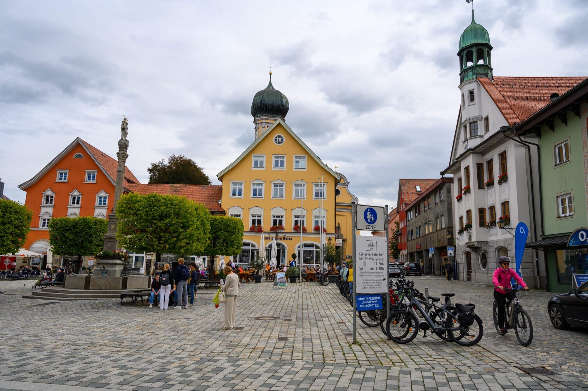
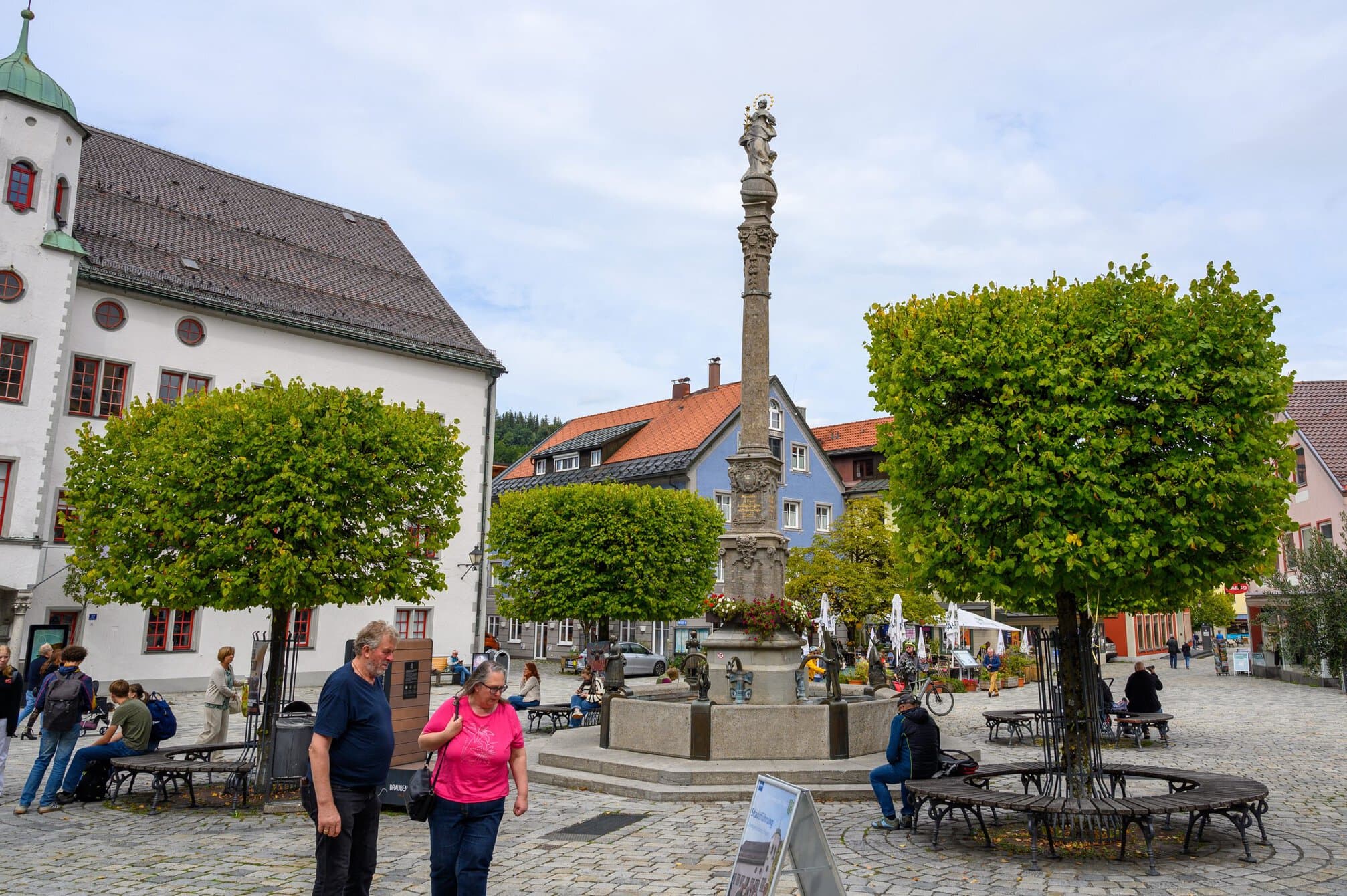
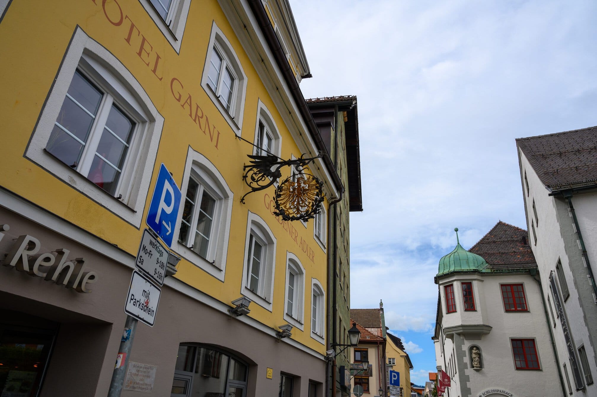
Immenstadt im Allgäu turned out to be a typical Bavarian town – at least based on the buildings surrounding the large squares.
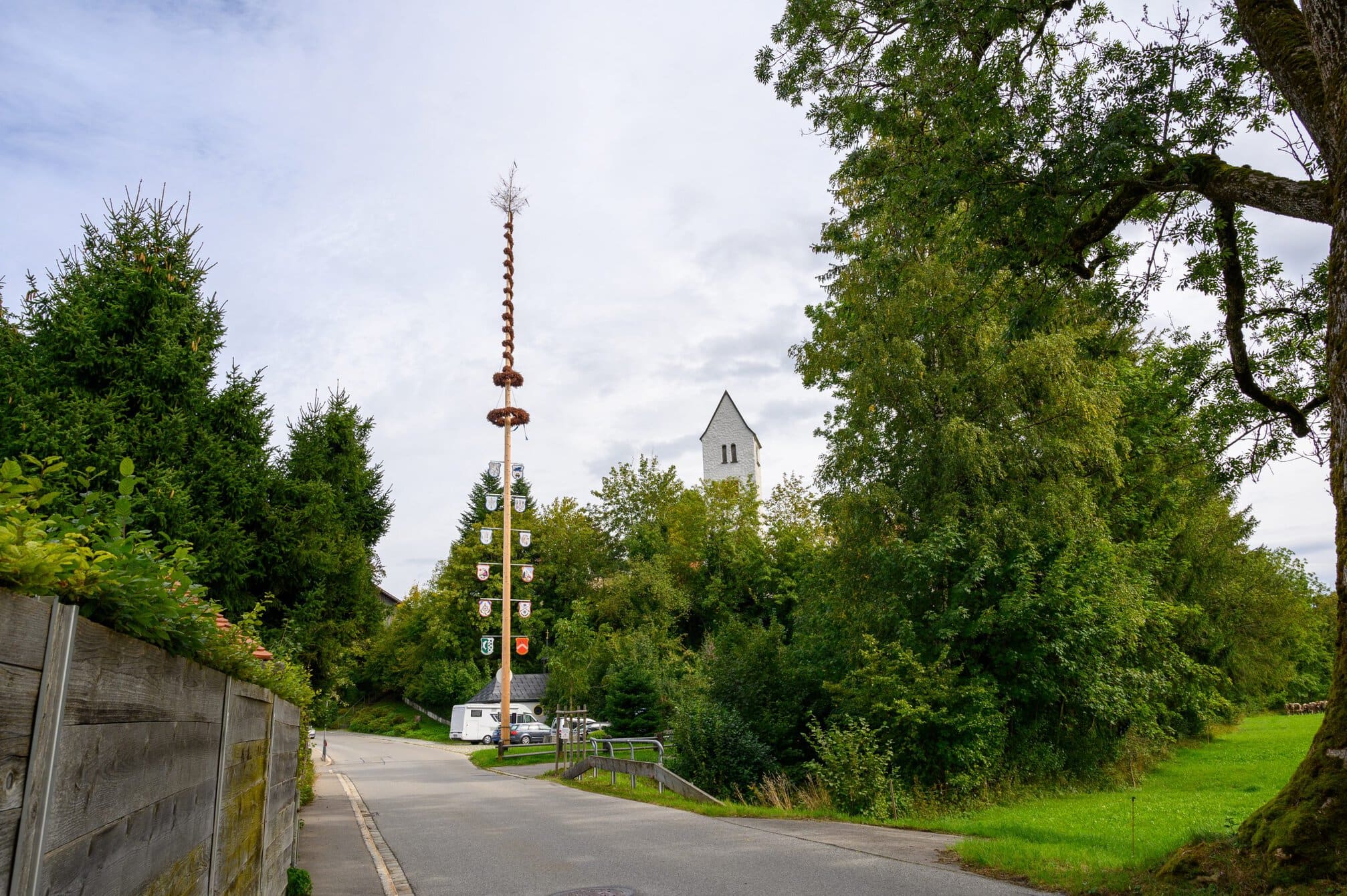
I had just had a break, so I didn’t stop up, but spent a few minutes to visit the church. Leaving town I soon found myself walking next to the railway lines again before passing by a sports complex, passed through Rauhenzell where I photographed a long pole with a Christmas tree on top. As I passed under a main road, there was a bench, so I decided to take a break and eat my egg and bread for lunch, as I could see that the remaining five kilometers were along a road.
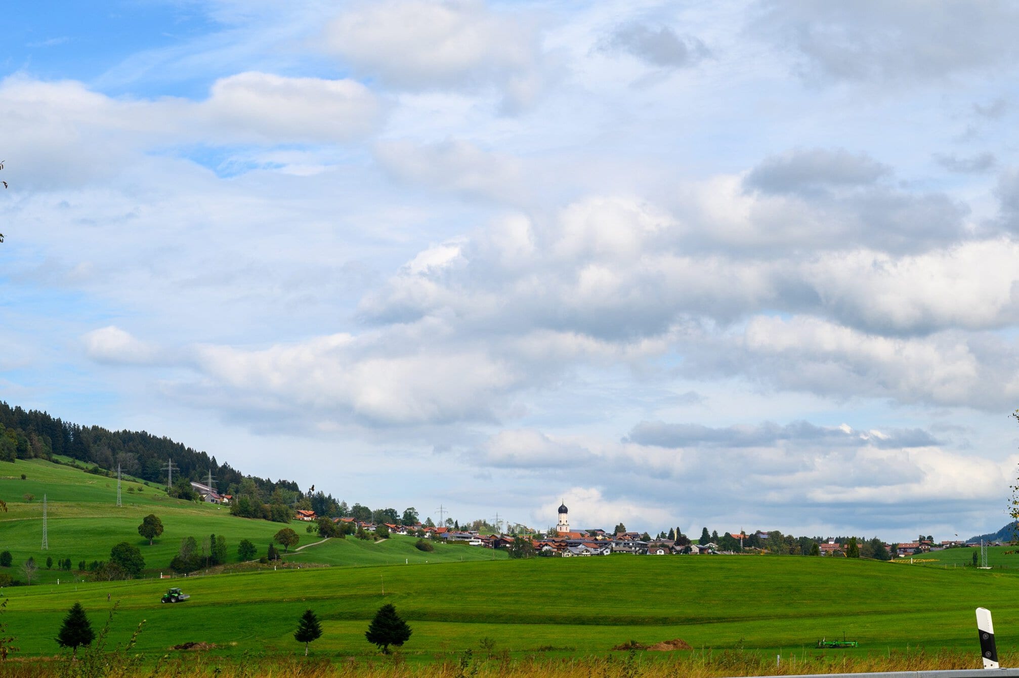
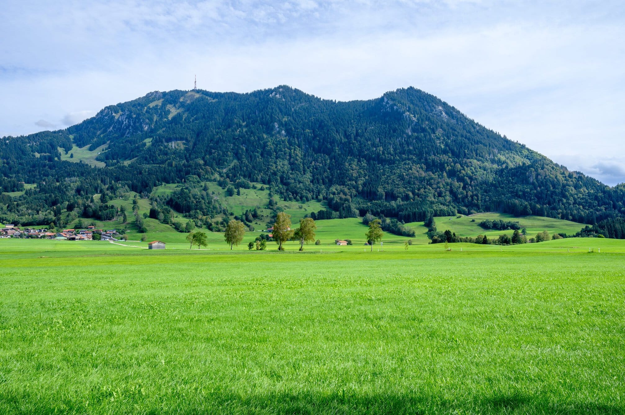
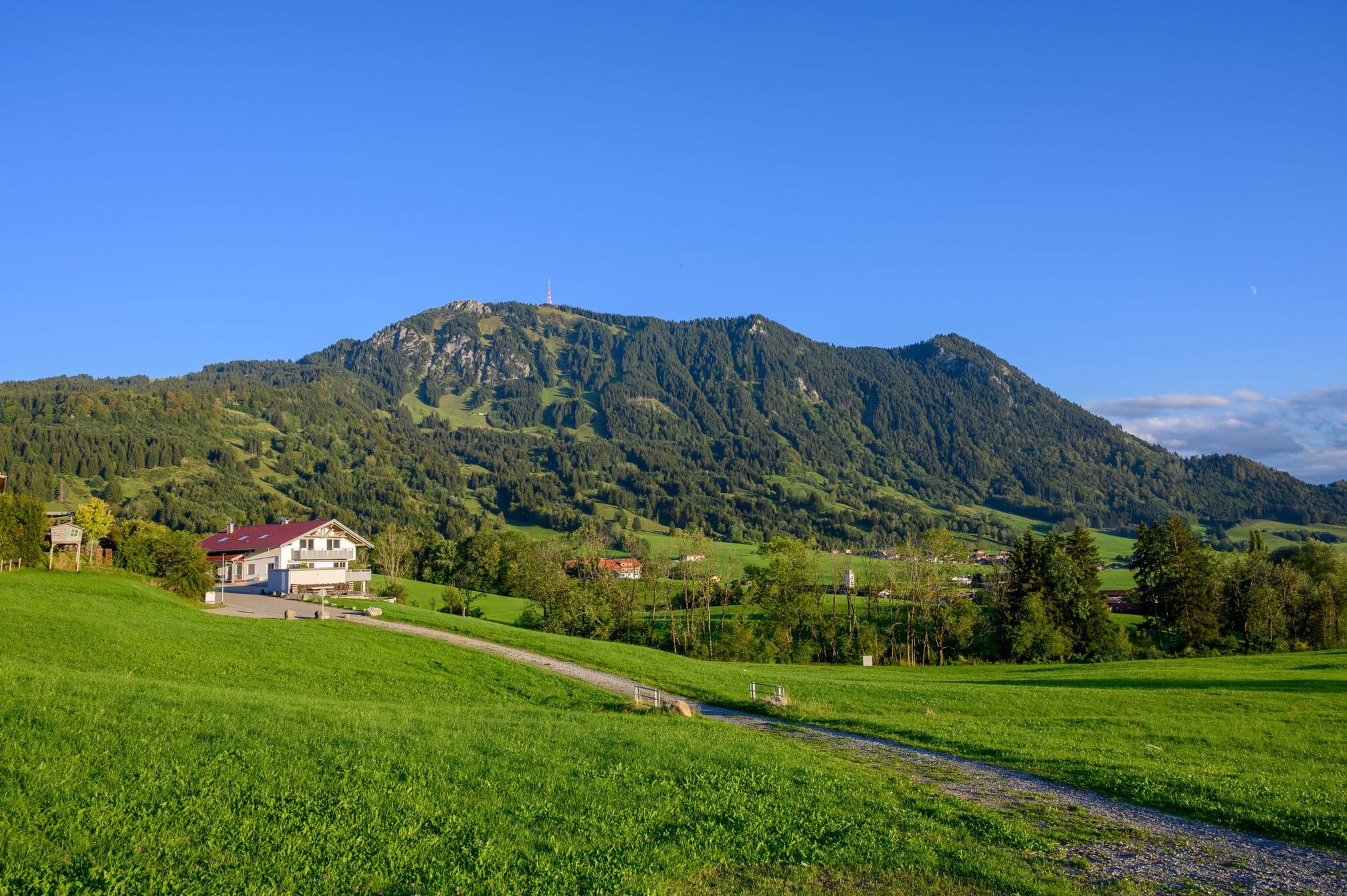
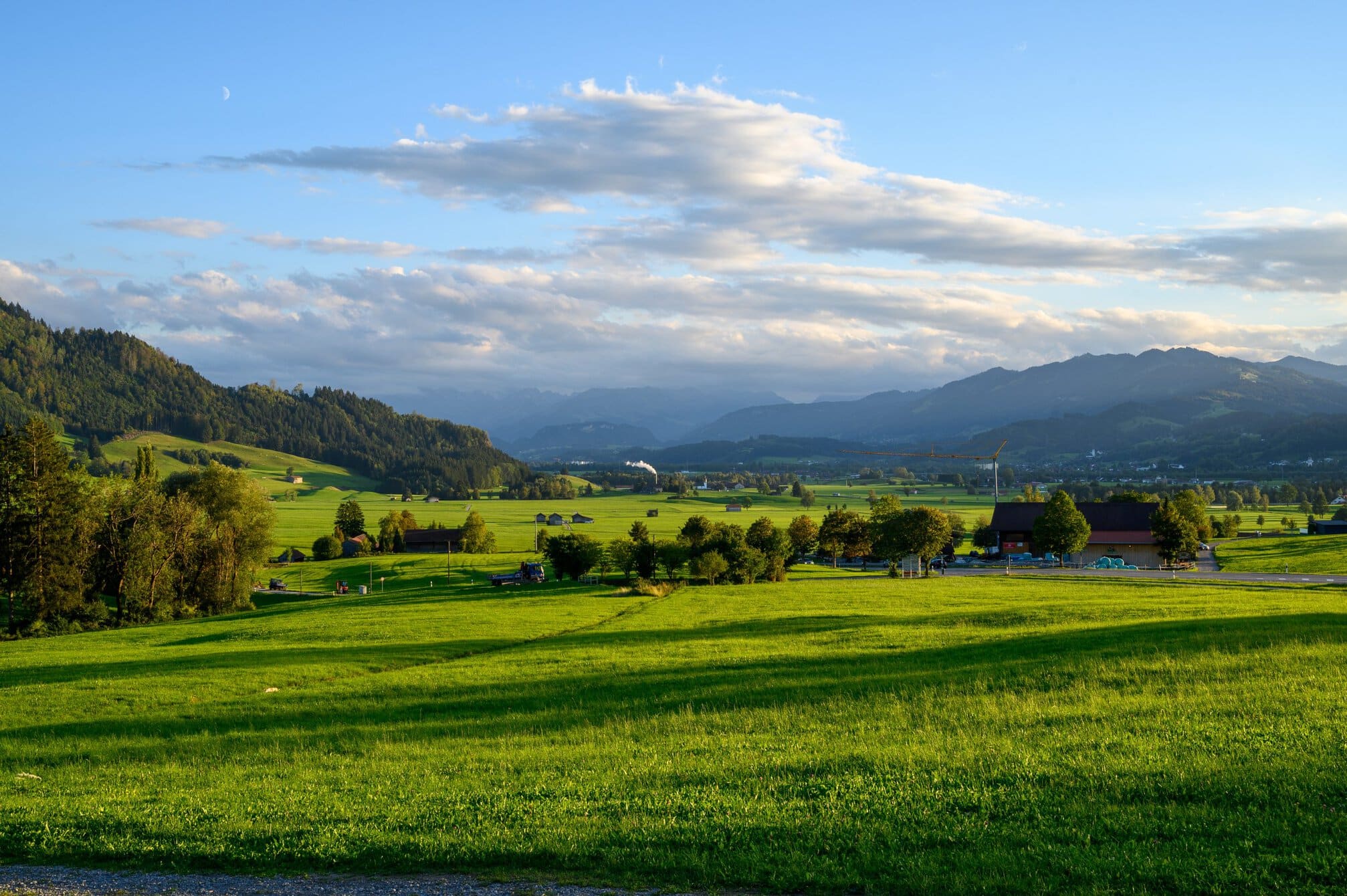
I walked along a cycle path next to the road in the middle of a wide open valley. The hills surrounding the valley reach up to 1.700m, and without realising it, I am walking at 700m above sea level. The mountain I was walking parallel to was Grünten mountain. Known as the “Guardian of the Allgäu,” – picture above.
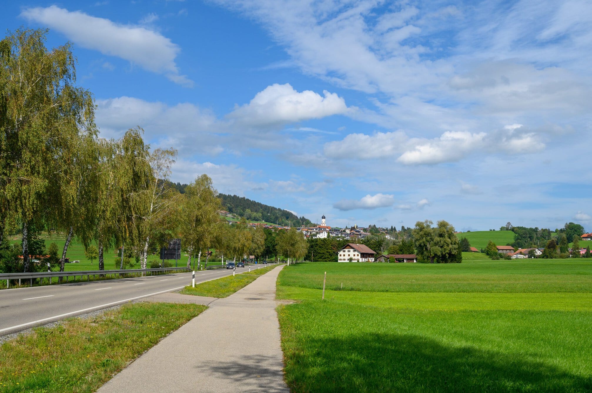
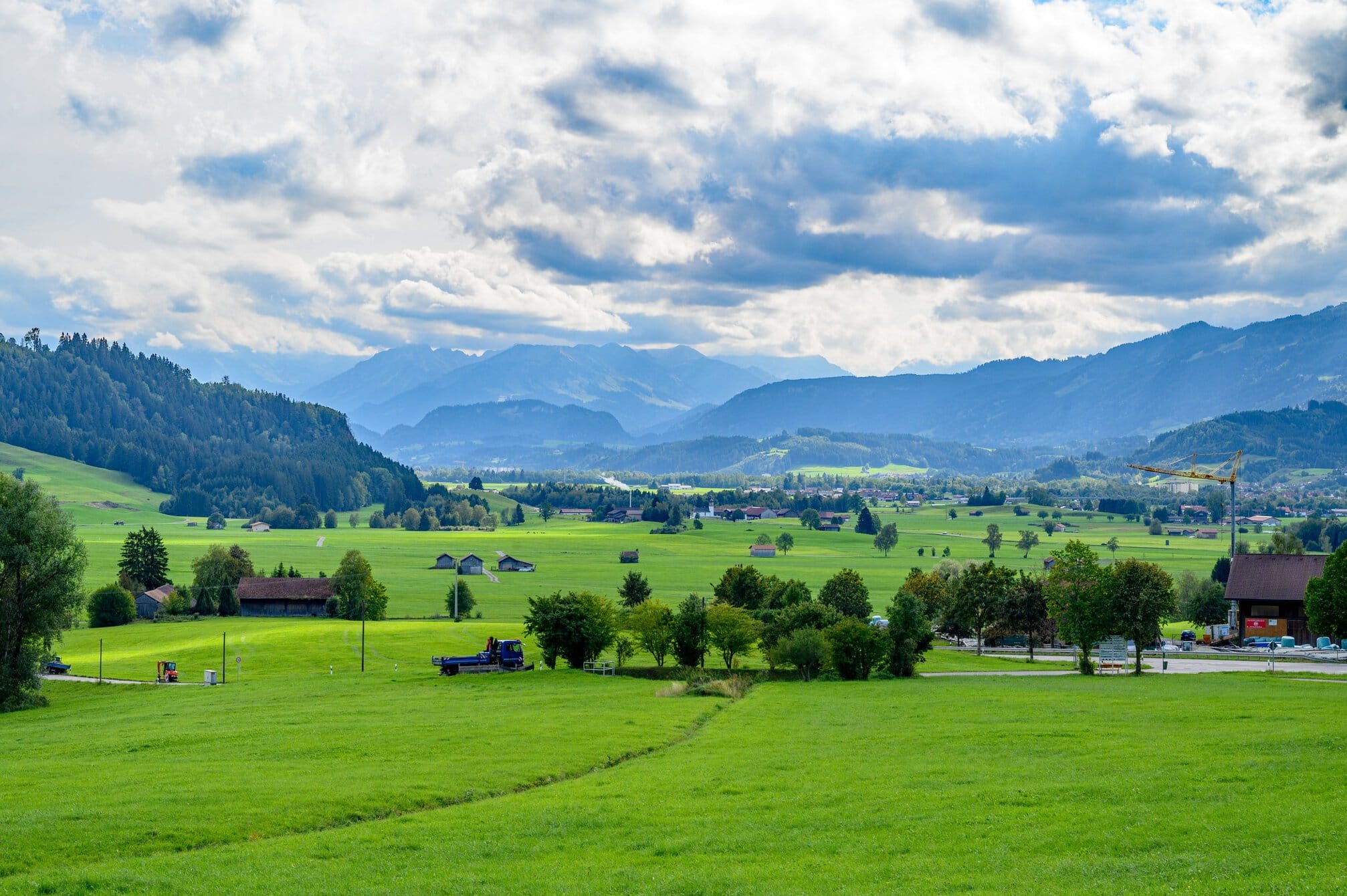
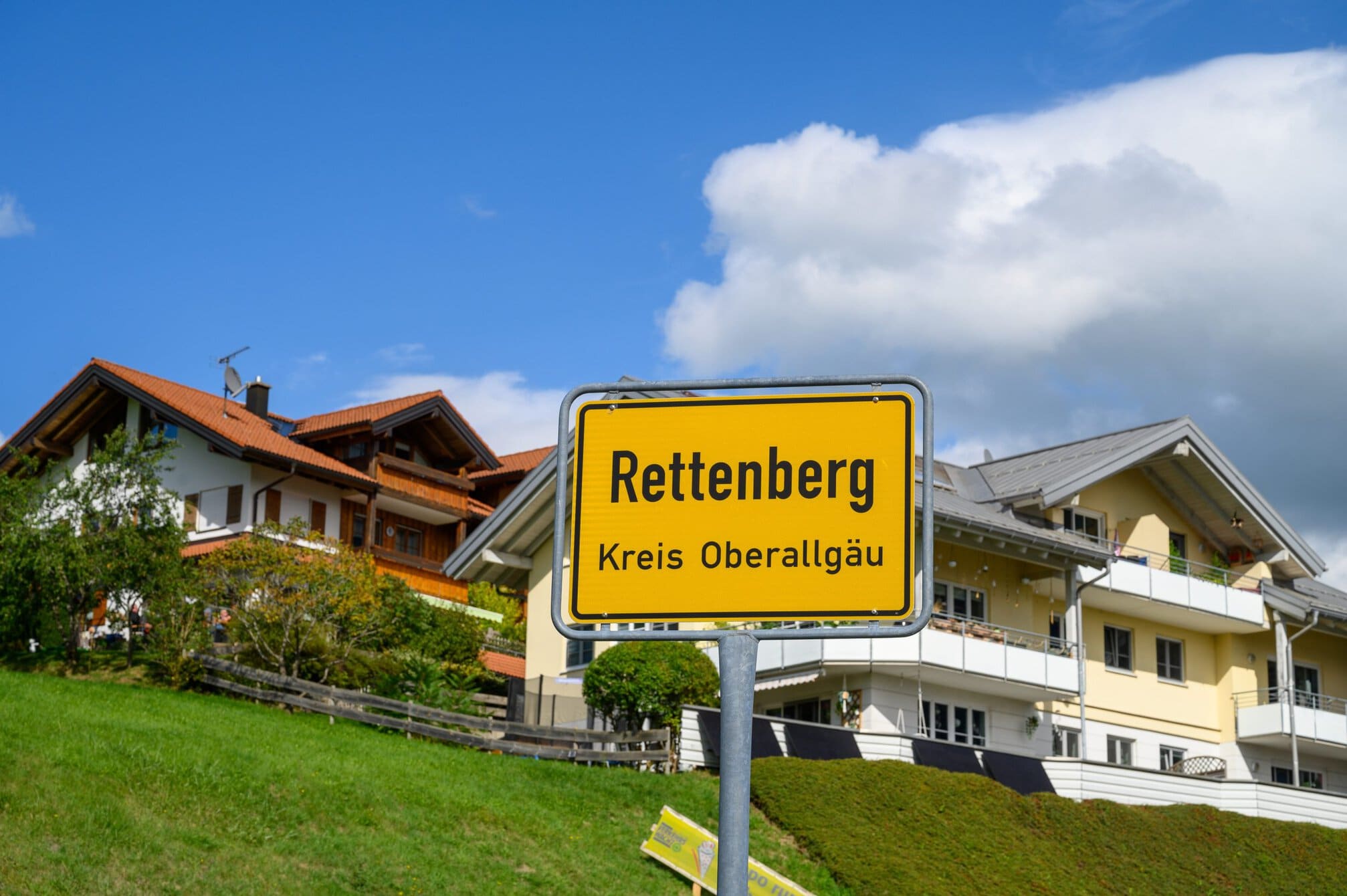
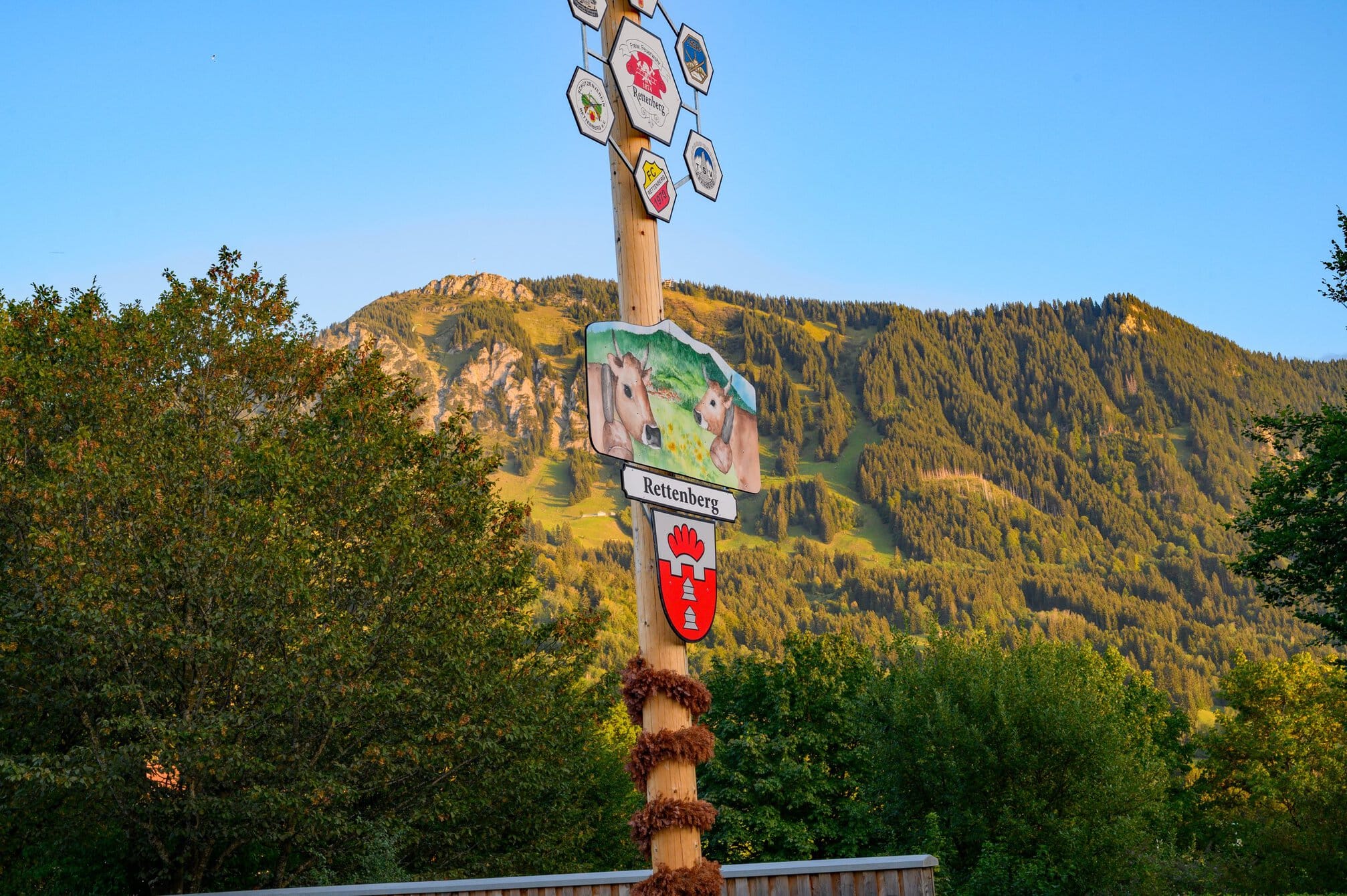
Todays destination, Rettenberg, sits at over 800m, 100m above the valley, so it today’s hike ended with a climb – always a killer at the end of the day. I missed a turn and ended up in a brewery loading lorries. The town has its own brewery in the centre of town. I later learnt that it has three privately owned breweries. Not bad for a town of 4.000 inhabitants.
I eventually found the place I was staying, dropped my stuff and walked around the small town. Every descent German town has a baker, and this was no exception, so I took a break for a coffee and cake.
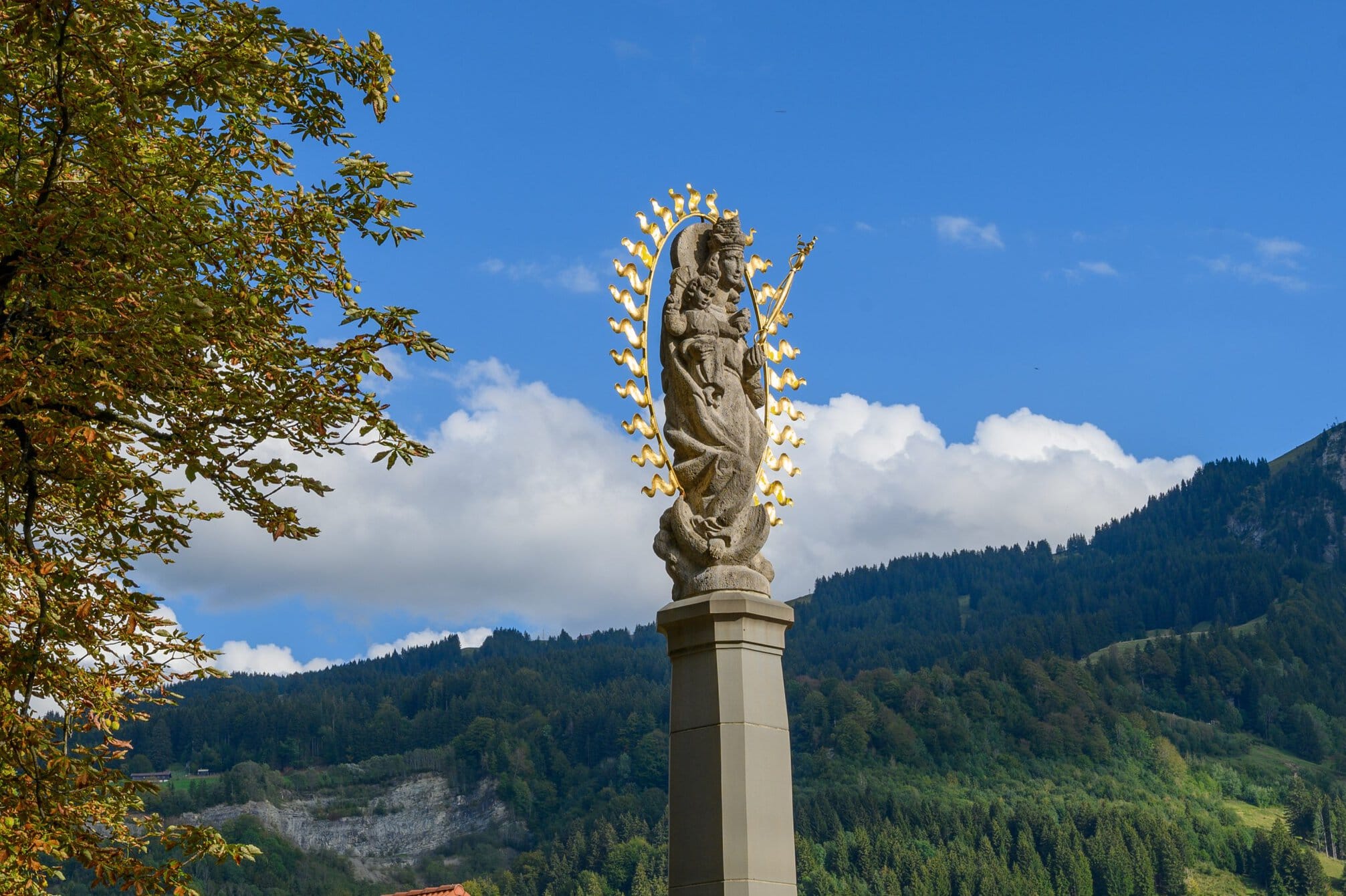
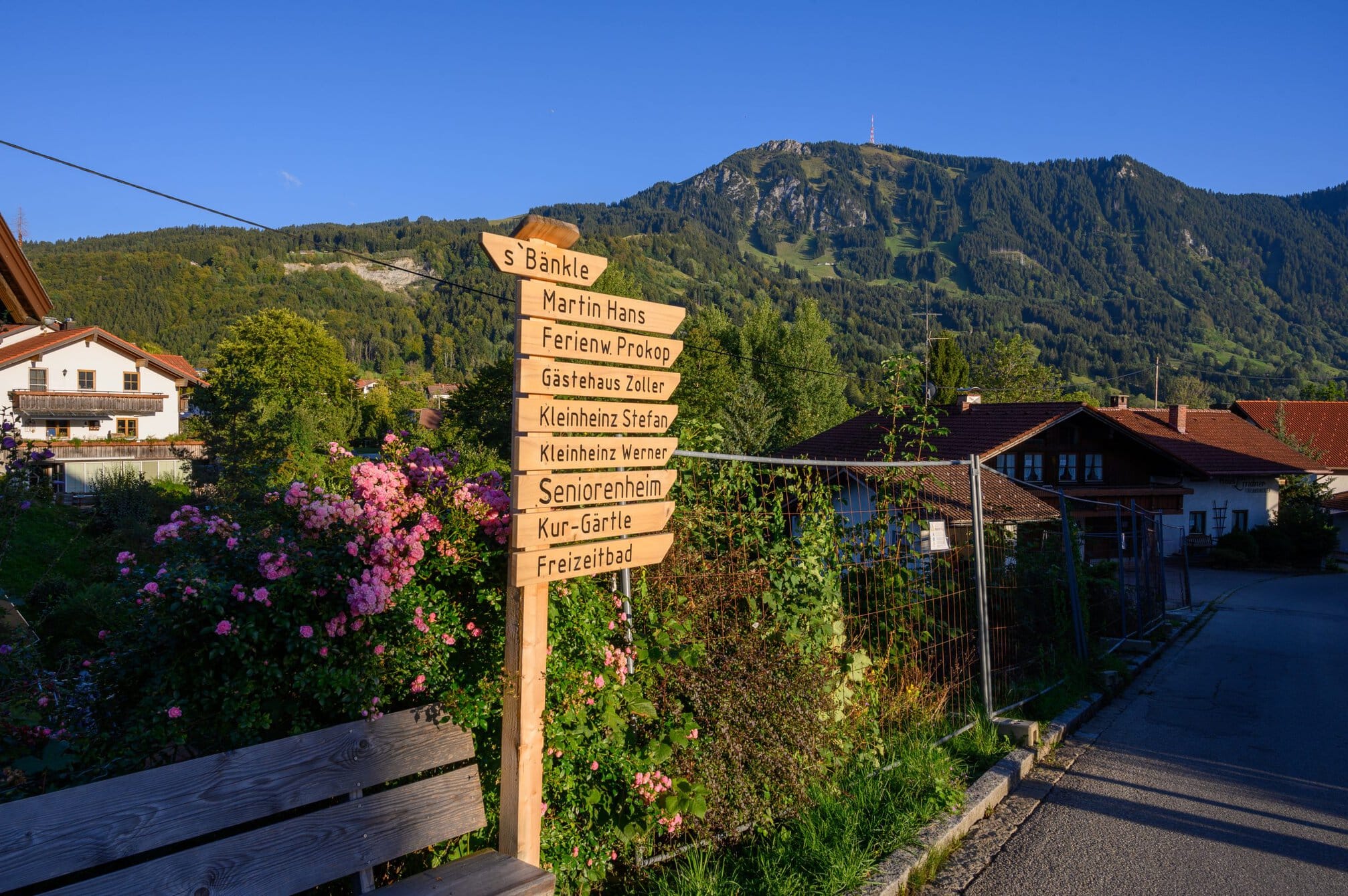
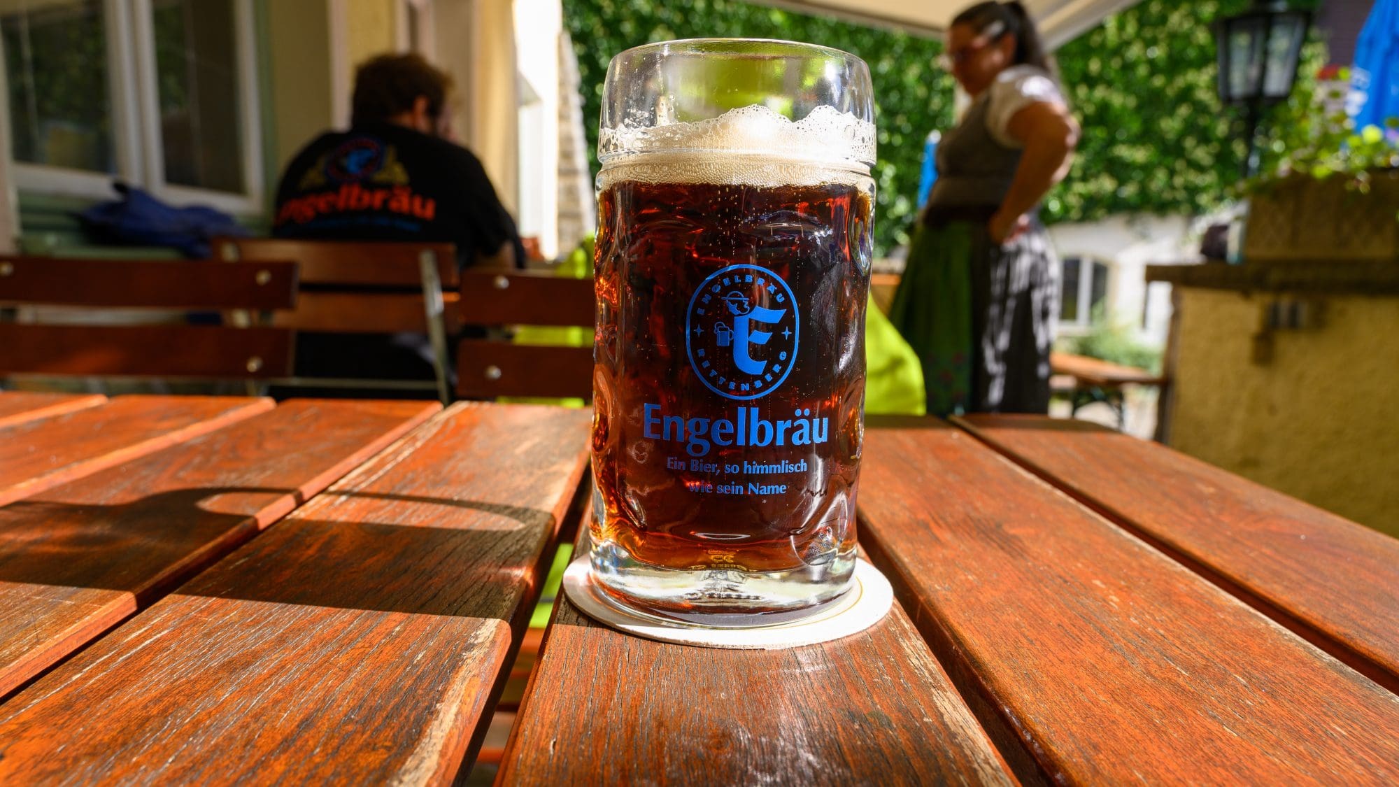
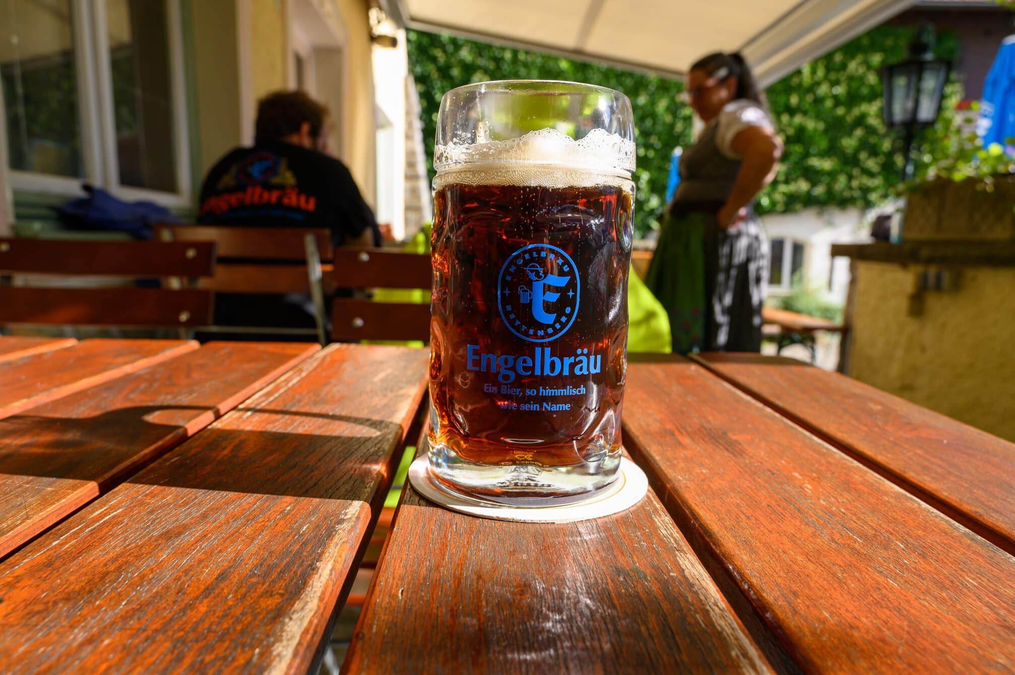
After I showered, I walked down the the Engelbrau brewery restaurant to sample their beer. The brewery is famous for brewing beer at the highest altitude in Germany, since 1668 – and its tag line – Angel brew, a beer so heavenly, just like it’s name!
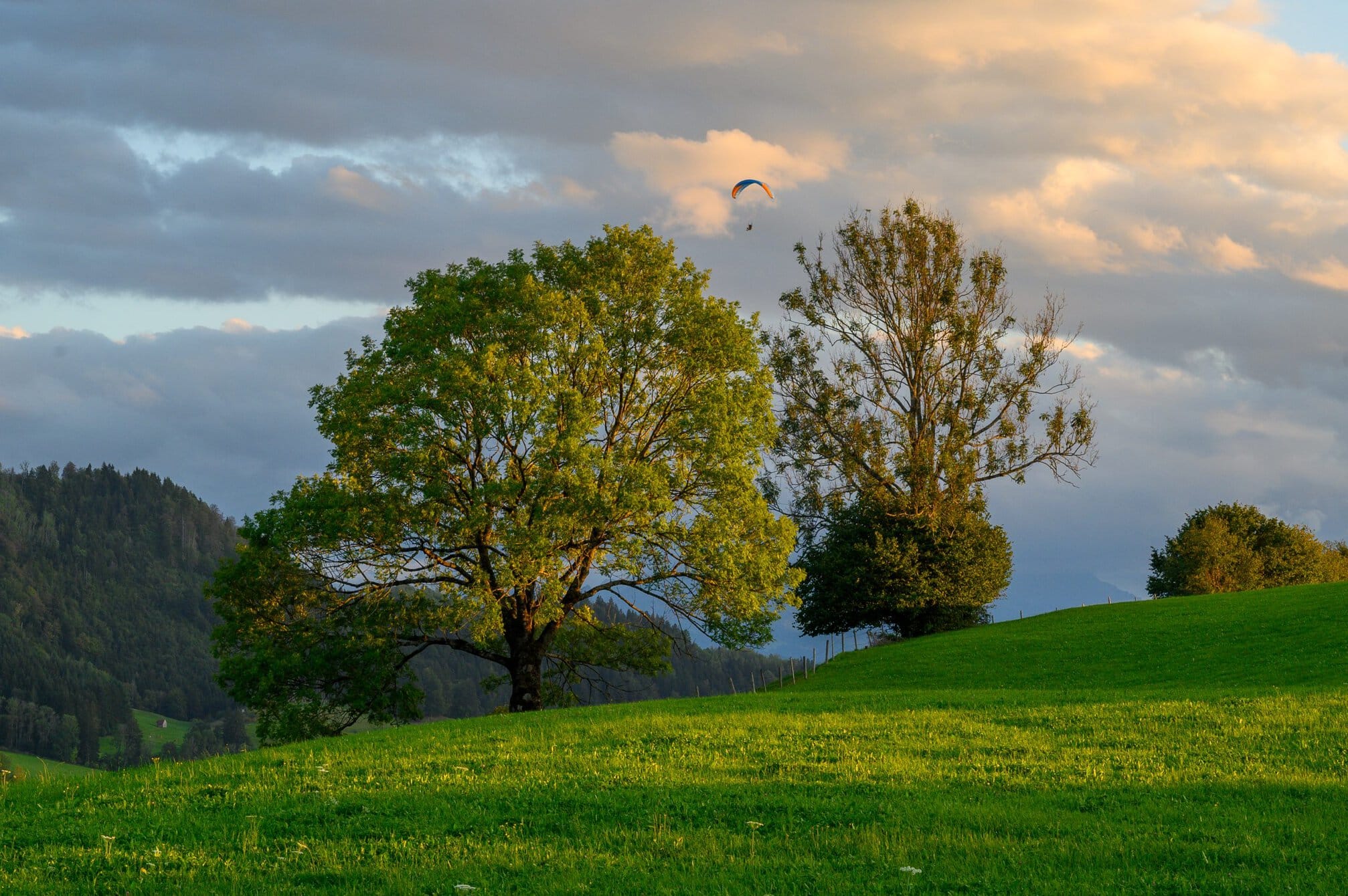
After a grey start to the day, it was a beautiful evening and I walked around the small town watching paragliders glide down from the surrounding mountains.
Not as spectacular as yesterday’s walk, but still an eventful day with the cows, lakes and a good beer to wrap up the day.