

Thankfully I sleep with earplugs. Therefore, I didn’t hear most of the thunder claps during the night. But one of them was so loud that the hotel shook. And it wasn’t only me that felt it, the Australian couple I spoke with at breakfast had also felt it. They had planned to walk up to Grand Saint Bernard Pass today, but were concerned about how wet it would be, and were considering the bus. As I had walked down yesterday, they asked whether I would have walked up today, to which I answered I would. I met them as I was leaving, and they had decided to walk.
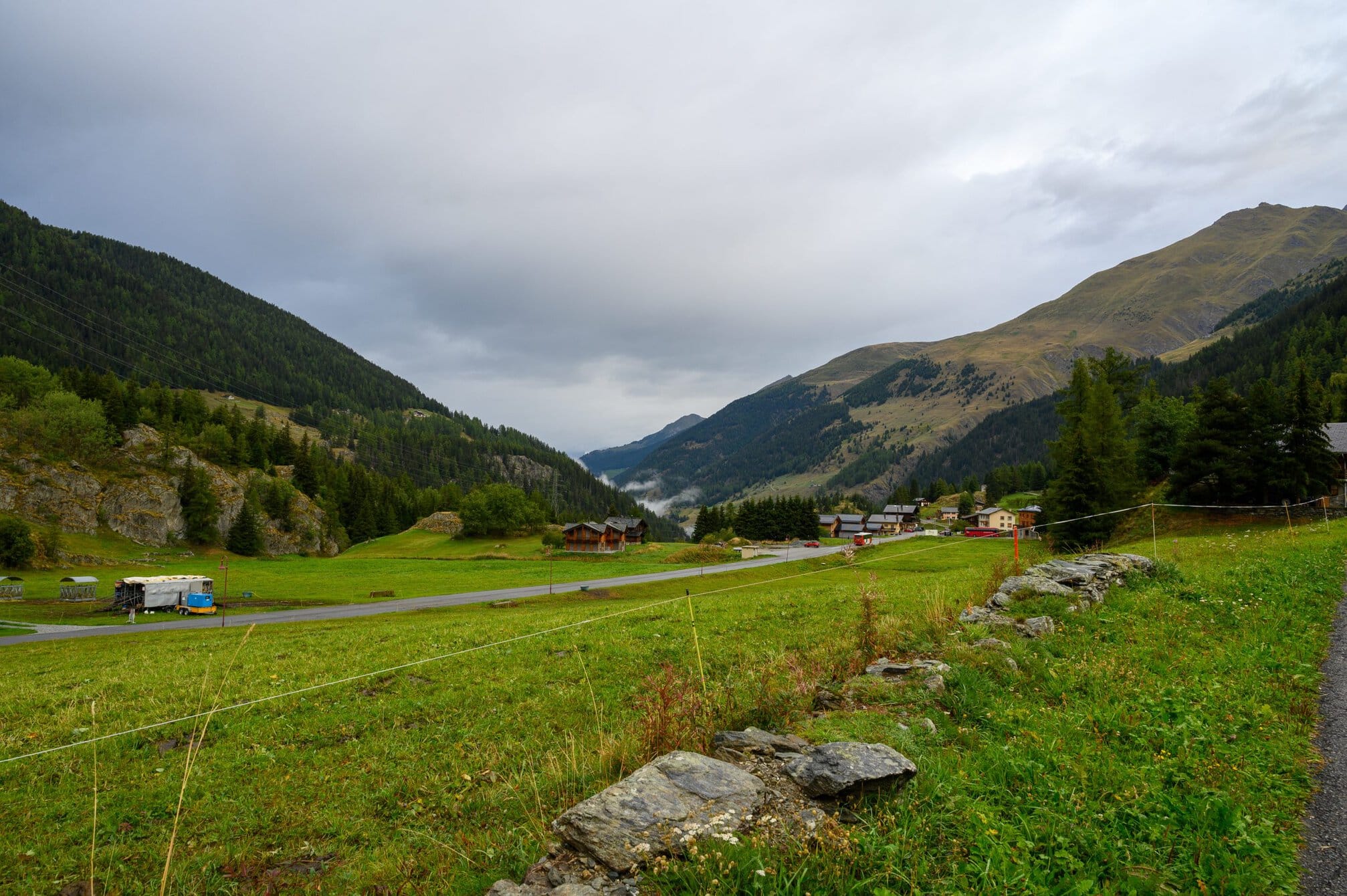
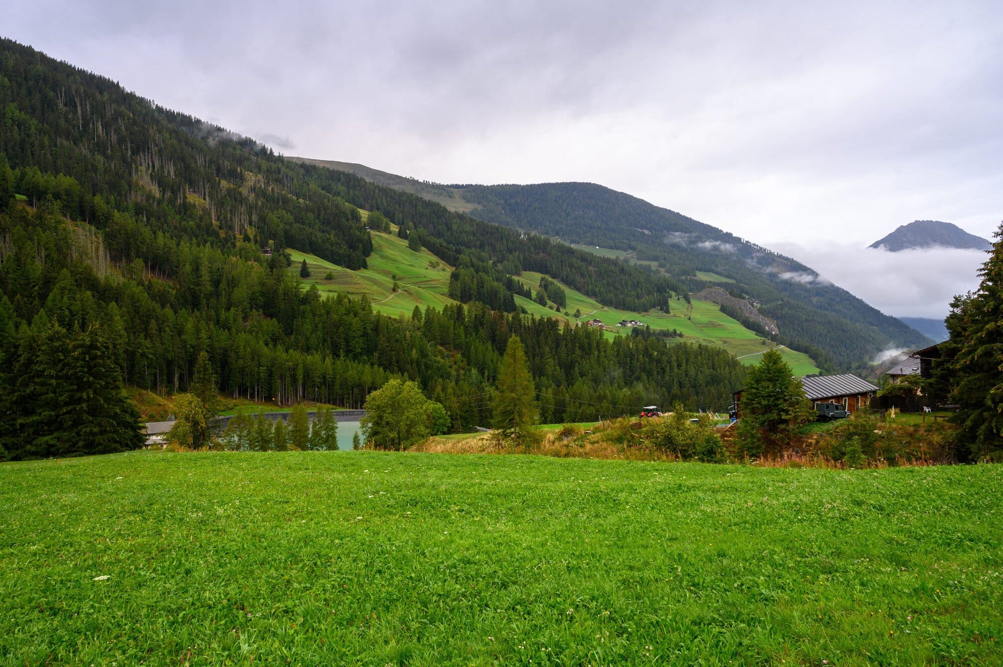
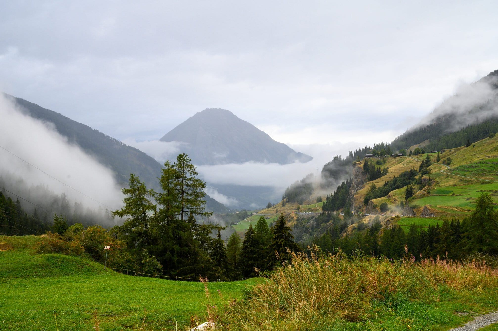
It wasn’t actually raining as I left, but the low lying cloud made it feel like it was. So for the first time on this trip I used my rain clothes – rain pants rolled up over the knee, cape covering me and my backpack and my seldom used Gore-tex shoes. Not a great day for photos.
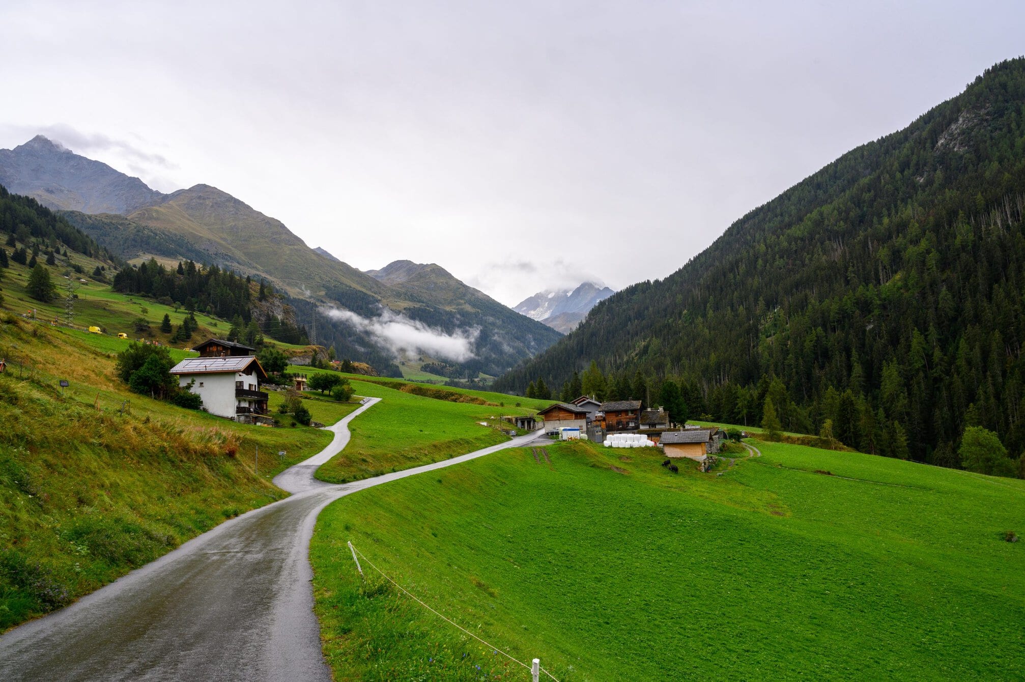
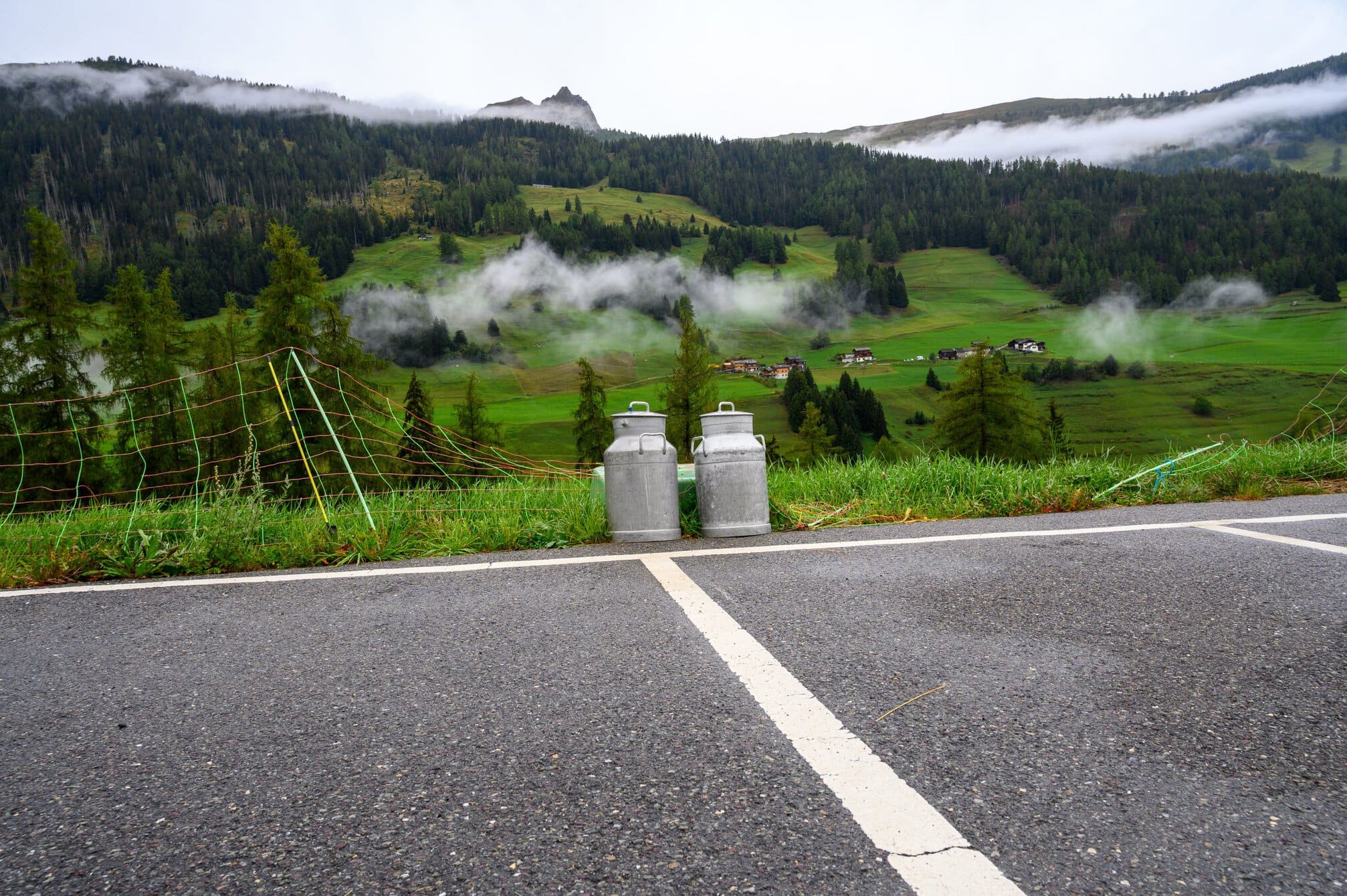
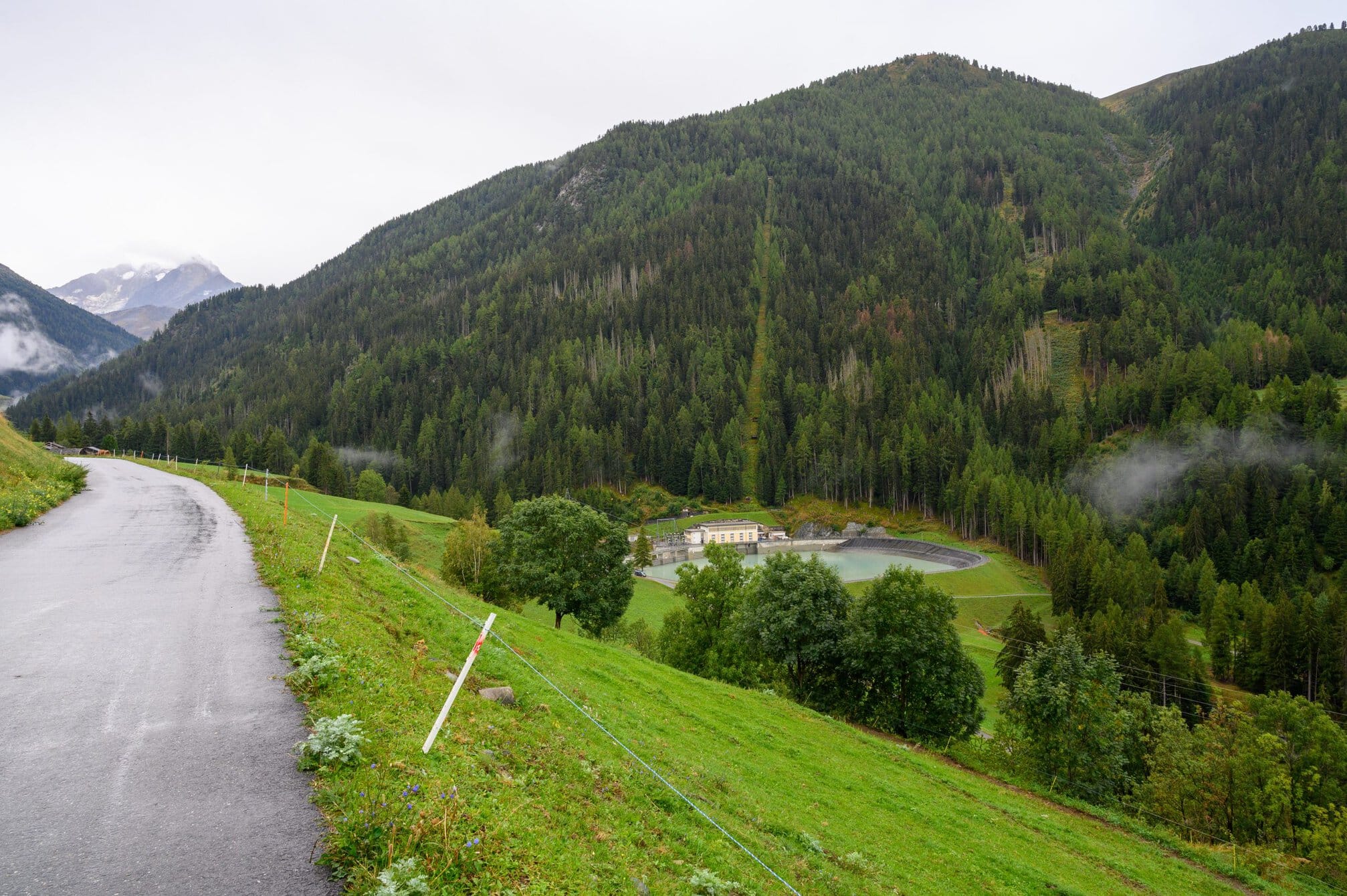
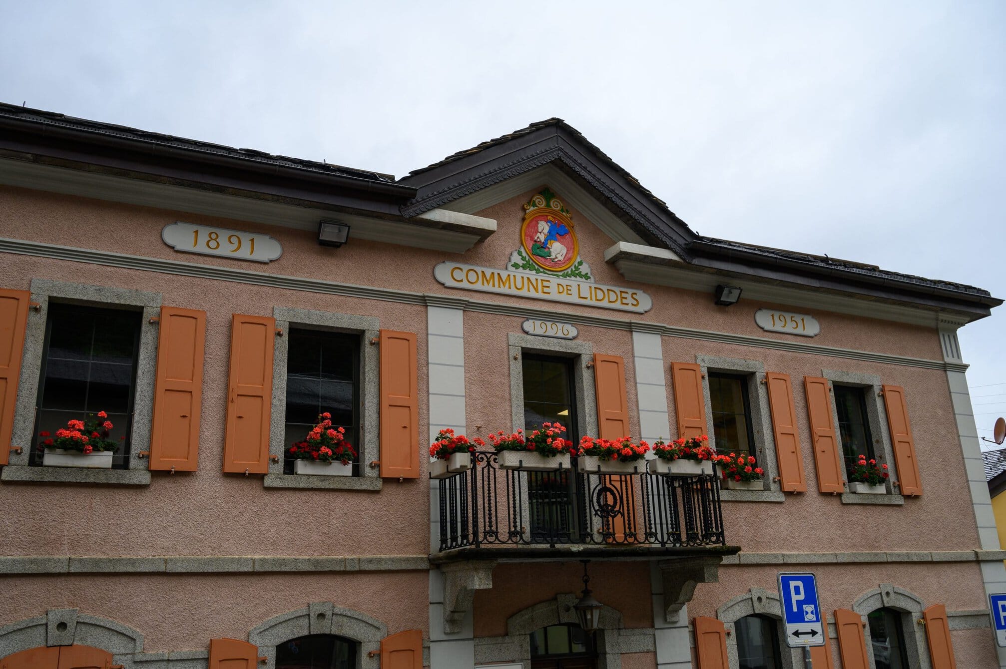
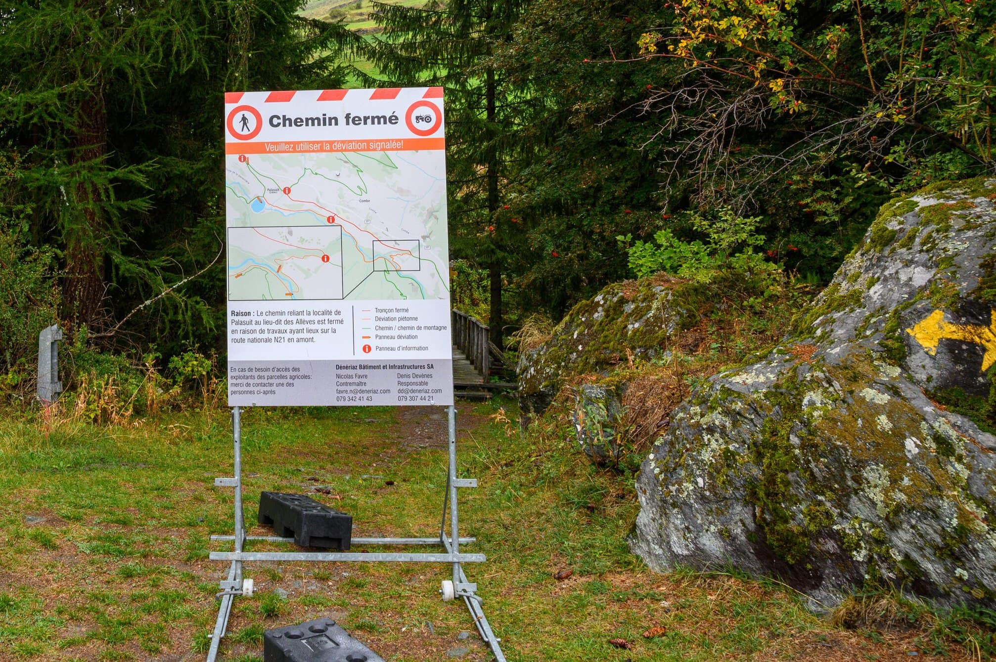
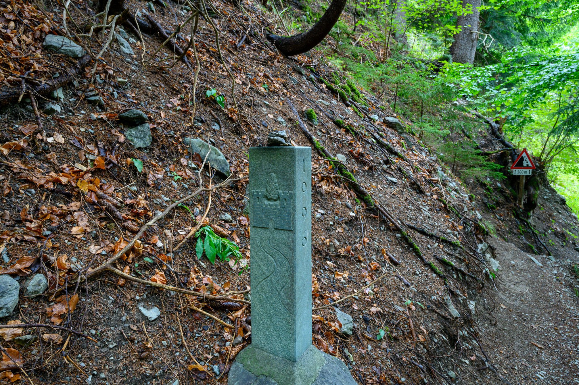
It was a pleasant walk primarily along dirt paths and mostly downhill, although there were some not insignificant climbs. There were signs for a detour which I followed. It turned out that the signage for people walking to Rome was better than that for me walking north. I was soon back on the path they didn’t want people walking. It didn’t seem to make any difference.
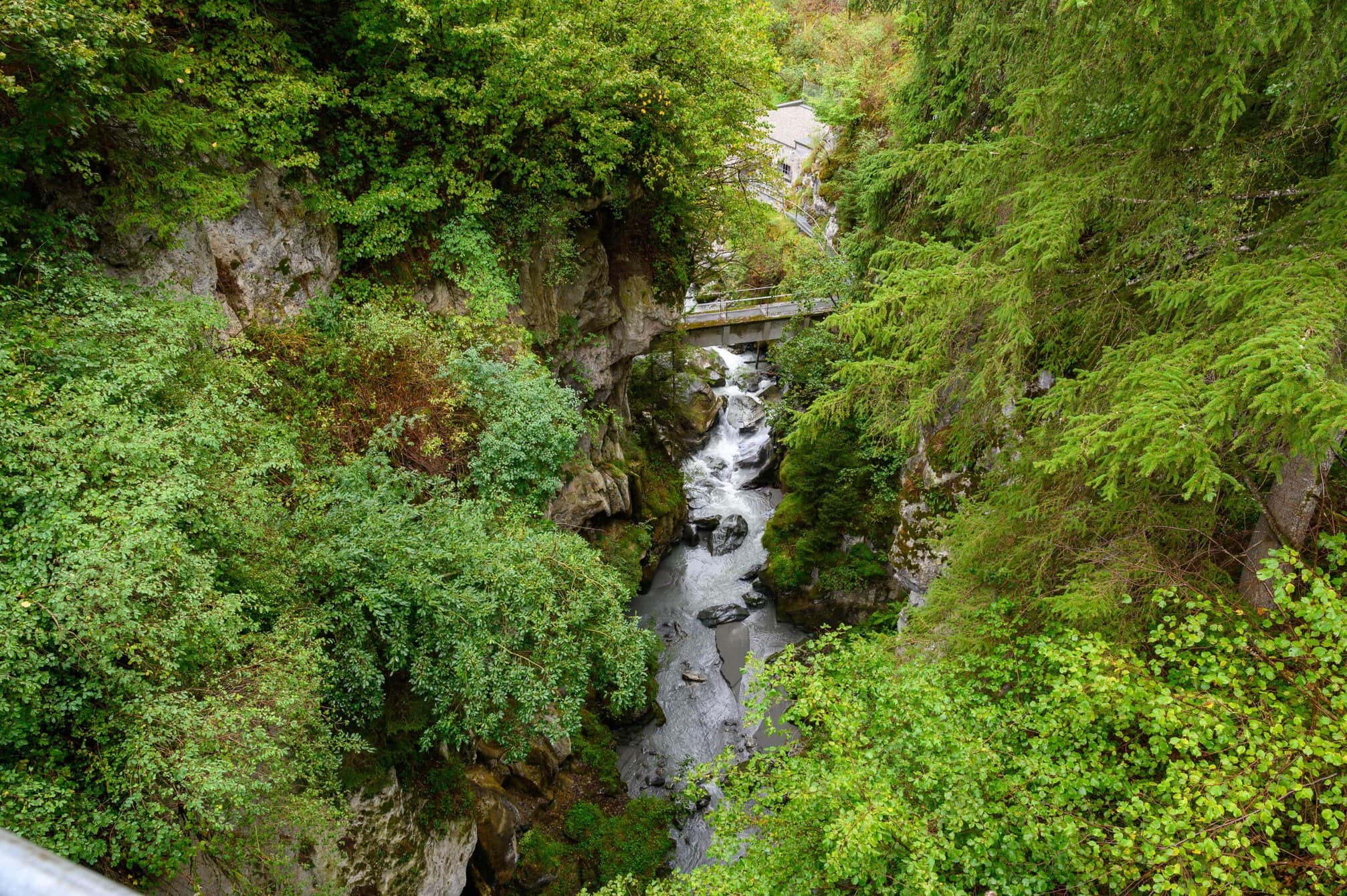
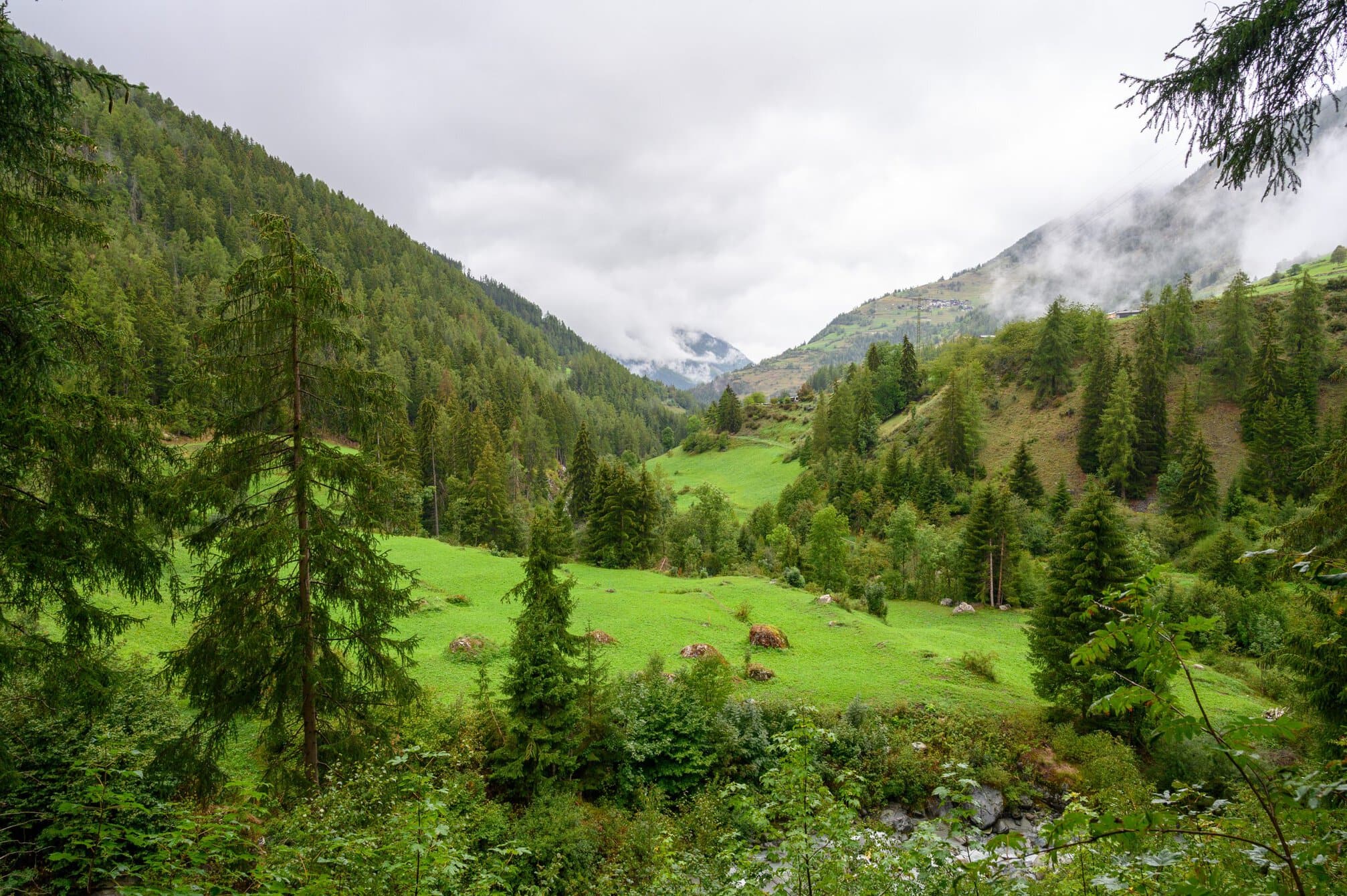
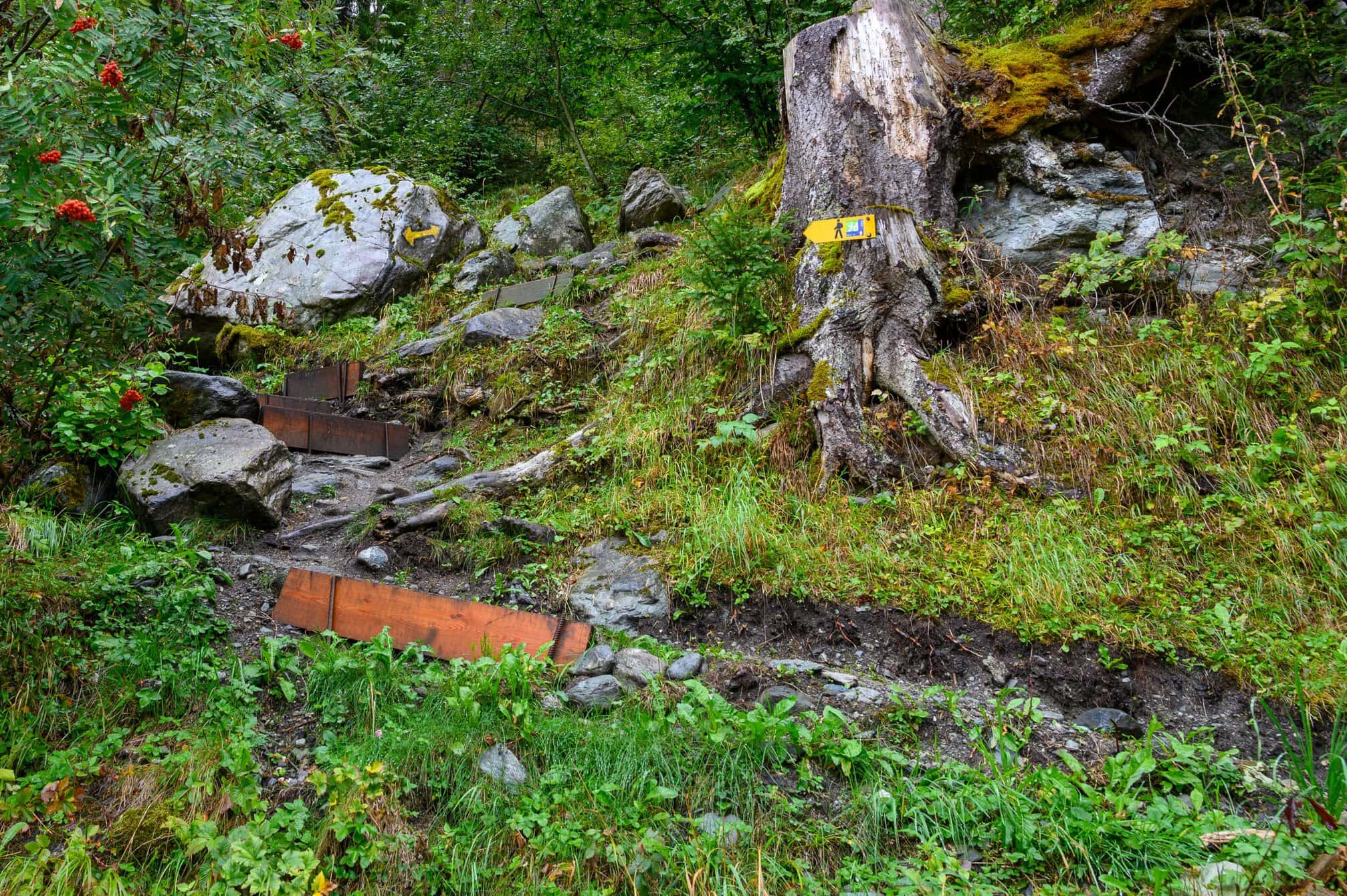
Again today it was largely views of the surrounding mountains and green valleys. Shortly after the village of Liddes, I met the first walkers walking towards me. They had stayed in Ourieres. There was a steady stream of 15-20, including a group of 6 men who had already opened the beer – it was 10am.
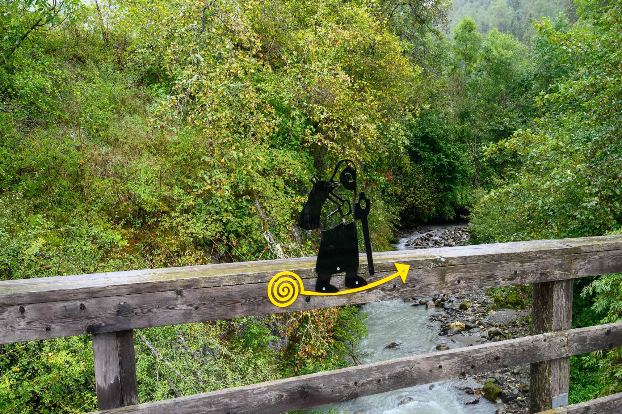
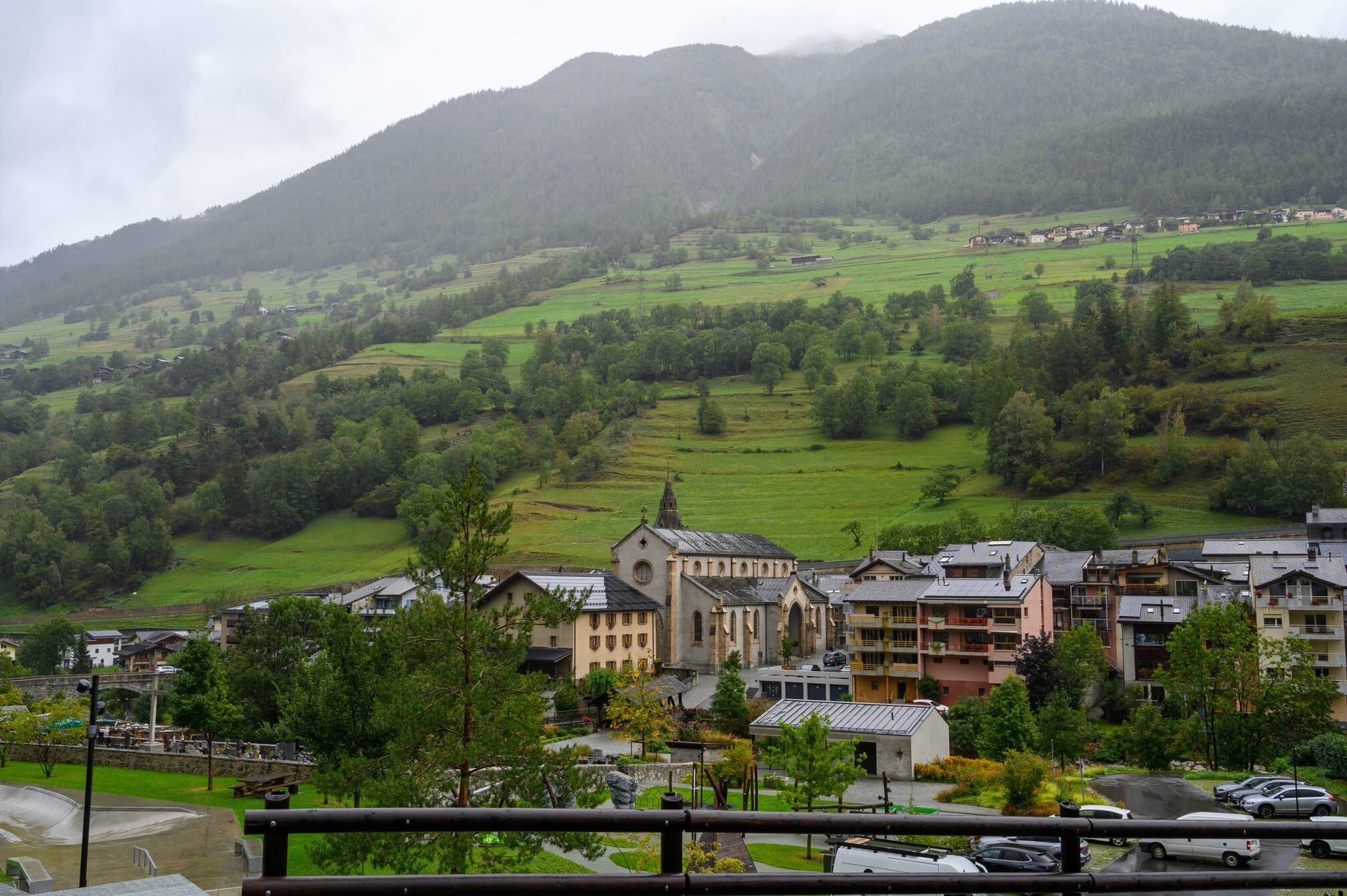
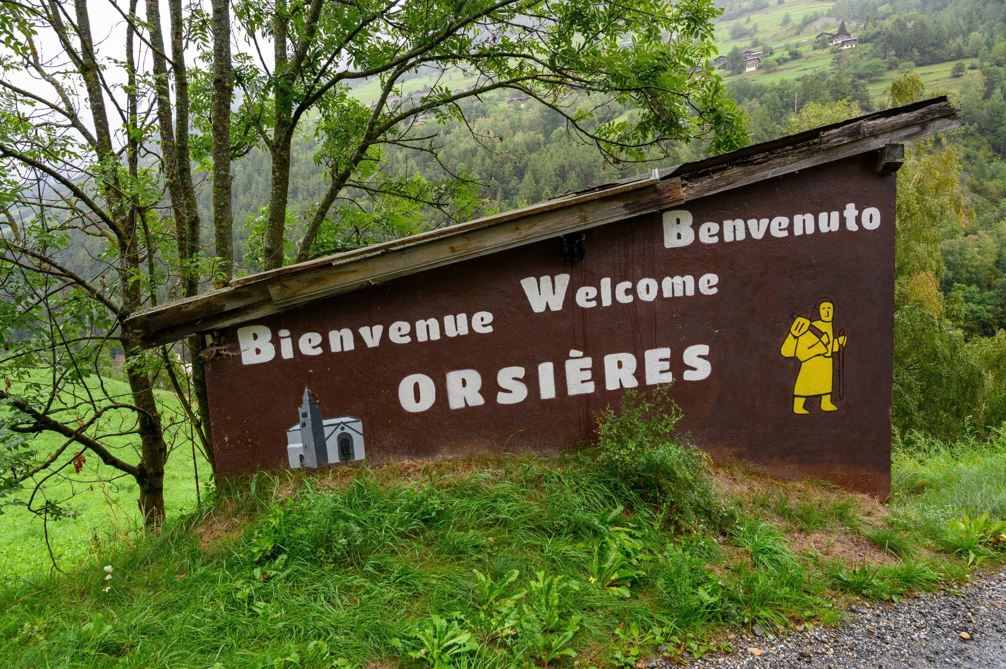
The rain intensity increased as I walked downhill towards Orsières, through a forest following a small stream. I missed a turn when I was almost knocked down by a car, unexpected on a small dirt track, appearing from around a corner. The missed turn took me up a steep hill, which I had to then walk down again.
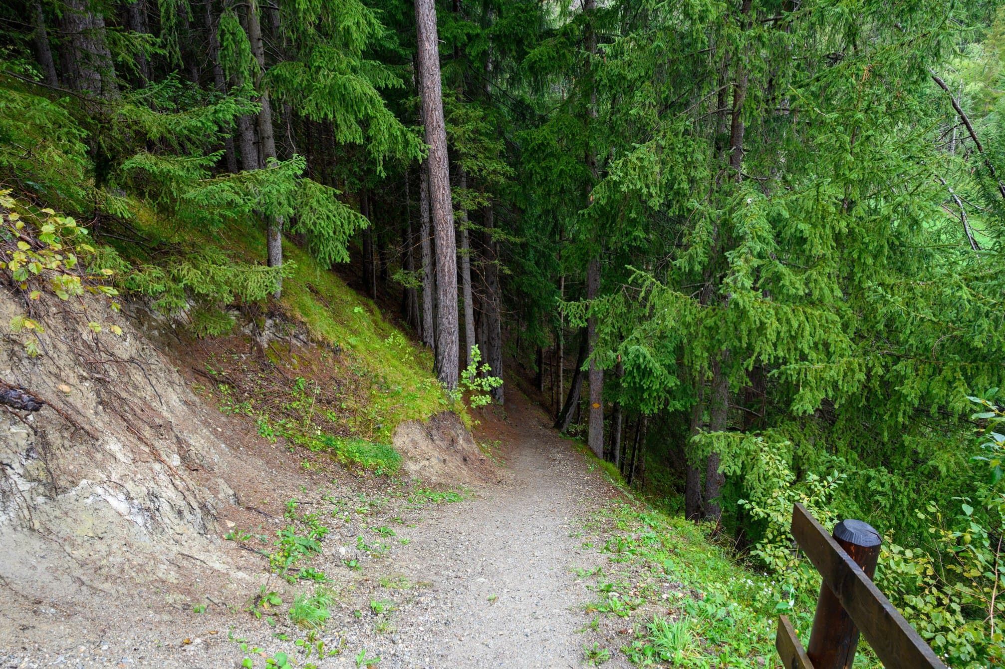
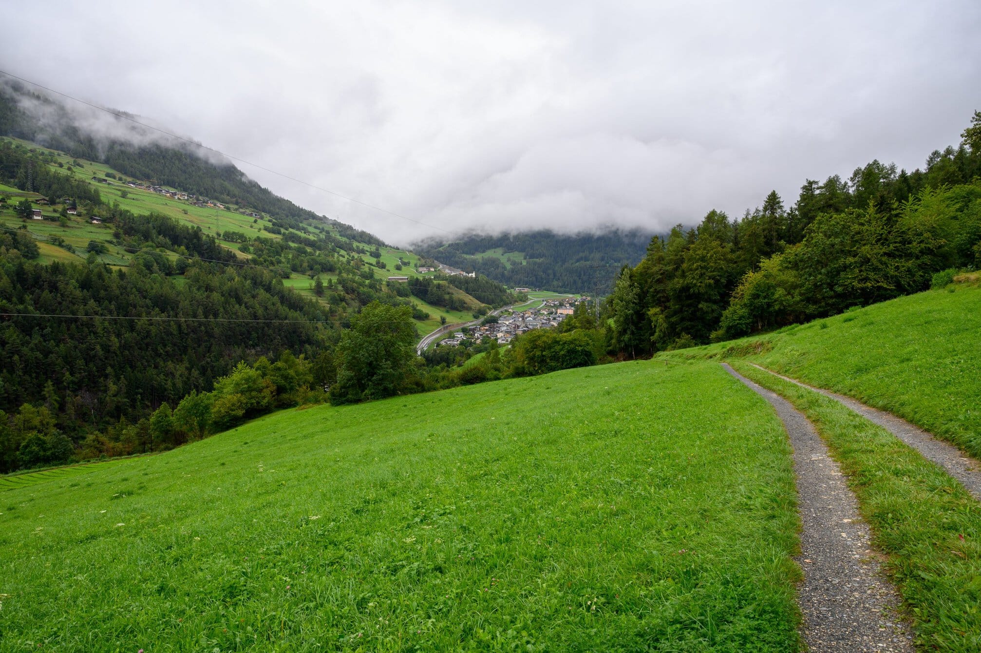
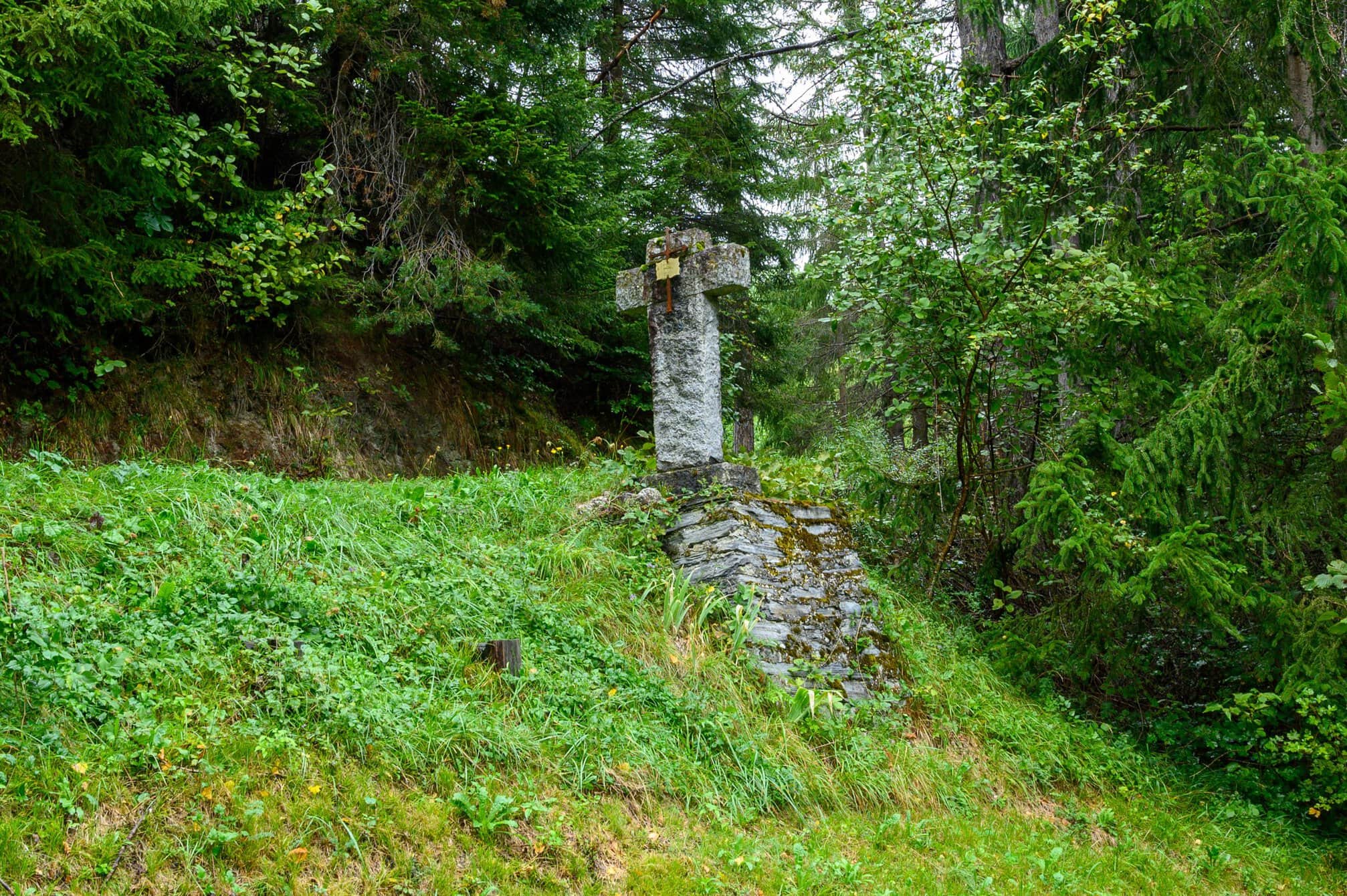
I arrived in Orsières at 11.30. Orsières to Bourg-Saint-Pierre is the official stage – probably harder for those walking uphill than me walking downhill. I stopped for a coffee, bought some lunch and changed into dry socks, as the rain, that had been fairly heavy at times during the morning, had all but stopped. I spoke to an English couple who were camping, they had booked into a hotel as all their gear was drenched after the rain that came with the thunder.
I left Orsières at exactly 12 o’clock, heading for Martigny, 5hrs and 10mins away according to the signage. It was back in the open countryside on small paths as I walked towards Sembacher.
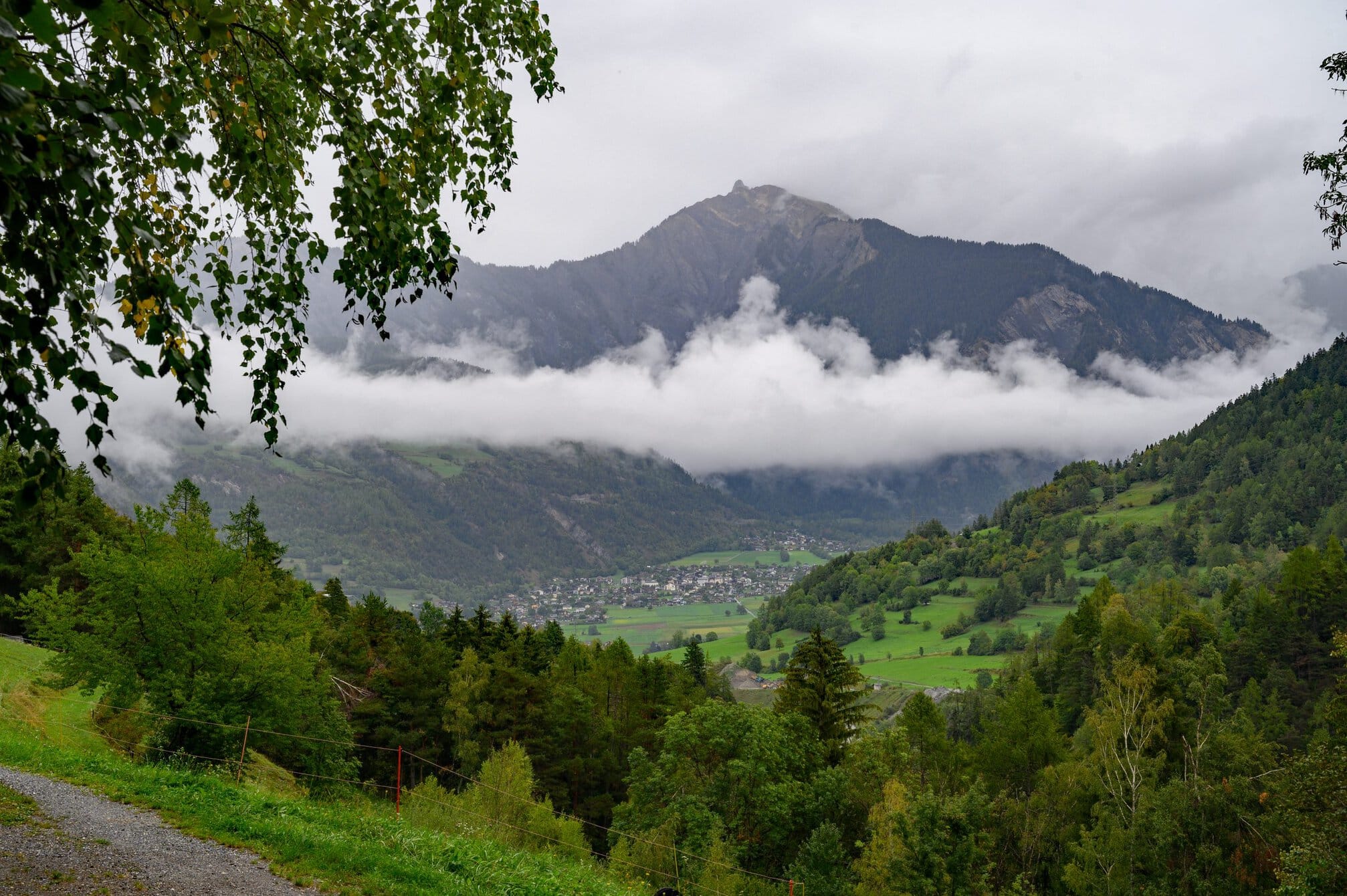
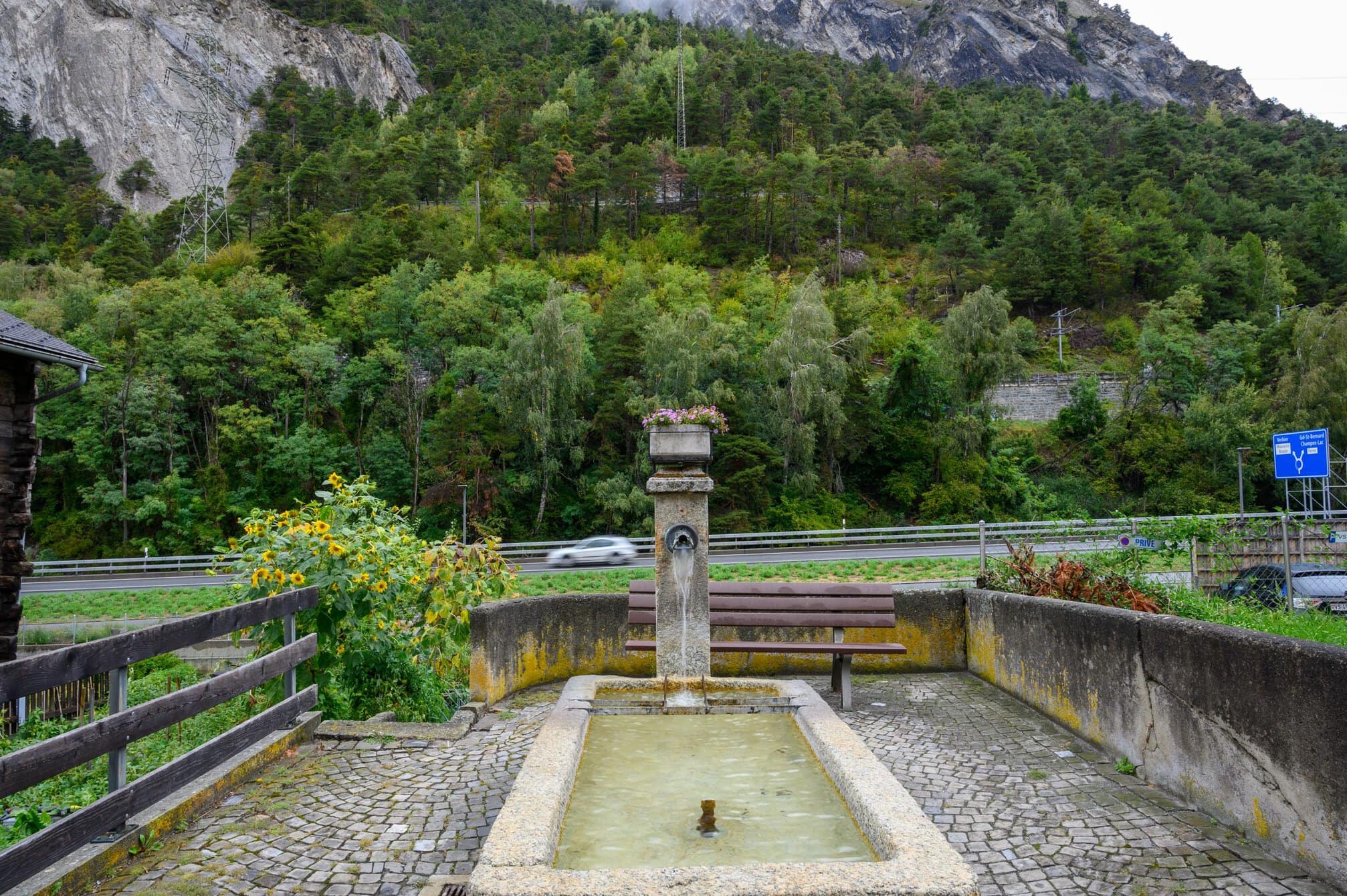
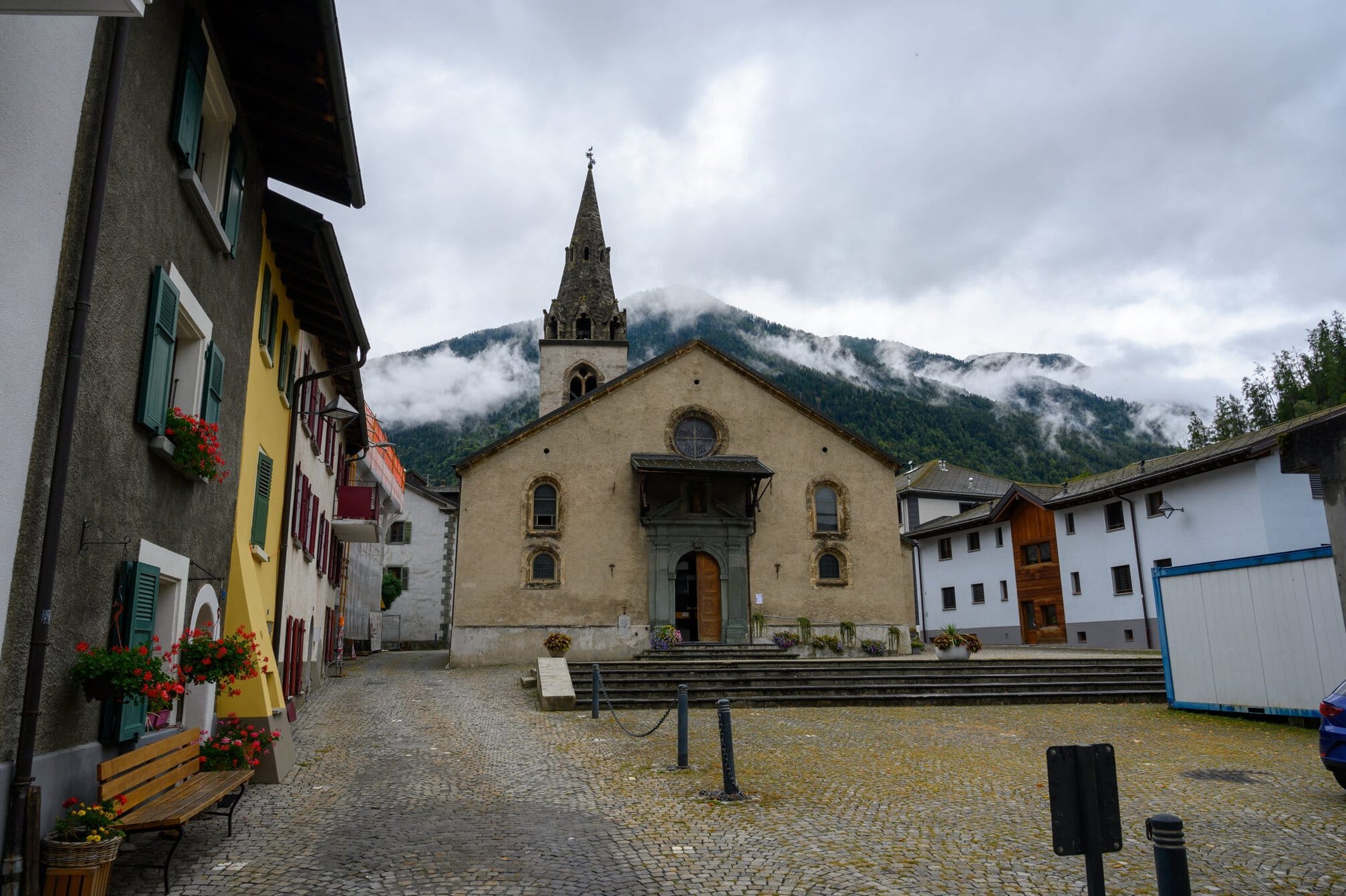
It wasn’t long before I met the first people walking from Martigny to Orsières. I met about 10 people all told after leaving Orsières, the last of them, Roger, 2,5 hours after the first. Roger from Devon, was walking parts of the Via Francigena that he hadn’t walked earlier, and drawing scenes from his trip.
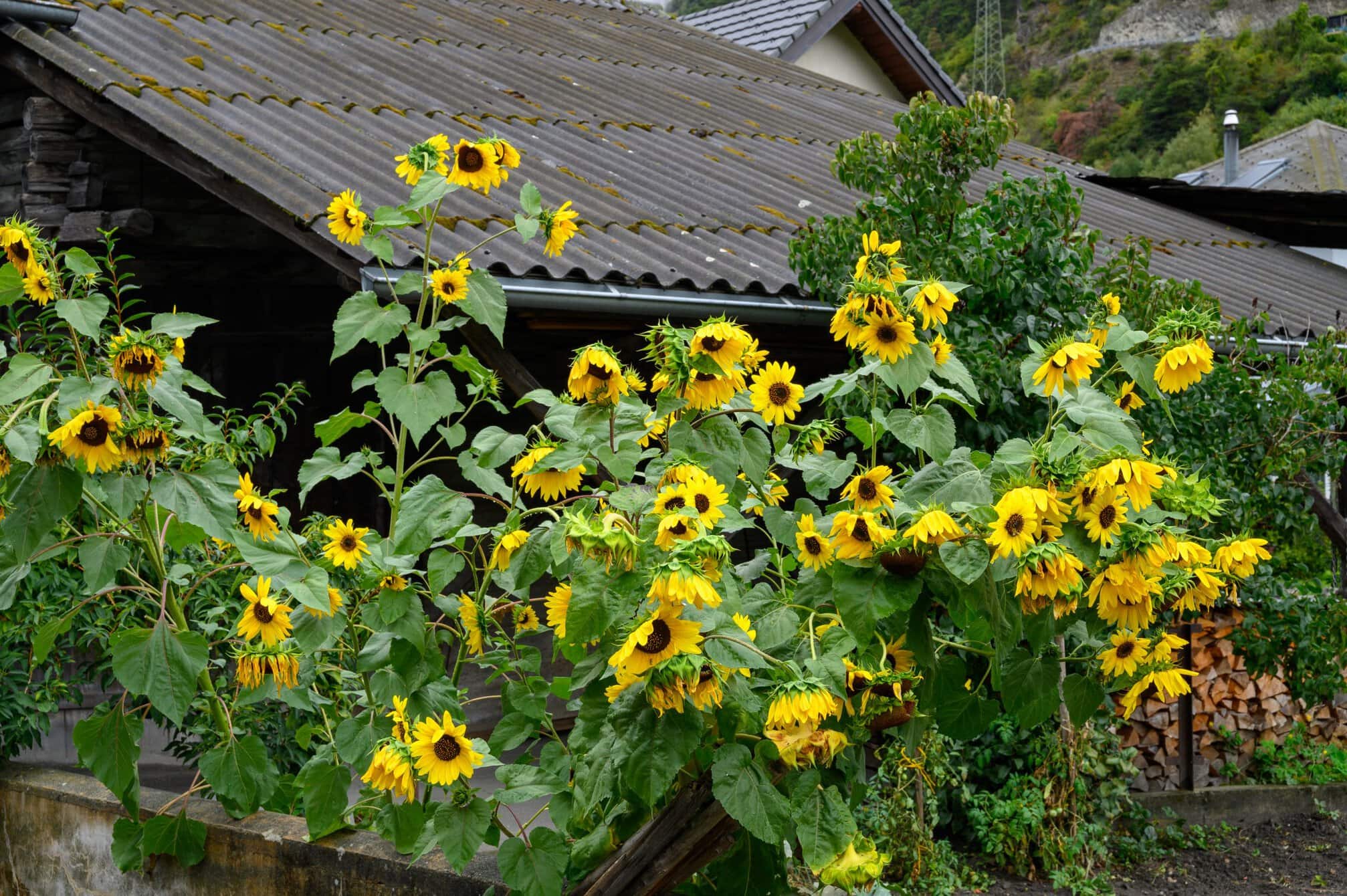
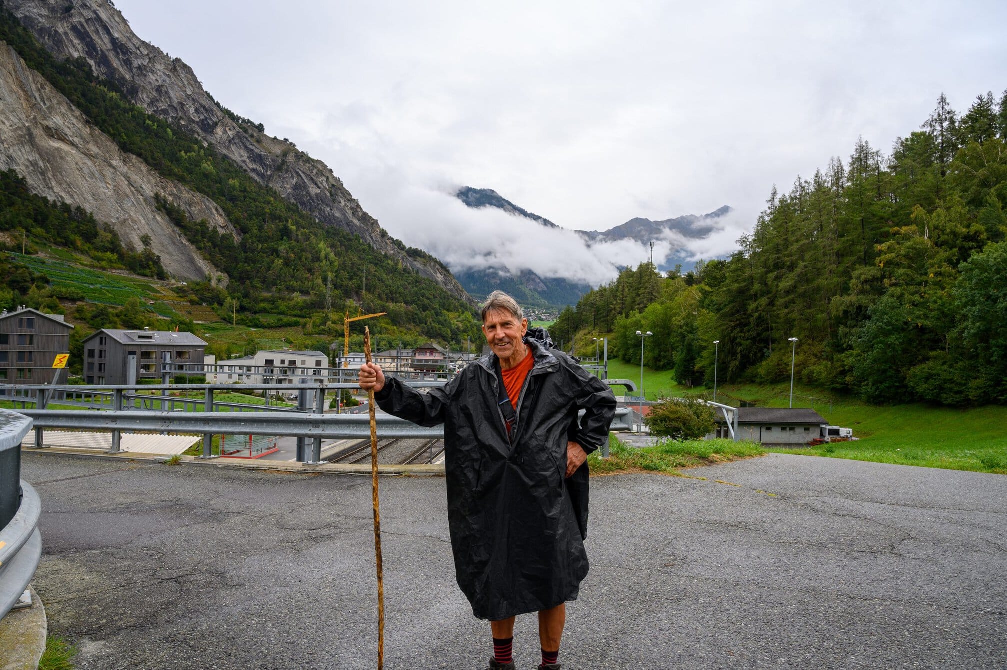
I met Roger just after Sembacher, where I’d sat at the station and eaten my lunch. I had considered the option of taking the train from here if the weather was bad, returning tomorrow to continue when I have a shorter day. I had decided to continue and even the sun was peeping out through the clouds.
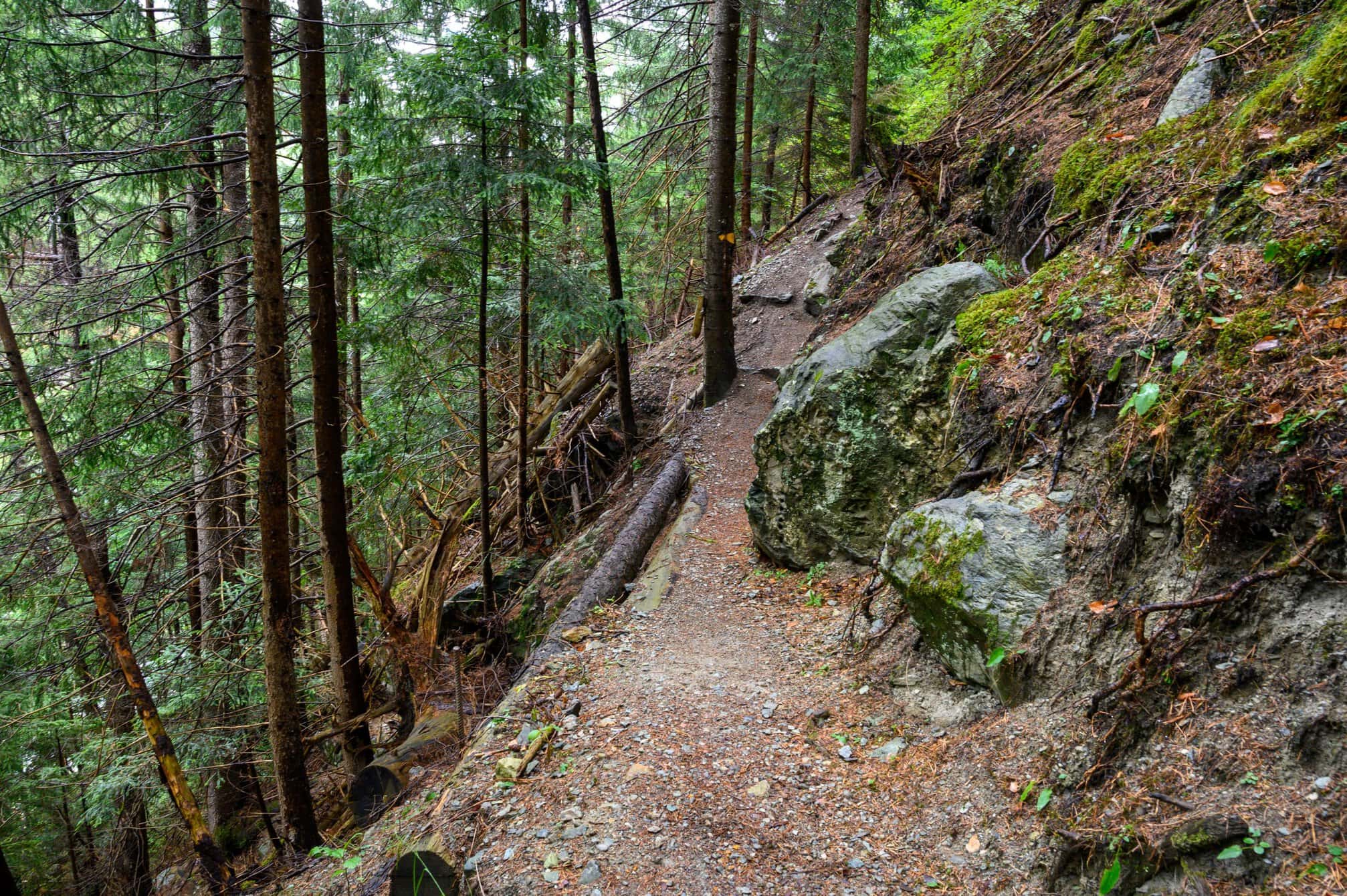
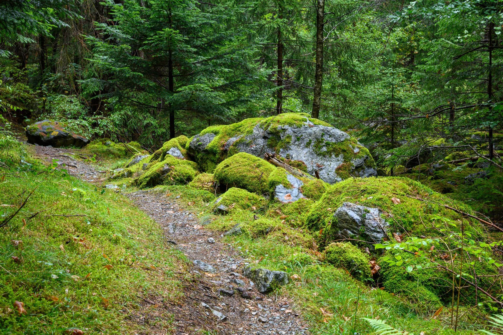
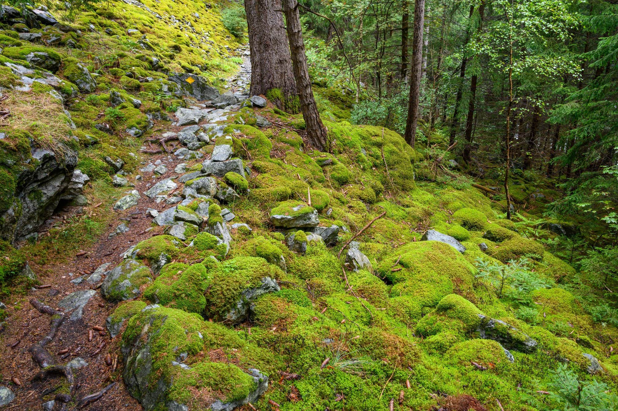
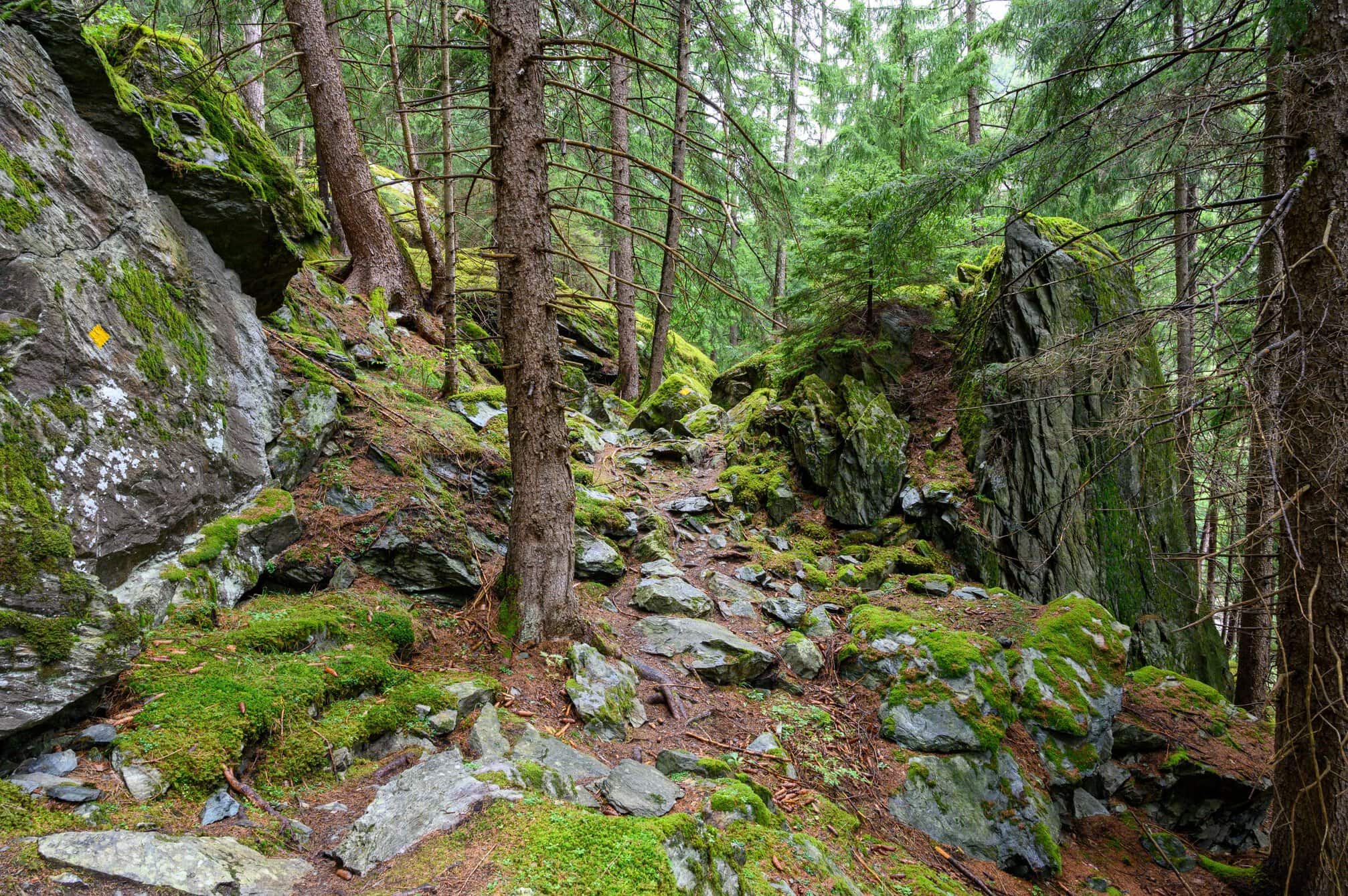
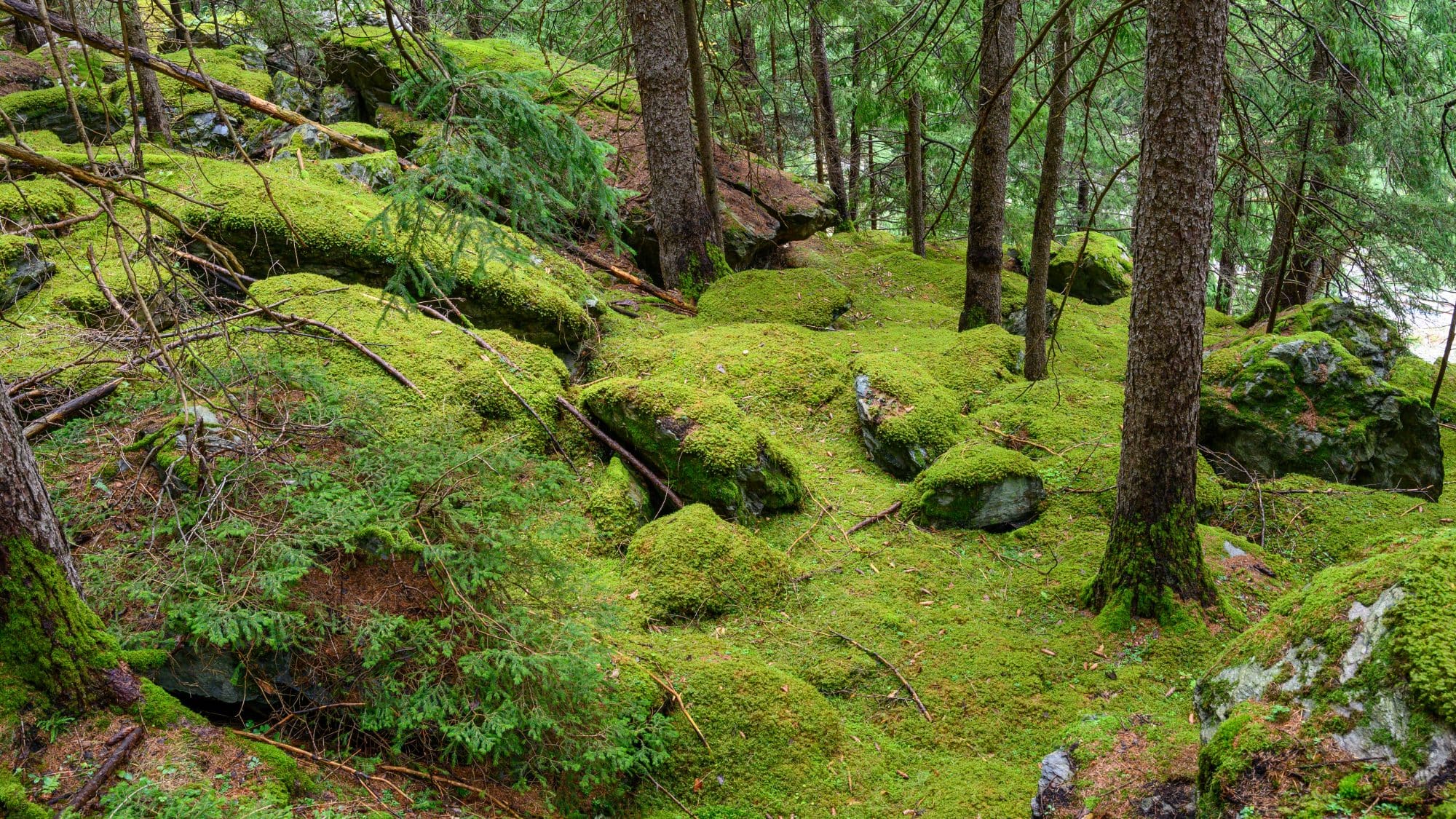
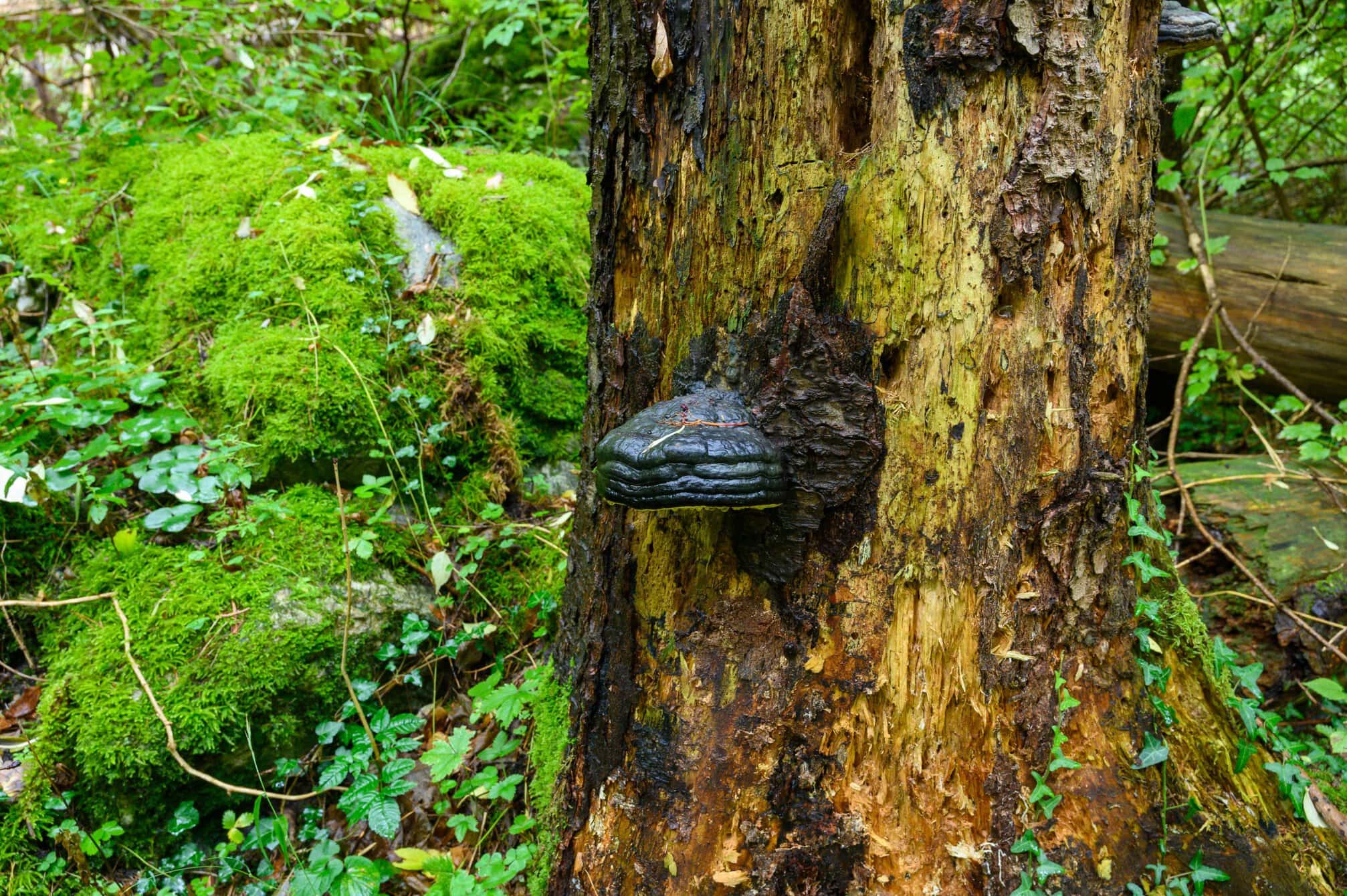
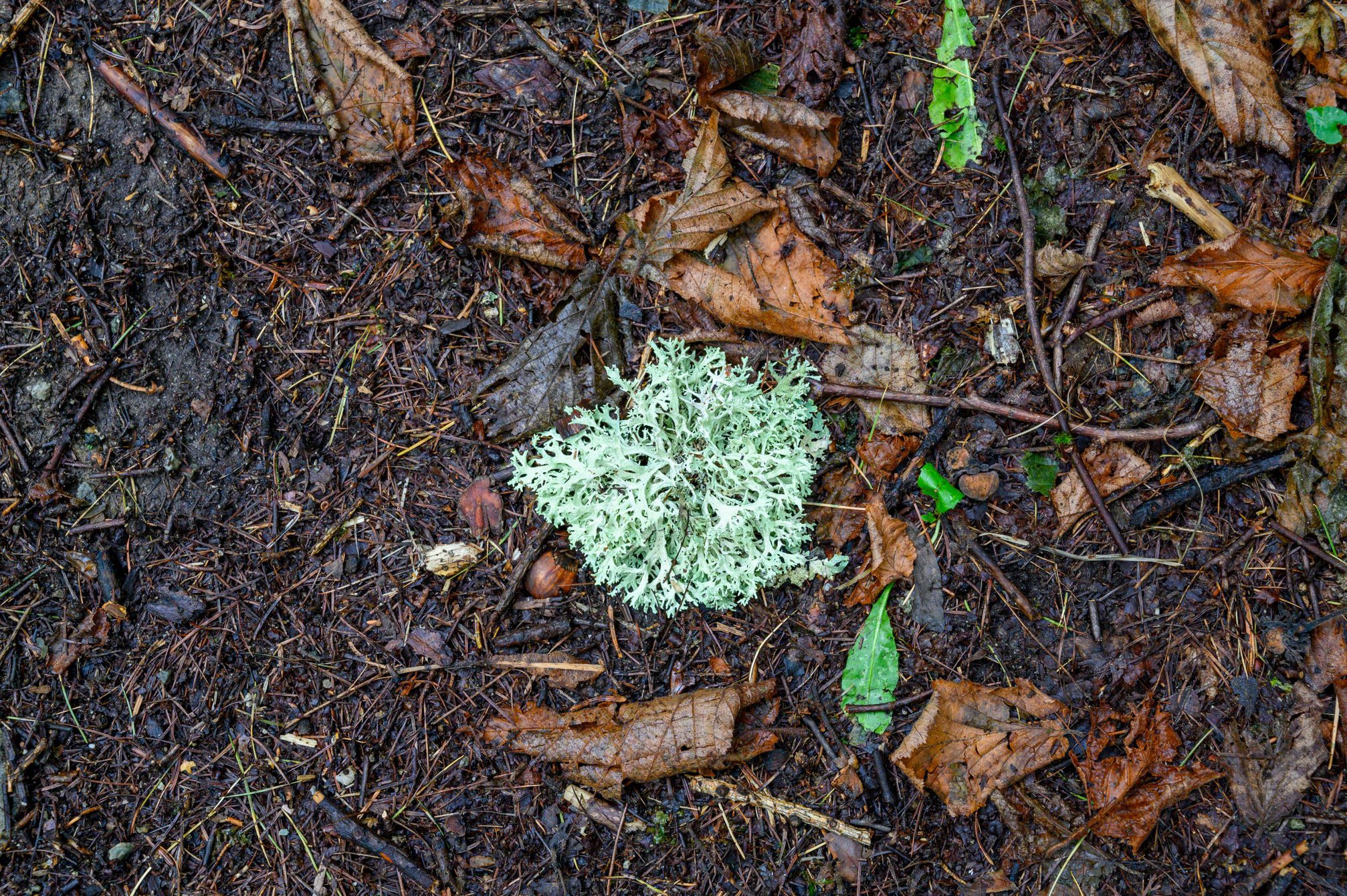
After saying goodbye, with the warning of a rocky path ahead, I continued through a forest. At one point there were was no path, just moss covered rocks in all shapes and sizes. It was as though thousands of rocks had been thrown down the mountain side and moss had now covered them. It was a truly remarkable and beautiful sight, which reminded me of my walks in Japan. I needed to tread carefully. It was slippery after the rain, and not the place to fall. I used my hands to steady myself on several occasions. At one of the larger rocks, somebody had wedged a stick so it looked like it was stopping the rock from falling. The whole area was enchanting.
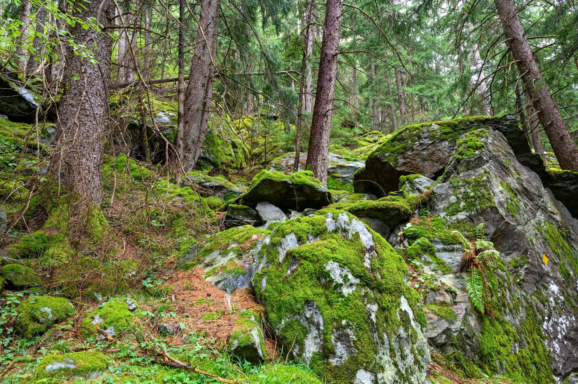
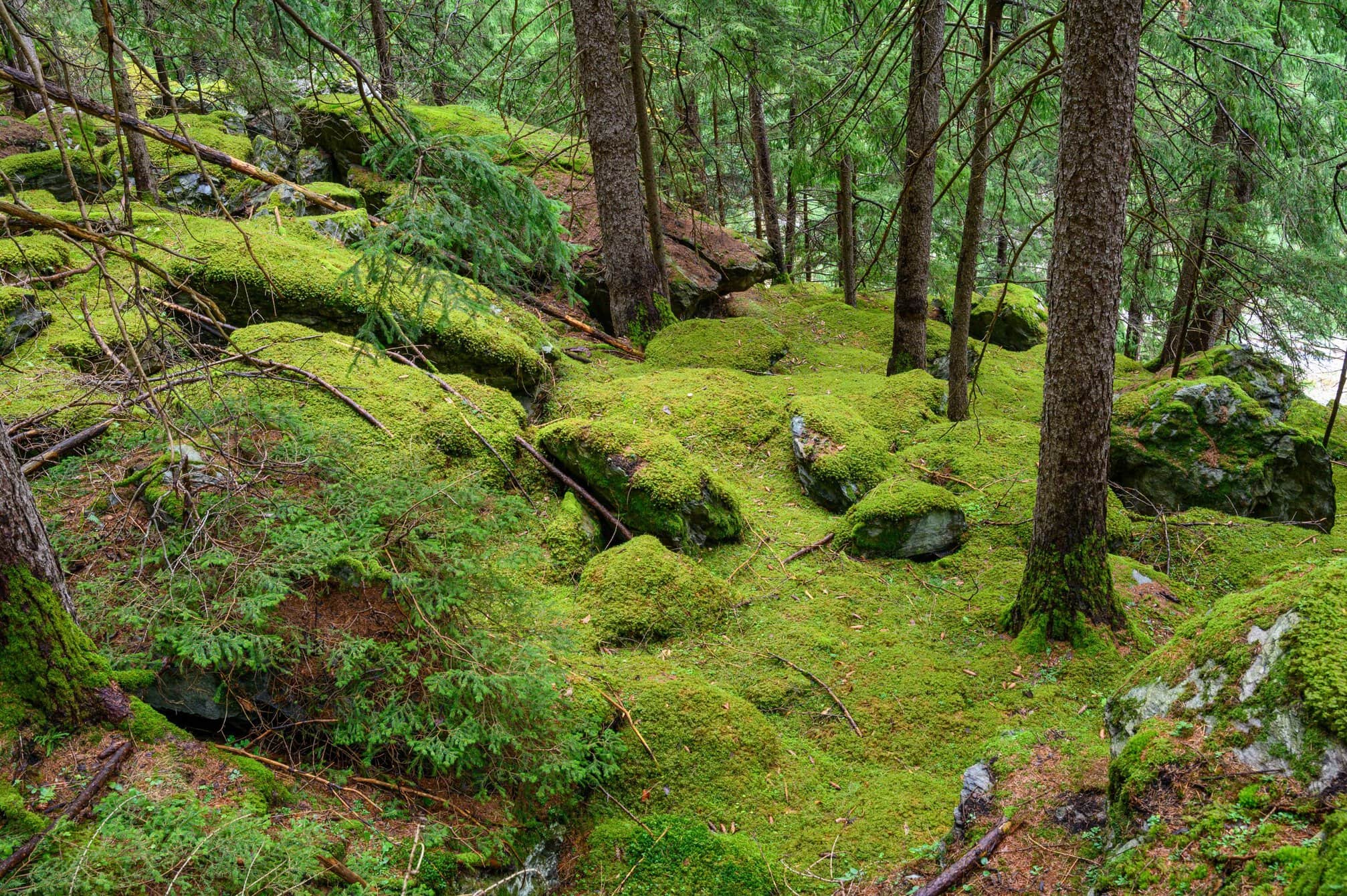
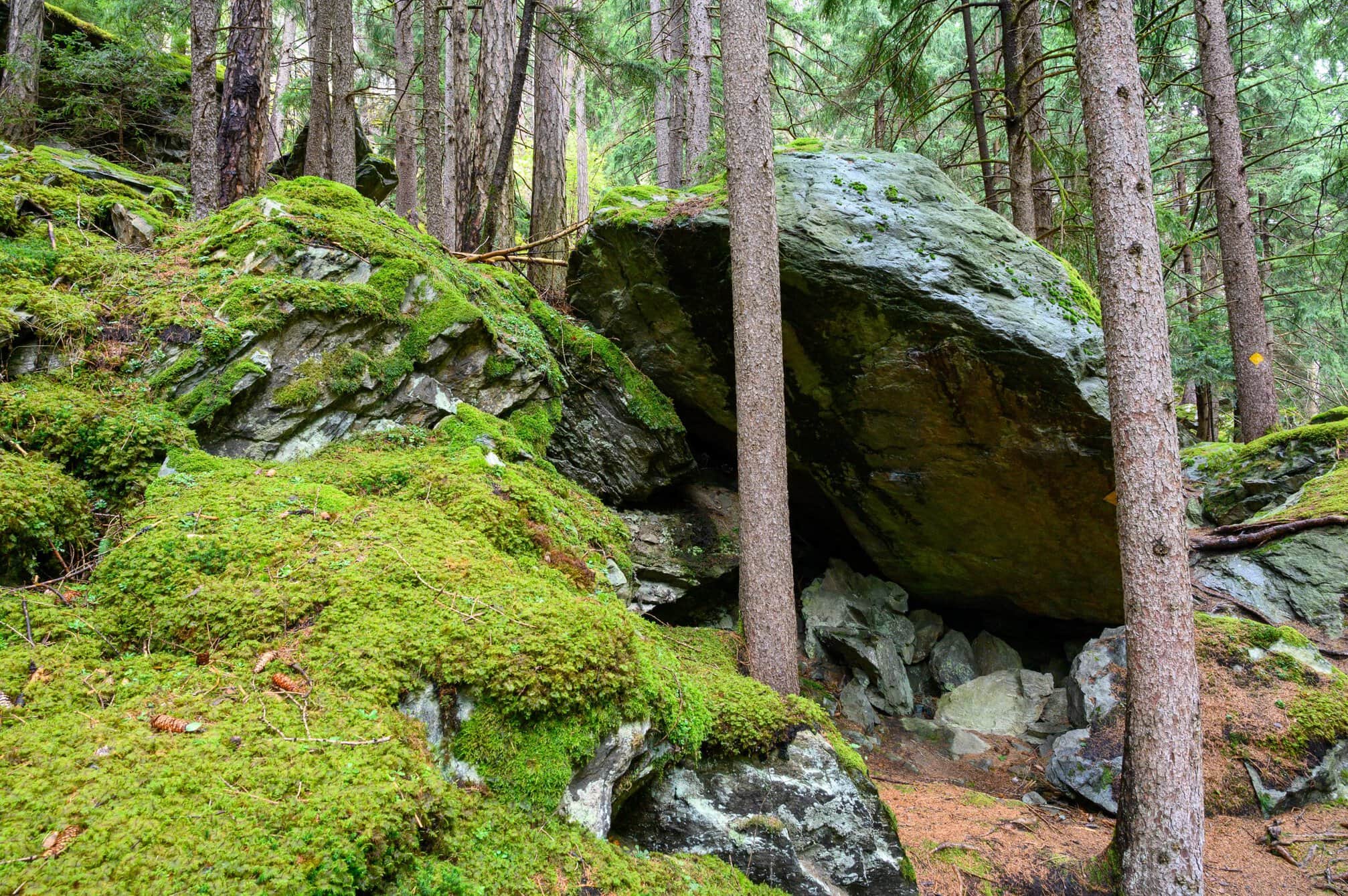
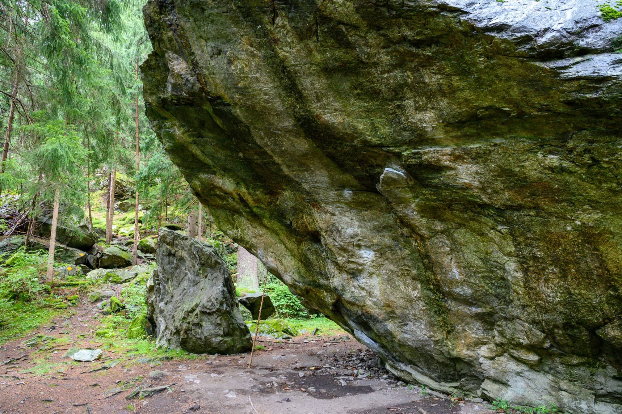
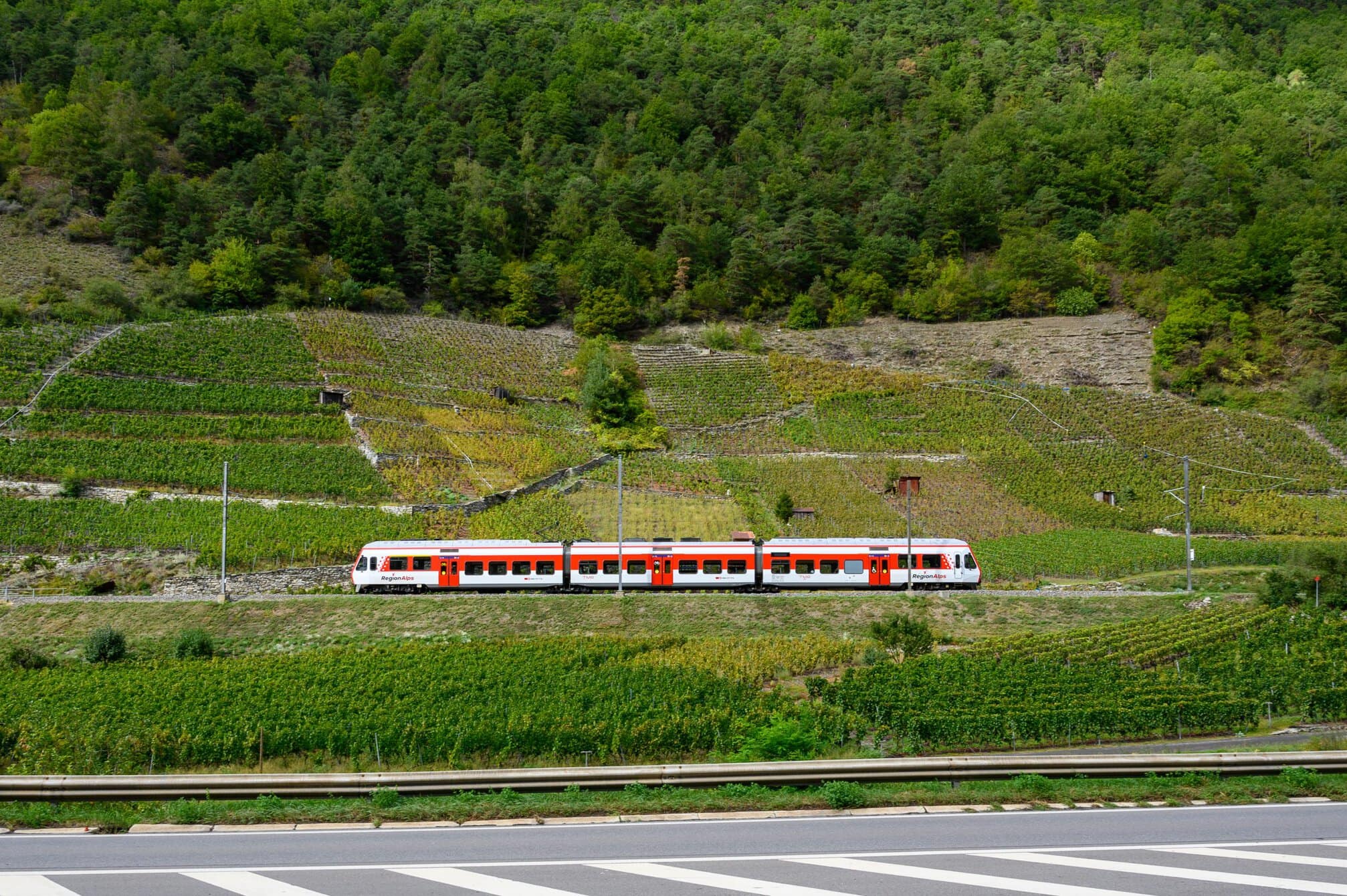
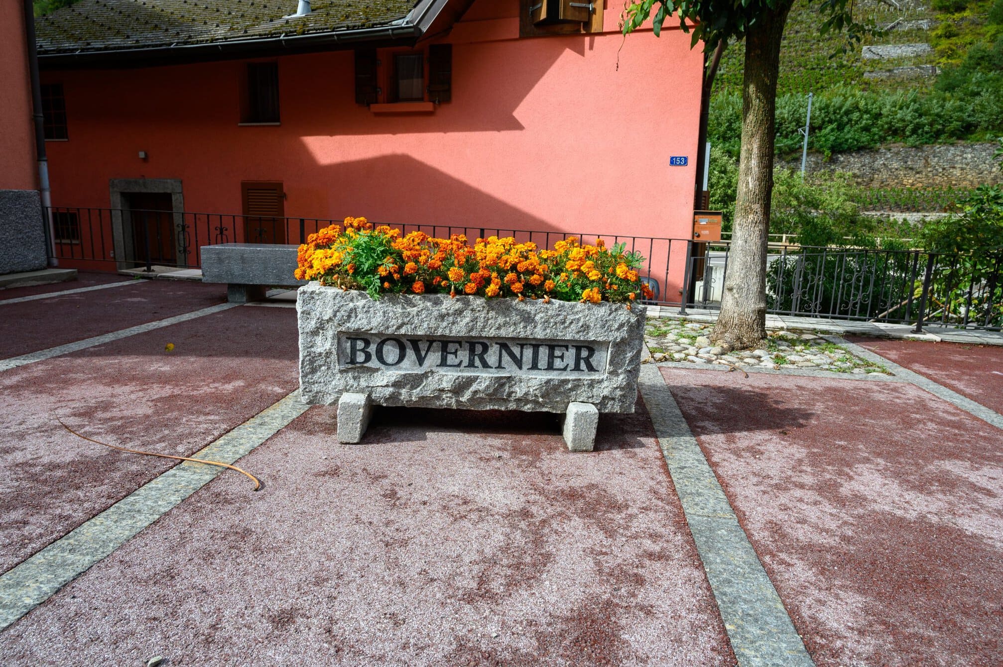
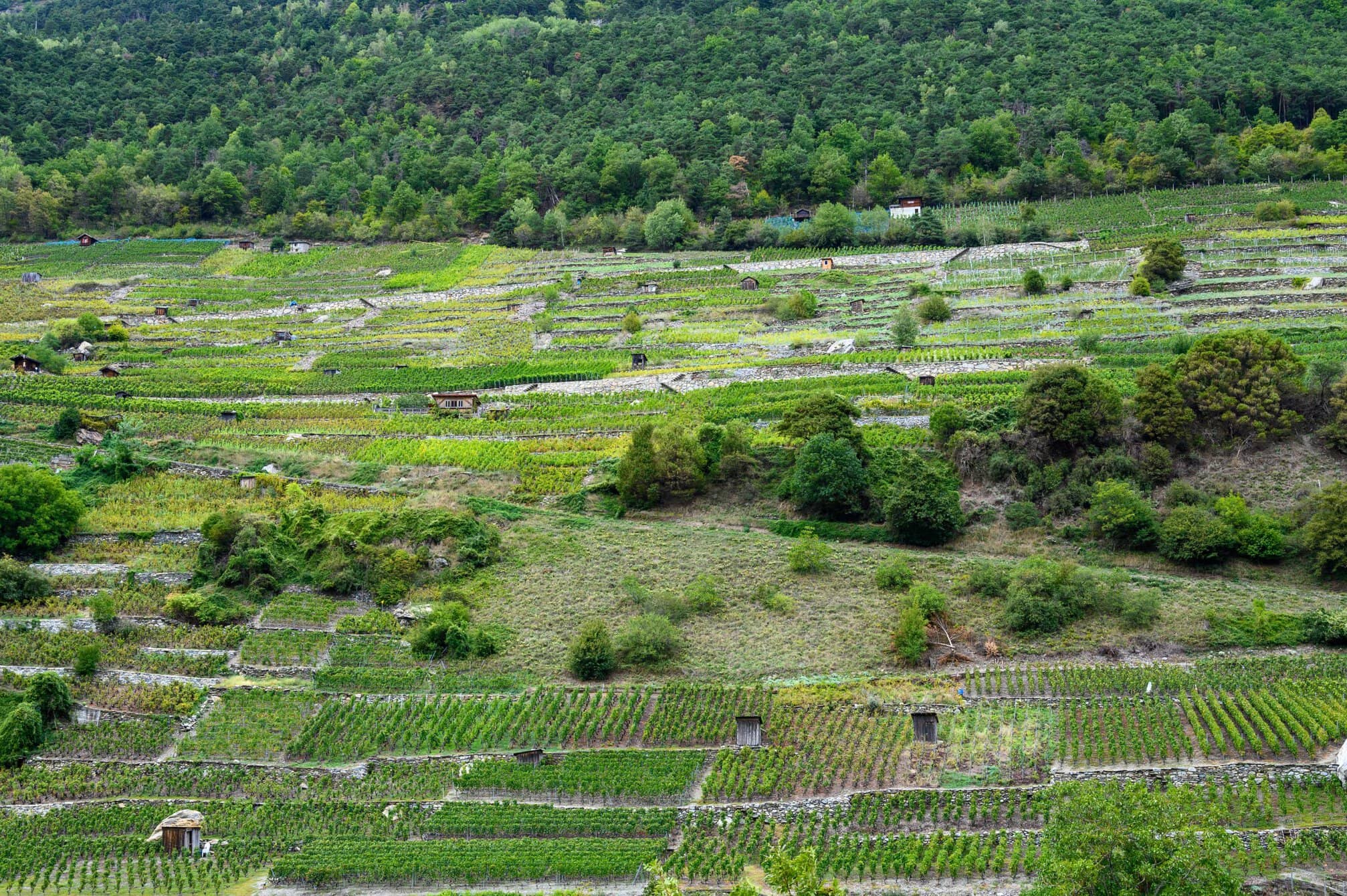
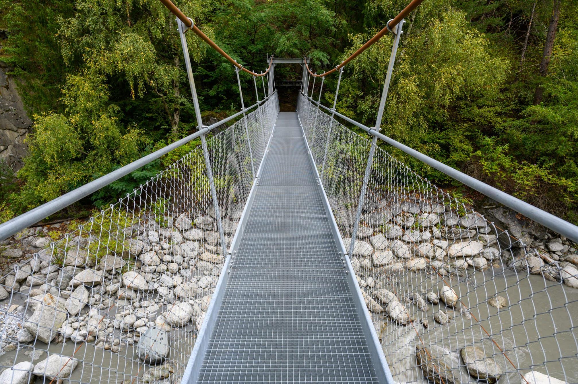
At Bovernier, 6km after Sembacker, I walked through the village, hoping to find somewhere open. No luck. I passed by the station, and was tempted to catch the train to Martigny, but decided to walk on. Is still needed to walk 5-6km. There was a lot of up and downhill, and I was beginning to wish I’d waited for the train. It was hard work at the end of the day, but a beautiful walk through a forest, close to the railway line.
I arrived at Martigny-Bourg at around 5pm, pretty much in line with the 5hrs and 10mins the sign had stated, not least taking into account that I had stopped for lunch and to talk with some of the people I had met.
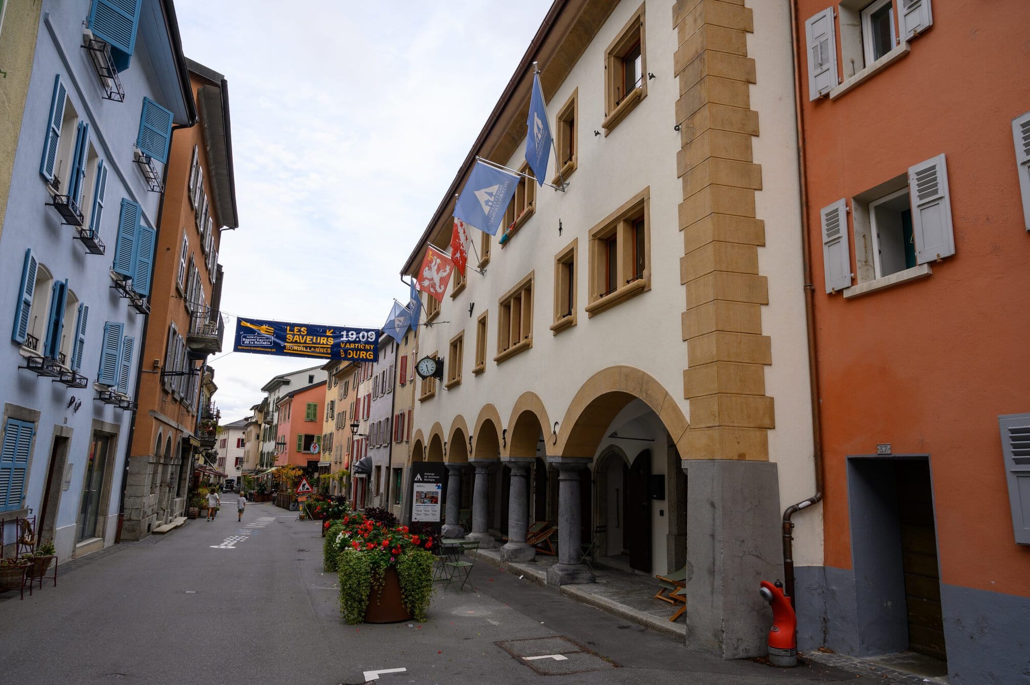
I stayed at the Martigny Youth Hostel, a beautiful building dating back 1645, know as the Bâtiment de l’Horloge (Building with a clock). Over the centuries, the building functioned as a local community hall, a school, and lodging for soldiers. It has been fully converted and is as much like a hotel as a hostel. The hostel is situated in the historic district of Martigny-Bourg on a lively promenade with numerous cafés, bistros and traditional shops.
The places to eat in the historic area seemed fairly expensive, but I had noted an Italian restaurant on the outskirts of town as I was arriving. I went there for Lasagne and Tiramisu. It had been a hard day, covering ca. 34km, climbing over 1.000m and descending, often on slippery paths, over 2.200m. After several hard days climbing and a long, partially wet, stage today, I was looking forward to some “quieter” stages.